HOME > ژتگ^ > ڈو‚蕨پEŒً’ت > Œً’تƒCƒپپ[ƒW > ’nگ}
10,000Œڈ‚جژتگ^‘fچق‚ھŒںچُ‚³‚ê‚ـ‚µ‚½پB
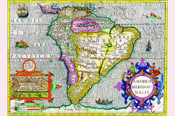
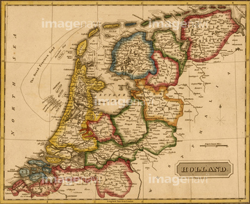
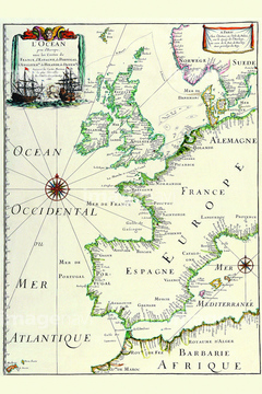
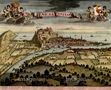
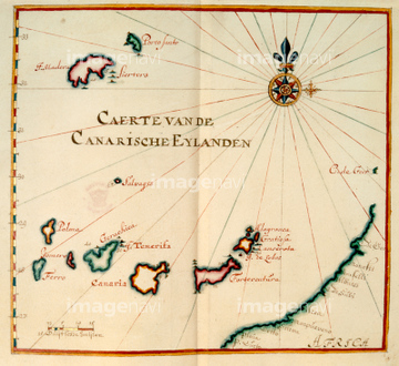
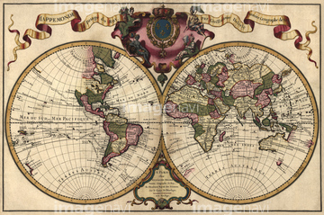
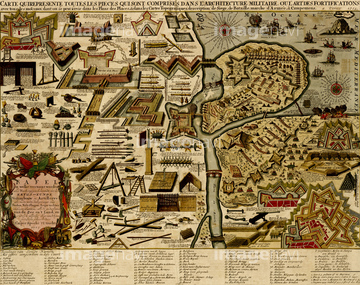
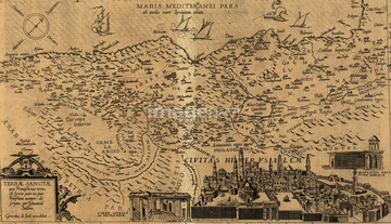
‚±‚جŒںچُŒ‹‰ت‚ة‚حپAIreland - 1665پAFortifications at Nice, France - 1700پANice on the Mediterranean - 1700پANorth Atlantic region, 1630پACanaan, The Land of Promise - 1700پAPolar Projection Map of the World 1700‚ب‚ا‚ھٹـ‚ـ‚ê‚ؤ‚¢‚ـ‚·پB

51437237

51437238


51437245

51437251

51436391


51435558

51435559

51435560

51435561

51435562


51435720

51435721

51435722

51435723

51435724

51435725

51435726

51435727

51435728

51435729

51435730

51435731


51435734

51435735

51435738

51435739
51437231

51437246

51437247

51430890
51430901

51422156


51435917

51436648


51437242

51436315

51436319

51436414

64055077

51436287

51436290


51435921

64055083

51436129


51437221

51437253

51435928


51435565

51435925

51435929

51435931

51435938

51435939

64055081

64052692

51436398

51405941

51405946

51436112

51436182


51410014

51410015

51410019

51435924

51435937


51436293
51437233
51435763
51437241
51435923
51437240

64055076

64055082
51437236

51411445

51411457

51424030


51435740

51435741


51436021

51436026

51436074

51436111

51436130

51436153

51436158

51436166


51411517

51411518

51411519

51411520


51436696


51435935
51492537
64083417


51435752

51436339

51435894


51435662

51436137
51436139

51436143

51435747

51411456

51436380


51436308

51435930


51430900

51436174


51436205


51411444

51411446

51411447

51411448

51411449


51411451

51411452

51411453

51411454

51411455


51411459

51411460

51411461

51411462

51411463

51411464

51411465

51411466

51411467

51411468

51411469

51411470

51411502

51411503

51411504

51411505

51411506

51411508

51411509


51411511

51411512

51411513

51411516

51411521

51411522

51411523

51411524
| ژںƒyپ[ƒW |
