HOME > ژتگ^ > ڈو‚蕨پEŒً’ت > Œً’تƒCƒپپ[ƒW > ’nگ}
10,000Œڈ‚جژتگ^‘fچق‚ھŒںچُ‚³‚ê‚ـ‚µ‚½پB
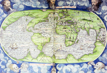
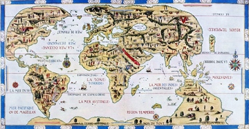
‚±‚جŒںچُŒ‹‰ت‚ة‚حپAAfrica - 1688پAAfrica - 1603پAAfrica - 1640پAPortuguese map of the East Coast of Africa - 1630پAPortuguese map of the South Pacific - 1630پACountie of Leinster (Ireland) 1675‚ب‚ا‚ھٹـ‚ـ‚ê‚ؤ‚¢‚ـ‚·پB

51436696

51436416

64055073

51436021

51436026

51435748


51435725

51437241


51436112

51436182

51436287

51436290

51437221

64055075
53121502


51435917

51435921


51436648

51435746

51436391

51437242

51436315

51436319

51436398

51436414

51405941

51405946

51435740

51435741


51436074

51436111

51436129

51436130

51436153

51436158

51436166


51410014

51410015

51410019
51489953
51435546

64055074
51941913
51493136


51436137

51436139


51435558

51435559

51435560

51435561

51435562

51435565


51437237

51437238

51437245

51437246

51437247

51437251

51435720

51435721

51435722

51435723

51435724

51435726

51435727

51435728

51435729

51435730

51435731


51435734

51435735

51435738

51435739

51436293

51436380

51435928

51435939

51492537
53131295
51437257

64055077

64055081

64052692
51437255

64055083
51491058
51493137
51902155

51437213

51436308
51436317

51435747

51411456
51436672
51436691

51435535
51437233

51435662
51435704

51435924

51435925


51435929

51435931


51435937

51435938

51430900

51436143

51436174


51436205


51411444

51411445

51411446

51411447

51411448

51411449


51411451

51411452

51411453

51411454

51411455

51411457


51411459

51411460

51411461

51411462

51411463

51411464

51411465

51411466

51411467

51411468

51411469

51411470

51411502

51411503

51411504

51411505

51411506

51411508

51411509


51411511

51411512

51411513


51411516

51411517
| ژںƒyپ[ƒW |
