HOME > ژتگ^ > ڈو‚蕨پEŒً’ت > Œً’تƒCƒپپ[ƒW > ’nگ}
10,000Œڈ‚جژتگ^‘fچق‚ھŒںچُ‚³‚ê‚ـ‚µ‚½پB
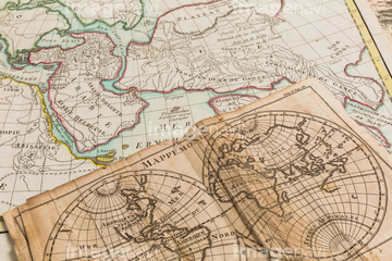
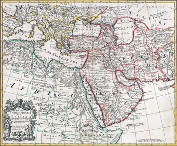
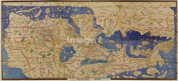
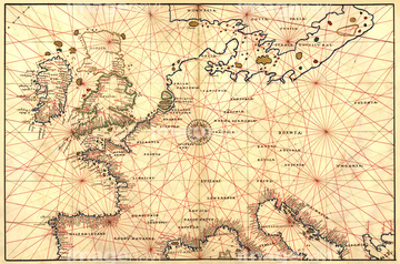
‚±‚جŒںچُŒ‹‰ت‚ة‚حپAWorld Map with Figural Representations of the WorlپcپAŒأ‚¢گ¢ٹE’nگ}پAƒAƒ“ƒeƒBپ[ƒN‚جگ¢ٹE’nگ}پAMap of Turkey, Arabia and PersiaپAArabic Map of the Mediterranean 1154پAPortolan Map of Spain, England, France, Germany, Tپc‚ب‚ا‚ھٹـ‚ـ‚ê‚ؤ‚¢‚ـ‚·پB

51435746


64055073

51436380

51437221
51437257
51437255

51435748
64082614

64055082

64055076


51437218


64052702


51421923

64055074

64055075
51492537
51492549

51421922

64055079

64052691

64052698

51436381

51435745

51436390
64082723
51437220
64082631
64082632
64082639
64082665
64082667

51435740

51435744
51495010


51436696
51436241
51436392
51430890

51411444

51430900

51426610

40560935
40560985
51422966
51435743


64083427

51410014

51410015

51410019

51405941

51405946

51436074

51436111

51436112

51436129

51436130

51436153


51436158

51436166

51436182

51436287

51436290

51436315

51436319

51436398

51436414

51435741

51435928

51435939


51436021

51436026

64055077

64052692
40557042
40557044
40560936
40560937
40560983
40560984
40560986
40560987
40583492
40583494
40561442
40561445

51435807


51411445

51411446

51411447

51411453

51411454

51411455

51411456

51411466

51411467

51411469

51411470

51411503

51411516

51435535

51435722

51435723

51435730

51435739

51437213
51437232
51437259

51411448

51411457

51411459

51411468

51411505

51411506

51411508

51411509

51411513

51411523

51411524

51435724

51435725

51435731

51435735

51411449

51411452


51411461

51411462

51411464

51411465

51411502

51411504

51411511

51411512


51411517

51411518

51411519

51411520

51436143


51492548
64083494


51436137

51436139

51437242
64082662
51436864
53127397


40544551

51417134

64055081

64055083
51435749
12406251

10307301

10307315

10307323

10307351

10307356

10307357

10307360

10307362

70125589
| ژںƒyپ[ƒW |
