HOME > ژتگ^ > ڈو‚蕨پEŒً’ت > Œً’تƒCƒپپ[ƒW > ’nگ}
10,000Œڈ‚جژتگ^‘fچق‚ھŒںچُ‚³‚ê‚ـ‚µ‚½پB
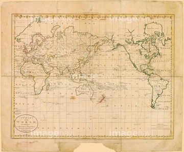
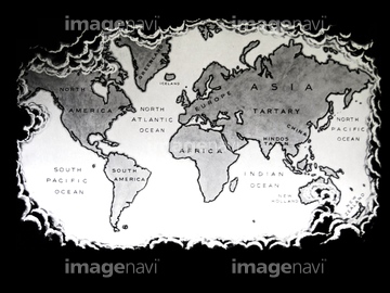
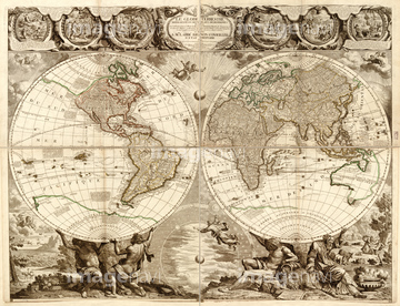
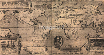
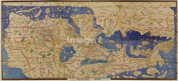
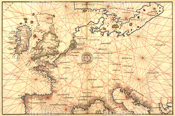
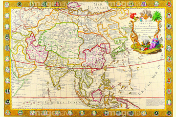
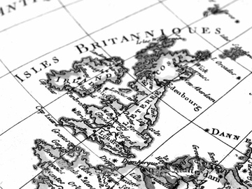
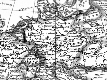
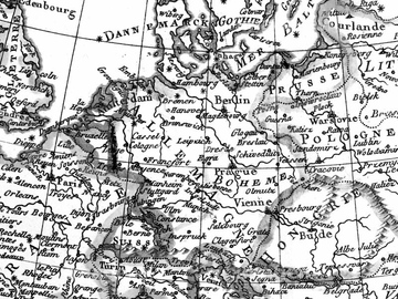
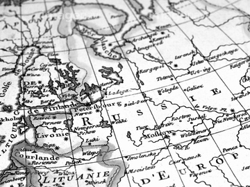
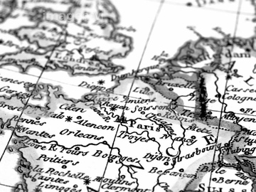
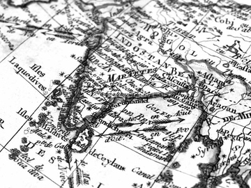
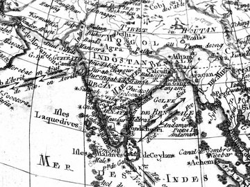
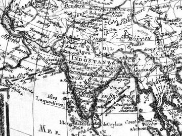
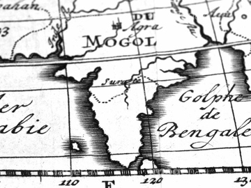
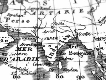
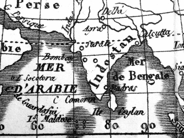
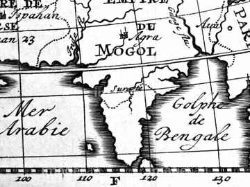
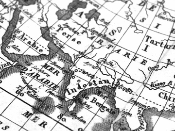
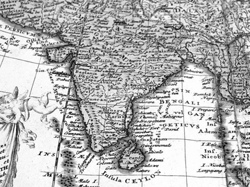
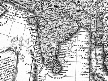
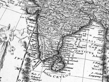
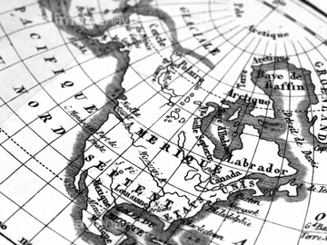
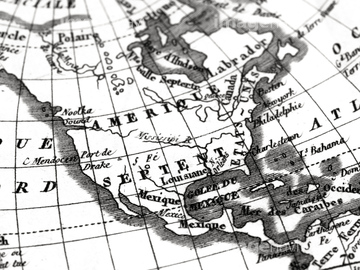
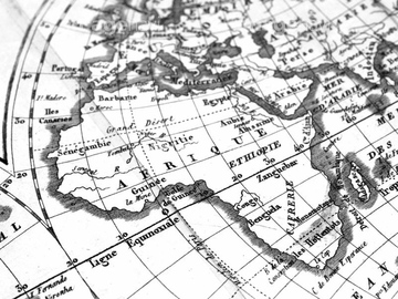
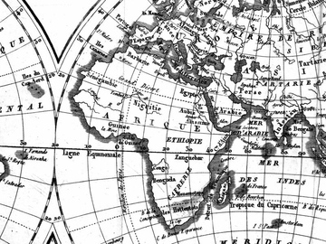
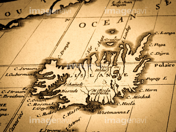
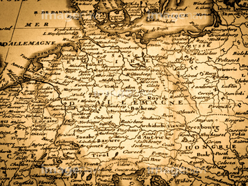
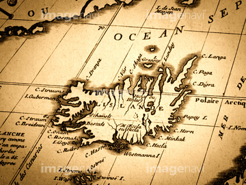
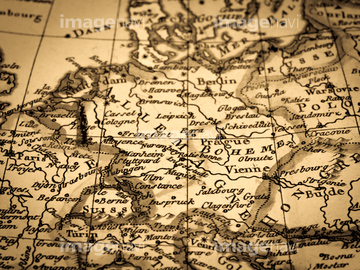
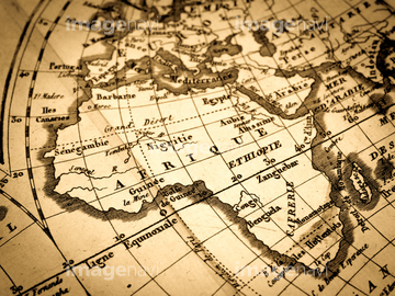
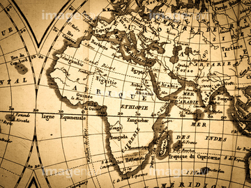
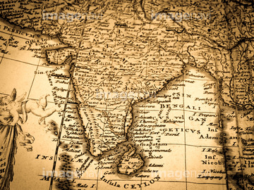
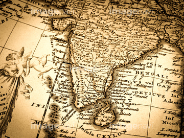
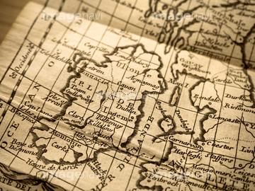
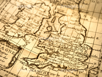
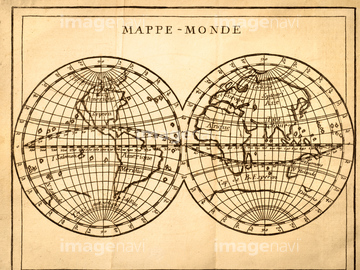
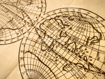
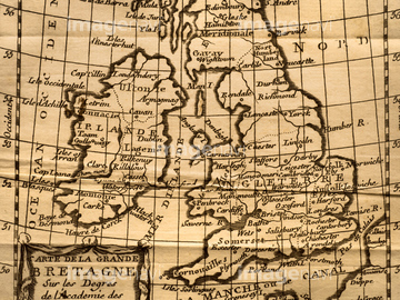
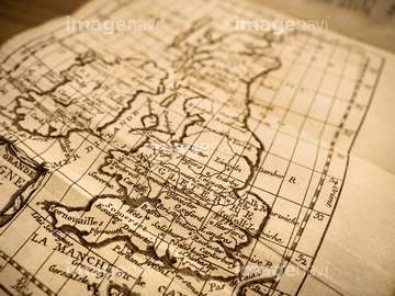
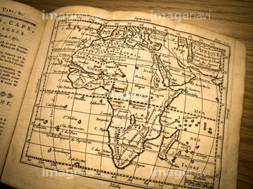
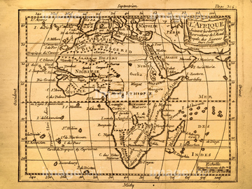
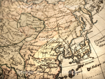
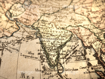
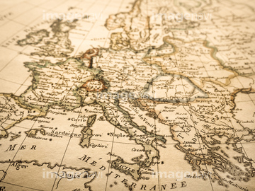
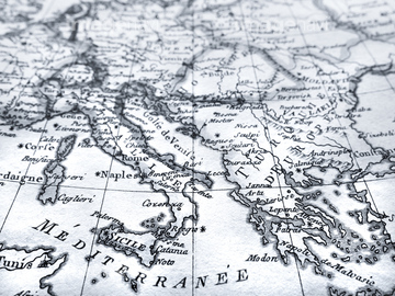
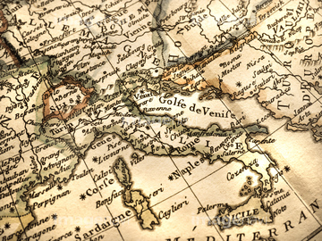
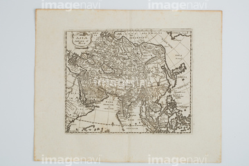
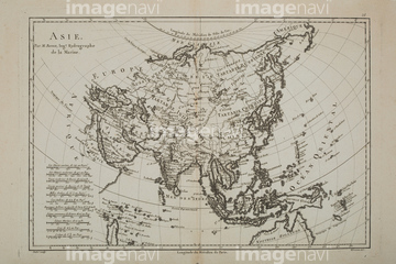
‚±‚جŒںچُŒ‹‰ت‚ة‚حپAƒAƒ“ƒeƒBپ[ƒN‚جگ¢ٹE’nگ}پAMap of Southern BrazilپAMap of Southern IndiaپAMap of Southern MexicoپAMap of the PhillipinnesپAworld map is believed by some to have been compileپc‚ب‚ا‚ھٹـ‚ـ‚ê‚ؤ‚¢‚ـ‚·پB

51435748

64055073

64055075

64055074
64116814

51421923

51421922

51435745

51436381

51435746

64052691
51436392

51436416


51437213

64055079

64055082

51436696

40544551

64055076

64052698

51436390
51430893
51492538
51436382
51436387


51435744

51436380

51421877

51421879

51421880

51421883

51421884

51421885

51421888

51421894

51421895

51421896

51421897

51421898

51421899

51421904

51421905

51421906

51421916

51437221


51421920


64082614
51436241
51489953

51424033
53125133

51426610

51421890

51421900

51421902

51421921

51421882
51421892

51421889

51421891

51421901
51435743
51422966


51421907

64052702
51493136

51436244
51493144


51436011
51437218


51437249

51435807
41421458
41421459
41421460
41421465
41421467
41421470
41421473
41421497
41421498
41421499
41421500
41421501
41421502
41421503
41421504
41421506
41421507
41421530
41421570
41421571
41421578
41421579
41421602
41421603
41421607
41421608
41421623
41421624
41421625
41421626
41421685
41421686
41421687
41421688
41421697

41421698
41421699
41421715
41421730
41421731
41421737
41421803
41421804
41421805

41421806
41421807
41421808
41421811
41421817
41421819

41421824
41421825
41421826
41421827
41421828
41421829
41421830
41421831
41421832
41421833
41421851
41421852
41455214
41455218
41455220
41455221
41455224
41455225
41455226
41455227
41455230
41455244
41455246
41455248
41455282
41455283
41455286
41087391
41088180
41088181
41088189
41088190

41088221
41088253
41088261
41088270
40556471
40556472
| ژںƒyپ[ƒW |
