HOME > ژتگ^ > ڈو‚蕨پEŒً’ت > Œً’تƒCƒپپ[ƒW > ’nگ}
10,000Œڈ‚جژتگ^‘fچق‚ھŒںچُ‚³‚ê‚ـ‚µ‚½پB
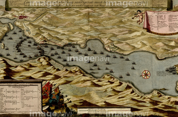
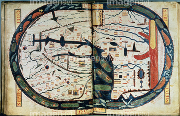
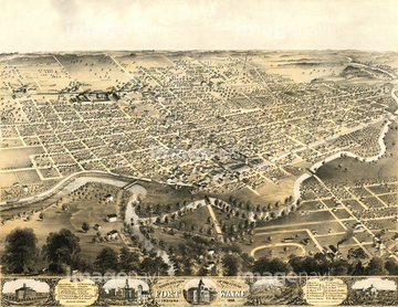
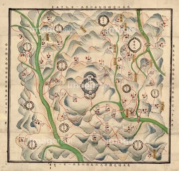
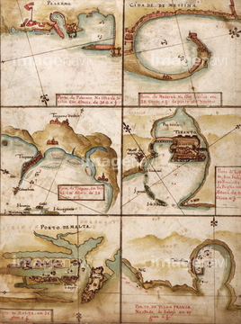
‚±‚جŒںچُŒ‹‰ت‚ة‚حپAAmerica Divided amongst Claimants - 1694 1694پANew France - 1673پACanada & New France - 1685پACuba, Santiago Bay 1639پAMexico in 1682 pictorially 1682پAMexico, New Spain - 1656‚ب‚ا‚ھٹـ‚ـ‚ê‚ؤ‚¢‚ـ‚·پB


51435928
51435923

51435939

51435925

51435937

51435917

51435929

51435931

51435938


51435921

51435924


51435930

51435935
51435546

51436315

51436319

51436129

51437237
51437063

51437064


51410014

51938834
51435587

51435662
51435704


51435740

51435741


51436021

51436026

51436074

51436111

51436112

51436130

51436153


51436158

51436166

51436182

51436287

51436290

51436380

51436398

51436414

51405941

51405946

51410015

51410019

64055077

64052692
51436405


51435565

51436174


51411465

51435535

51435721

51435723

51435730

51411445

51411446

51411447

51411453

51411454

51411455

51411456

51411460

51411466

51411467

51411469

51411470

51411503

51411516

51411522

51435724

51435725

51435729

51435731

51435735

51411448

51411457

51411459

51411463

51411468

51411505

51411506

51411508

51411509

51411513

51411521

51411523

51411524

51435558


51436143


51411449

51411452


51411461

51411462

51411464

51411502

51411504


51411511

51411512


51411517

51411518

51411519

51411520


51437221
51436316
51436403

64055076

64055081

64055082

64055083
51436473
51436588
51436869
51436876
51436296
19283091
19283231
19283234


51435559

51435560

51435561

51435562

51435720
| ژںƒyپ[ƒW |
