HOME > ژتگ^ > ڈو‚蕨پEŒً’ت > Œً’تƒCƒپپ[ƒW > ’nگ}
10,000Œڈ‚جژتگ^‘fچق‚ھŒںچُ‚³‚ê‚ـ‚µ‚½پB
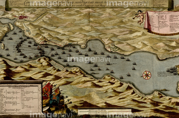
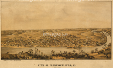
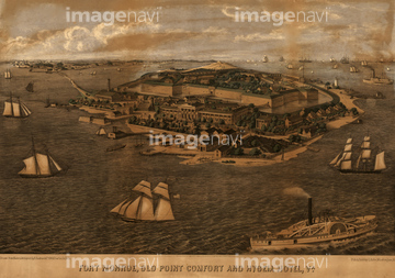
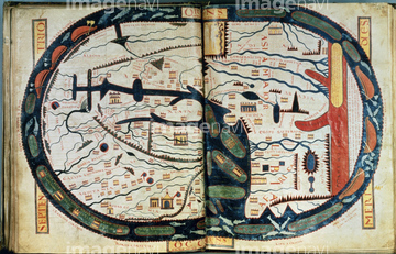
‚±‚جŒںچُŒ‹‰ت‚ة‚حپAAfrica - 1603پAAfrica - 1640پAAsia - 1630 by the PortugueseپAPortuguese map of the East Coast of Africa - 1630پAPortuguese map of the South Pacific - 1630پAIreland - 1665‚ب‚ا‚ھٹـ‚ـ‚ê‚ؤ‚¢‚ـ‚·پB

51435928

51435939

51435917

51435925

51435929

51435931

51435938


51435921

51435924

51435937


51435930


51435923
51435935

51436315

51436319

51436129
51436584
51938834

51437237

51435662
51435704


51405941

51405946

51410014

51410015

51410019


51436021

51436026

51436074

51436111

51436112

51436130

51436153


51436158

51436166

51436182


51436287

51436290

51436380

51436398

51436414

51435740

51435741


19283091
19283231
19283234
51435546

51436033
51436257
51436258
51436425
51436429
51436468
51436507
51436538
51436539
51436543
51436565
51436577
51436587

51436874
51436899
51436904
51436908

51436911
51436912
51436913
51437063

51437064
51437069
51437076
51437090
51437102
51437120
51437137
51437141
51437142


64055076

64055077

64055081

64055082

64055083

64052692
51436316
51436403
51436405
51436421
51436464
51436471
51436485
51436500
51436503
51436542
51436547
51436575

51436875
51436884
51436885
51436886
51436887
51436902
51436906
51437075
51437077
51437078
51437079
51437082
51437084
51437096
51437110
| ژںƒyپ[ƒW |
