HOME > ژتگ^ > ڈو‚蕨پEŒً’ت > Œً’تƒCƒپپ[ƒW > ’nگ}
10,000Œڈ‚جژتگ^‘fچق‚ھŒںچُ‚³‚ê‚ـ‚µ‚½پB
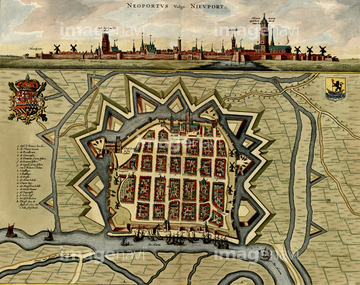
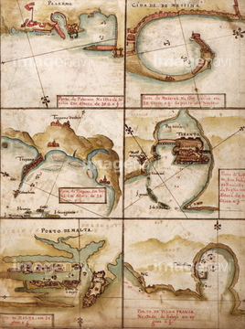
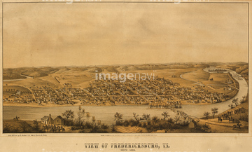
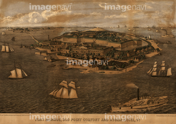
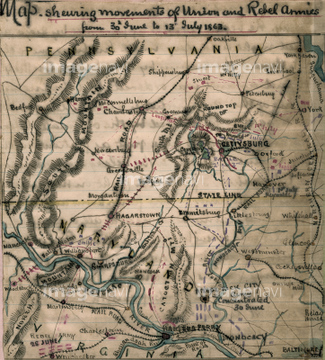
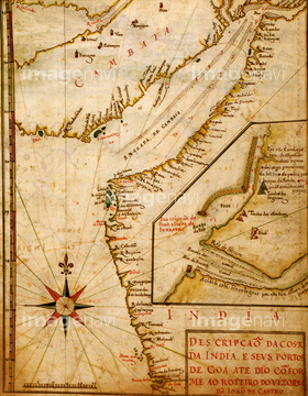
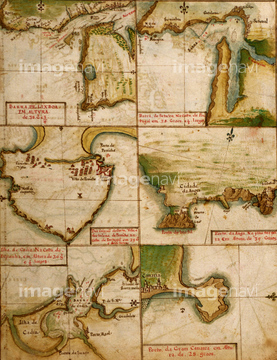
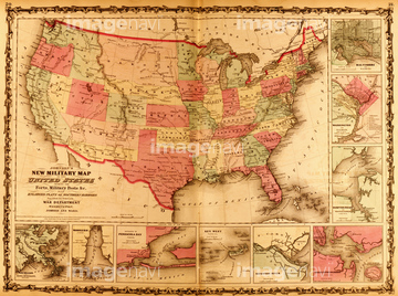
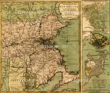
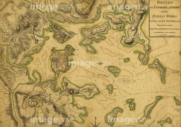
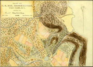
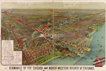
‚±‚جŒںچُŒ‹‰ت‚ة‚حپAPortuguese maps of the Mediterranean - 1630پAFredericksburg aerial view - 1863پAFort Monroe, Old Point Comfort and Hygeia Hotel, VپcپAPort of Havana Cuba 1639پASiege of Quebec City 1670پAMAP OF THE WORLD, c1060.‚ب‚ا‚ھٹـ‚ـ‚ê‚ؤ‚¢‚ـ‚·پB

51435931

51435925

51435929

51435924


51435938

51435937

51435928


51435939


51435917

51435921


51435930
51435923
51435935

51436315

51436319

51436112

51436182


51436398

51436129

51437237

51411456

51436287

51436290

51436414

51405941

51405946

51410014

51410015

51410019


64055083

51436584

51435662
51435704
51938834

51435747

51435740

51435741


51436021

51436026

51436074

51436111

51436130

51436153

51436158

51436166
51436425
51436507

51436174


51437221

51436402
51436403
51436405
51436234
51436235
51436236
51436237

51435546

51436543
51436565
51436577
51436500


64052692

64055077

64055081
51436033
51436257
51436258
51436429
51436468
51436538
51436539
51436587
51436874
51436899
51436904
51436908

51436911
51436912
51436913
51437069
51437076
51437090
51437141
51437142


51436308


51436380


51435558

51435559

51435560

51435561

51435562

51435565

51435720

51435721

51435722

51435723

51435724

51435725

51435726

51435727

51435728

51435729

51435730

51435731


51435734

51435735

51435738

51435739

51436205
| ژںƒyپ[ƒW |
