HOME > ژتگ^ > ڈو‚蕨پEŒً’ت > Œً’تƒCƒپپ[ƒW > ’nگ}
10,000Œڈ‚جژتگ^‘fچق‚ھŒںچُ‚³‚ê‚ـ‚µ‚½پB
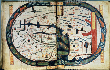
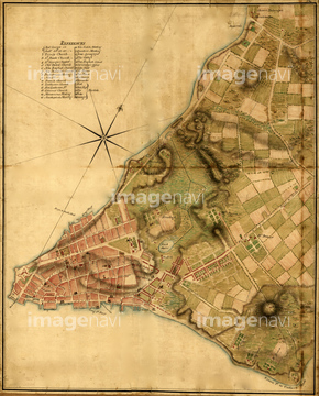
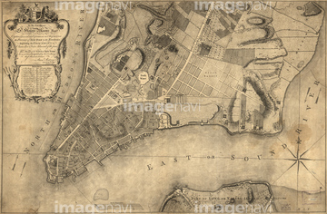
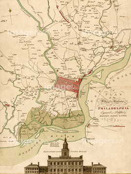
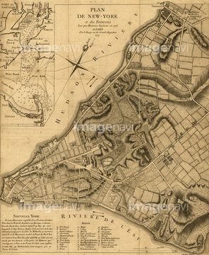
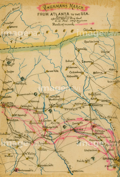
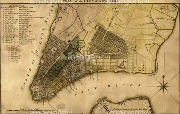
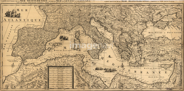
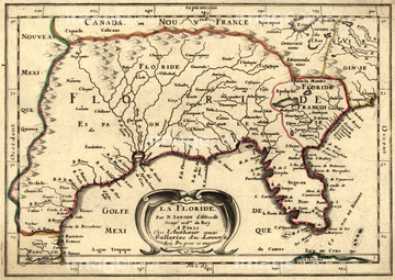
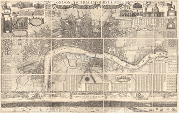
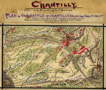
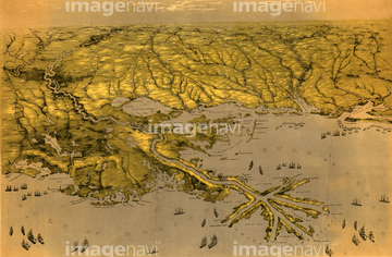
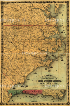
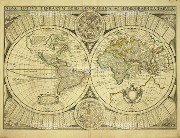
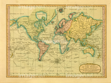
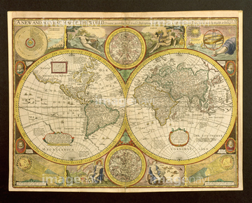
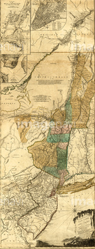
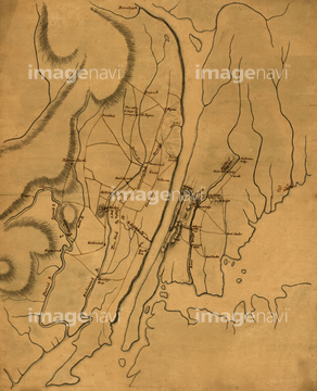
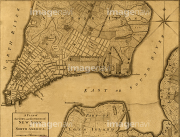
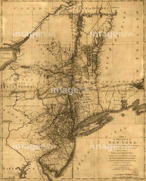
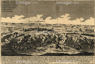
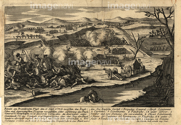
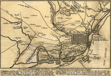
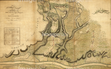
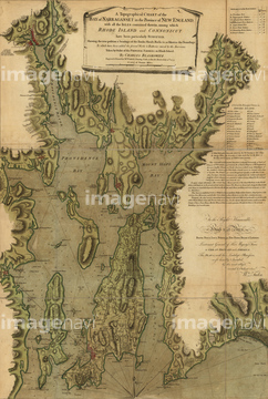
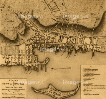
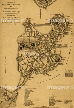
‚±‚جŒںچُŒ‹‰ت‚ة‚حپAMAP OF THE WORLD, c1060.پANew York City Plan - 1776پAPlan of New York 1776پAPlan of Philadelphia & its environs - 1777پAPlan of New York & Environs - 1777پASherman's March to the Sea‚ب‚ا‚ھٹـ‚ـ‚ê‚ؤ‚¢‚ـ‚·پB
51435935
51430872

51435917

51435928

51435939

51435937


51435921
51435923


51435930


51435925

51435929

51435931

51435938

51435924


51436315

51436319


51437237

51436129
51435546
51436587
64052701
51436425

64055083

51904659

51436584

51436287

51436290
51938834
51436902
51436904
51437084
51436478
51437090
51914388


51436205
51436206


51436308
51436691


51430900
51436293

51436648

51437242
51436507

51435662
51435704


51410014

51410015

51410019

51405941

51405946

51436074

51436111

51436112

51436130

51436153


51436158

51436166

51436182


51436380

51436398

51436414

51435740

51435741


51436021

51436026
51458252

51436076
51436541
51436562
19283091
19283231
19283234
51436257
51436258
51436421
51436429
51436464
51436468
51436471
51436485
51436500
51436503
51436538
51436539
51436542
51436543
51436547
51436565
51436575
51436577
51436874

51436875
51436884
51436885
51436886
51436887
51436899
51436906
51436908

51436911
51436912
51436913
51437063

51437064
51437069
51437075
51437076
51437077
51437078
| ژںƒyپ[ƒW |
