HOME > ژتگ^ > ڈو‚蕨پEŒً’ت > Œً’تƒCƒپپ[ƒW > ’nگ}
10,000Œڈ‚جژتگ^‘fچق‚ھŒںچُ‚³‚ê‚ـ‚µ‚½پB
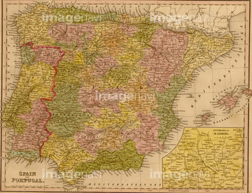
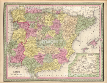
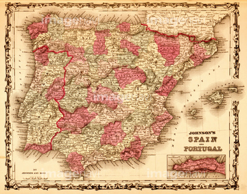
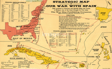
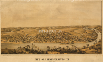
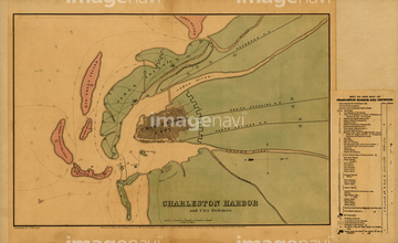
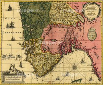
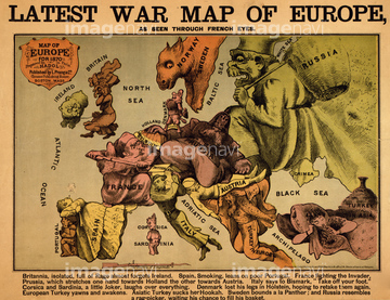
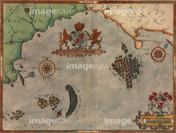
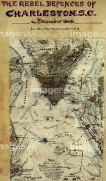
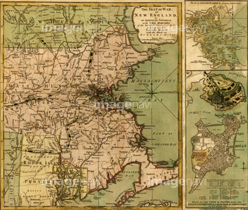
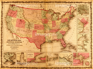
‚±‚جŒںچُŒ‹‰ت‚ة‚حپAVicksburg Defenses 1863پASpain & Portugal 1844پASpain & Portugal - 1849پASpain & Portugal 1862پAStrategic Map of Our War with Spain - 1898پAFredericksburg aerial view - 1863‚ب‚ا‚ھٹـ‚ـ‚ê‚ؤ‚¢‚ـ‚·پB

51435938

51435939

51435937

51435925

51435929

51435931

51435924

51435928


51435917


51435921


51435930
51435923
51435935

51436112

51436315

51436319

51436182


51436398

51436129

64055083

51437237

51405941

51405946

51410014

51410015

51410019

51436287

51436290

51436414


51436426
51435893
51436338
51435831
51436584

51435662
51435704
51938834

51411456

51435747


51436021

51436026

51436074

51436111

51436130

51436153

51436158

51436166

51435740

51435741
51436425
51436507

51436174


51437221


51436403

51422156

51435567
51436405

64055079
51435546

51436446
51436543
51436565
51436577


64055077

64055081

64052692
51436033
51436257
51436258
51436429
51436468
51436538
51436539
51436587
51436874
51436899
51436904
51436908

51436911
51436912
51436913
51437069
51437076
51437090
51437141
51437142


51436308


51436380

51411444

51411445

51411446

51411447

51411448

51411449


51411451

51411452

51411453

51411454

51411455

51411457


51411459

51411460

51411461

51411462
| ژںƒyپ[ƒW |
