HOME > ژتگ^ > ڈو‚蕨پEŒً’ت > Œً’تƒCƒپپ[ƒW > ’nگ}
10,000Œڈ‚جژتگ^‘fچق‚ھŒںچُ‚³‚ê‚ـ‚µ‚½پB
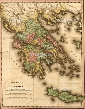
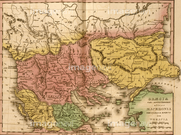
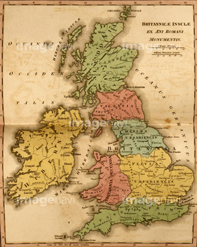
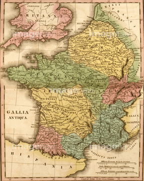
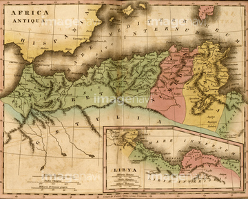
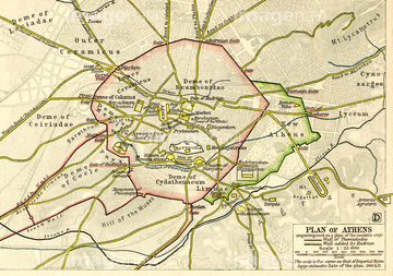
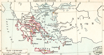
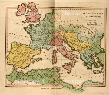
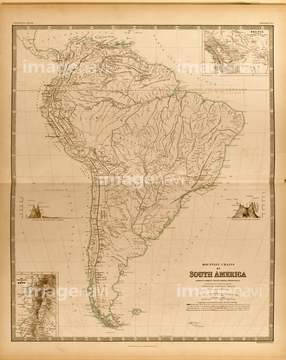
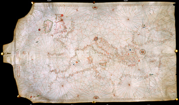
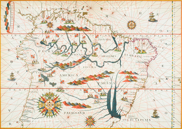
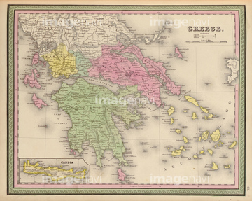
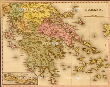
‚±‚جŒںچُŒ‹‰ت‚ة‚حپAPhysical Map of Brazil, the Amazon & Its tributariپcپABrazil - 1822پACenta Valley Argentina - 1794پAMountain Chains in North America 1848پAMountain Systems of South America 1848پACurrents in the Indian Ocean 1848‚ب‚ا‚ھٹـ‚ـ‚ê‚ؤ‚¢‚ـ‚·پB
51435952
51435953
51435955
51435950
51435954
51435951
51435946
51435949
51435947
51435948

51422942

51422943

51422944
53133032

51421591
53134545
51472437

51421917

51421919


51422840

51422887

51436264

51436265


51436273

51417169

51422839

51422841

51422843

51421890

51421907
51461477


51436058

51436064


51436278

51436280
51436294
51422940

64052655

51422842

51421884

51421885

51421889

51421898

51421901
51421908


51422156

51437240
52310869
51913056

51436261


51436268


51436271


51436281


51424032

53132940
51422777

51421916

51421920


51421877

51421879

51421880

51421883

51421888

51421891
51421892

51421894

51421895

51421896

51421897

51421899

51421900

51421902

51421904

51421905

51421906


51421921

51423095
64120023
51422779
51422888

51424030
51417276

53134494

51459589

53133038


64083420
52311858

51421882

51421922

51421923


64082648
64082669


51421621
51422878
51436070

51424033
51435569
51417072
52101988
52101989
51421887
51436350
51435905
51417293
51435903

64052692

51421912
51417139
| ژںƒyپ[ƒW |
