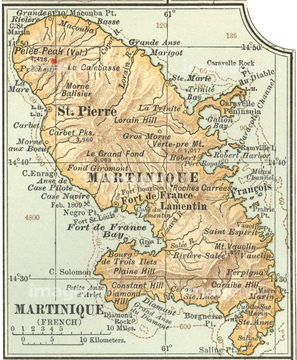
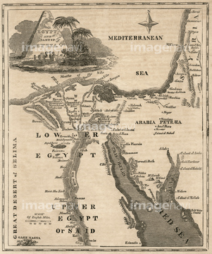
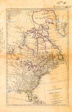
HOME > ژتگ^ > ڈو‚蕨پEŒً’ت > Œً’تƒCƒپپ[ƒW > ’nگ}
10,000Œڈ‚جژتگ^‘fچق‚ھŒںچُ‚³‚ê‚ـ‚µ‚½پB
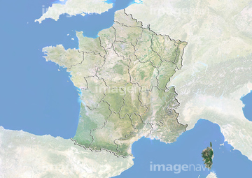
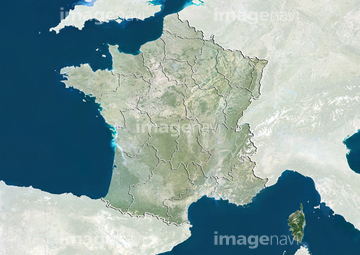
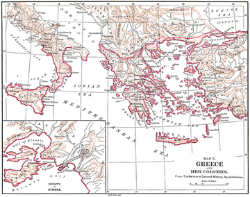
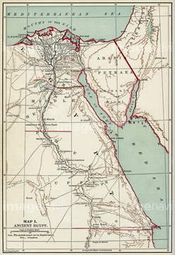
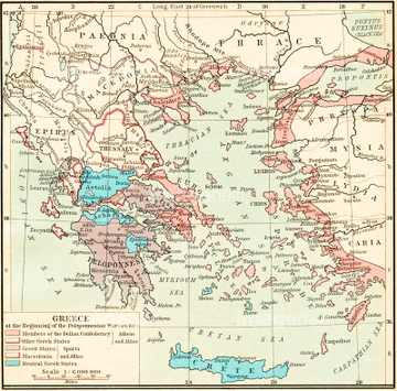
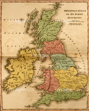
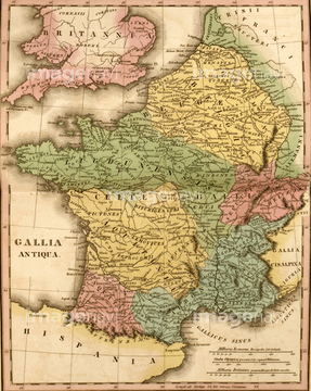
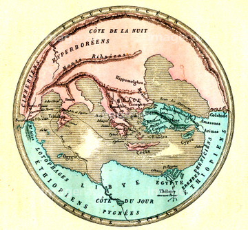
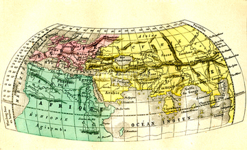
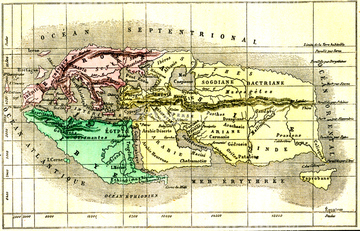
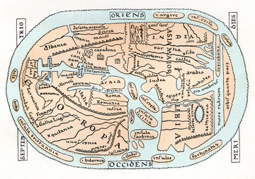
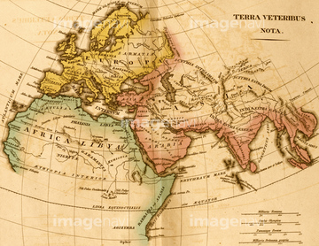
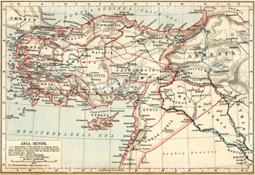
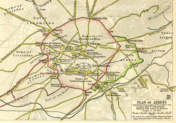
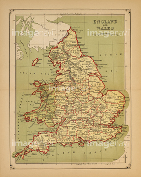
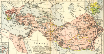
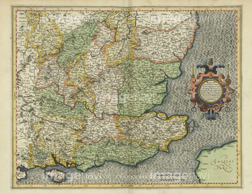
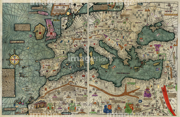
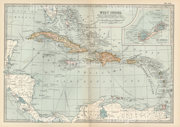
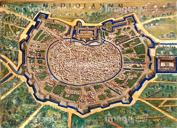
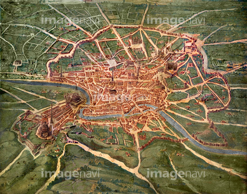
‚±‚جŒںچُŒ‹‰ت‚ة‚حپAMap of the Babylonian, Assyrian and Hittite empireپcپAThe World by EratosthenesپAThe World by HerodotusپAThe World by HomerپAThe World by StraboپA11th Century world map, artwork‚ب‚ا‚ھٹـ‚ـ‚ê‚ؤ‚¢‚ـ‚·پB
52310869
52310871

51435952


51422840
52311858
53134494
51417285
64083444
64083445
53134545

51422839

51422841

51435955
51435950
51417145
51417148
51417149
51417165
51417293
51417150


51422842

51422843
64107450
64107451
64107452
64107453
64107454
64088155
64089074
64089082
51417320
51417266
51417321

64052655
64089072
51435954
64259304

53133038

64083420
51417139
64013218
64083017
51435946
53133032
52310906
64089032

51417146
52304687
51417151
51417154
51417164
51417168
51417171
51417175
51417178
51417182
51417184
51417190
51417192
51417194

64149791
64091457
52228586
51435947
51417160
51417162
53133041
53133051
51913056
51435951
51435953
64120023
51417137
51417138
51417140
51417141
51417143
51417262
51417294
52310815
51417322
64116818

51421591

51421917

51421919
64259409
64259410
51451139
51451516
52211053
51439632

64052691
51450935
64100420
64100405
64100406
64083146
64052701
51417251

64050949
64050950
51987929
30038105
64083415

| ژںƒyپ[ƒW |
