HOME > ژتگ^ > ڈو‚蕨پEŒً’ت > Œً’تƒCƒپپ[ƒW > ’nگ}
10,000Œڈ‚جژتگ^‘fچق‚ھŒںچُ‚³‚ê‚ـ‚µ‚½پB
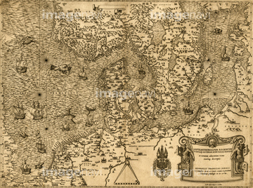
‚±‚جŒںچُŒ‹‰ت‚ة‚حپAAsia - 1570پAEarth - 1531 - world map 1531پABretaigne - 1594 - Brittany CoastپAAsia Secunda 1580پAAfrica Tertia Pars Terrae 1580پACosmographia Universalis 1580‚ب‚ا‚ھٹـ‚ـ‚ê‚ؤ‚¢‚ـ‚·پB

51436416
51436562
51437118
51437253

51425502
51491058
53118927
51489953
51435779
51435882

51435744
51436078
51436171
51436231
51436232
51436234
51436235
51436236
51436237
51436241
51436285
51436307
51436309

51436390
51436399

51405927

51405928

51405929


51405945

51410020

51436696

64055073

64055074

64055075


64052693


64052698

64055079
64055080
51436588
51430897
51436011

51435748
51436239
51436242
51436689

51437232
51437259
51426600

51426610


51430892
51430906
51410018
51436296

51436174
51903316

51946157
51949824

51497240
53131295
53123895
51902155

51426903
51435701

53140204
53140226
53135577
51436327
51435641

51435662
51435704
51436027
51436128

51437233

51437245

51437251
51437241

51421919
64083036
51436049

51421917
51499620
64082612
64082709
64082733
64082734
64082736
64082743
64083012
64083357
64083358
64083359
64083414
64083429
51901342

51939991
64083505
51436233
51436238

51436240

51422878
51436425
51437154


51962929
51958426
64082619

64052655

64052691

64052692

64055076

64055077

64055078

64055081

64055082

64055083
| ژںƒyپ[ƒW |
