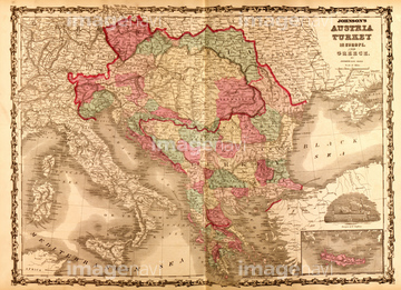
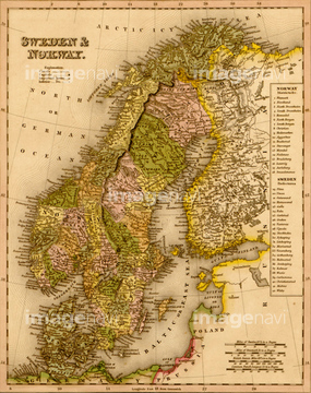
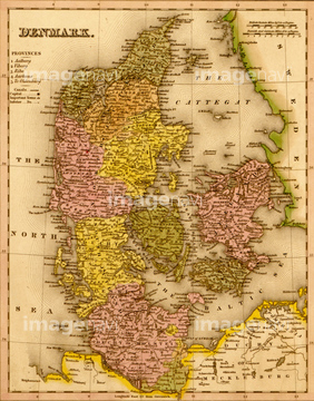
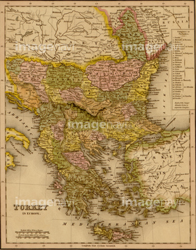
HOME > ژتگ^ > ڈو‚蕨پEŒً’ت > Œً’تƒCƒپپ[ƒW > ’nگ}
10,000Œڈ‚جژتگ^‘fچق‚ھŒںچُ‚³‚ê‚ـ‚µ‚½پB
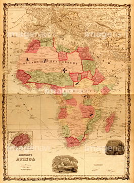
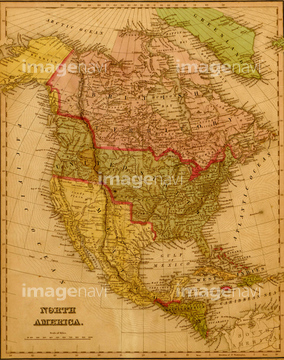
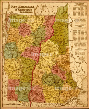
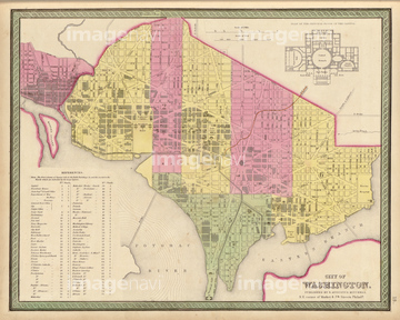
‚±‚جŒںچُŒ‹‰ت‚ة‚حپACote D'Or 1850پAEure-et-Loir 1850پAGironde 1850پADeux-Sevre 1850پAMartinique 1850پASweden & Norway - 1844‚ب‚ا‚ھٹـ‚ـ‚ê‚ؤ‚¢‚ـ‚·پB
51436337
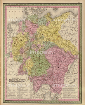
51435892
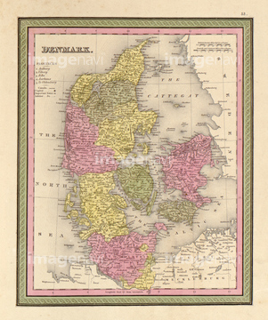
51436334
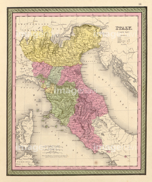
51436335
51436336
51436340

51436339
51436342
51436346
51436348
51436345
51436341

51436349
51436347
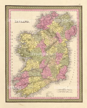
51436333
51436343
51436344
51436350
51436355
51436358
51436338
51436328


51436420
51436352
51436332

51436419
51435889
51435890
51435891

51435894
51435895
51435827

51436351
51436357
51435764
51435828

51414357
51436326
51436331
51436353
51436359
51435900
51436288
51435835
51435840

51414341

51414342

51414345

51414346

51414352

51414362
51435896
51435897
51435903
51435907
51435912

51435752
51435830
51435833
51436356
51436507

51414338

51414339

51414340

51414343

51414344

51414347

51414348

51414349

51414350

51414351

51414353

51414354

51414355

51414356

51414358

51414359

51414360

51414361

51414421

51414422

51414423

51414424

51414425

51414426

51414427

51414428

51414429

51414430

51414431

51414432

51414433

51414434

51414435

51414436

51414437

51414438

51414439

51414440

51414441

51414442


51436399


51435778

51435888
51435893
51435905
51436208

51436216

51436223


51435826
51435831
51435859
51435867
51435870

51435872

51435873
51435879
51435883
51435885
51435909
51435911
51436001
51436059
51436073
51436081
51436083
51436084
51436085
51436088
51436089
51436097
51436101
51436103
51436104
51436109
51436110
51436159
51436320
51436322
51436330
51436374
51436642

51436651

51422778
51435804
51435805
51435809
51435811
51435814
51435825

51435838
51435845
51435847
51435852
51436418
51436283
51436295
51436797
51435753
51435754
51435755
51435761
51436284
51436289
51436354
51435742


51436696

51435725


51435781
51435901

51436292
51436425
| ژںƒyپ[ƒW |
