HOME > ژتگ^ > ڈو‚蕨پEŒً’ت > Œً’تƒCƒپپ[ƒW > ’nگ}
10,000Œڈ‚جژتگ^‘fچق‚ھŒںچُ‚³‚ê‚ـ‚µ‚½پB
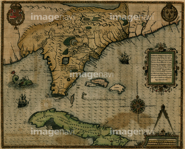
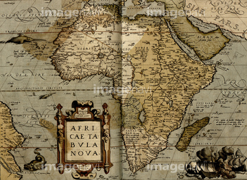
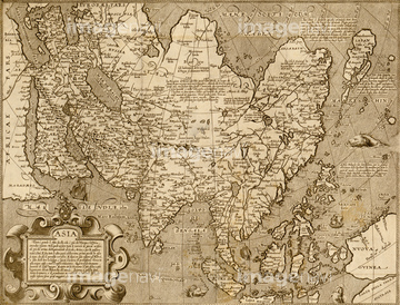
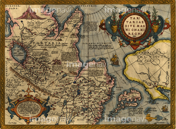
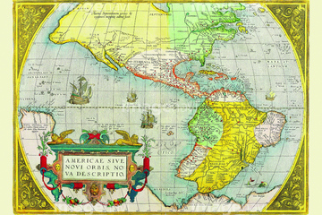
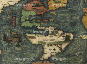
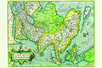
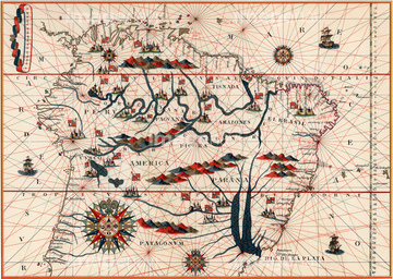
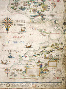
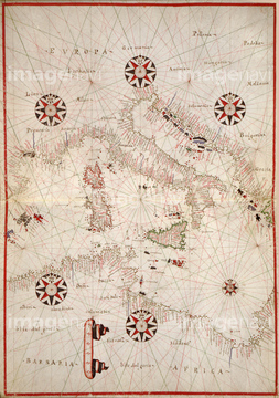
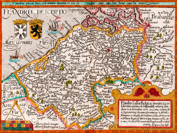
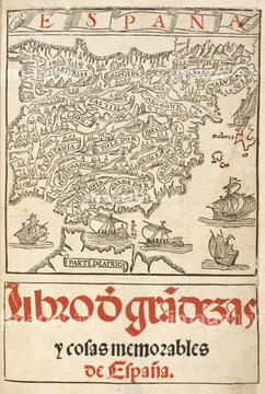
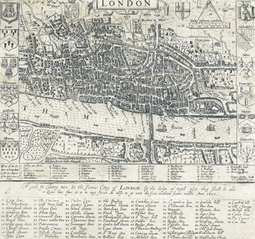
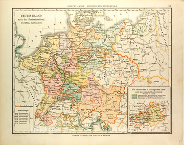
‚±‚جŒںچُŒ‹‰ت‚ة‚حپAPortolan Chart of the Mediteranean & Connecting SeپcپAThe Americas 1579پANew World Islands - 1550پAAsia 1570پAAmazon and the River PlateپAMap of Brazil‚ب‚ا‚ھٹـ‚ـ‚ê‚ؤ‚¢‚ـ‚·پB
51436399
51436285
51436231
51436232
51436234
51436235
51436236
51436237

51405927

51405928

51405929


51405945

51410020

51436078
51436171
51436307
51436309

51436416


64055079
51436242

51435744
51436241

51436390
51436239

51430892
51430906
51410018
64055080


51499620
51437232
51436689
51437259
51426600

51426610


64052693

64052698
51435892
51436337
64082660
64082727

64083012
64083429
51437253
51435835
51435840
51435900

51436287
51436288

51436290
51436291
51436345
51436397
51425502
64083426
51436238

51436240

51435553


51435725
51435764
51435828

51435917


51435921


51436027


51436507

51436696

51437213

51414337

51414338

51414339

51414340

51414343

51414344

51414347

51414348

51414349

51414350

51414351

51414353

51414354

51414355

51414356

51414357

51414358

51414359

51414360

51414361

51414421

51414422

51414423

51414424

51414425

51414426

51414427

51414428

51414429

51414430

51414431

51414432

51414433

51414434

51414435

51414436

51414437

51414438

51414439

51414440

51414441

51414442
51422969
51489955
51472415
64082698
64082747
64083036
64083402
64083437
64083468
51436233

64082733
51435827
51435889
51435890
51435891

51435894
51435895
51436284
51436289
51436334
51436335
51436336

51436339
51436340

64055083
51435826
51435831
51435836
51435888
51435893
51435905

51436112

51436182

51436208
51436211
51436213
51436215

51436216
51436218
51436219
| ژںƒyپ[ƒW |
