HOME > 写真 > 人物 > ビジネス > 学者・研究者
10,000件の写真素材が検索されました。
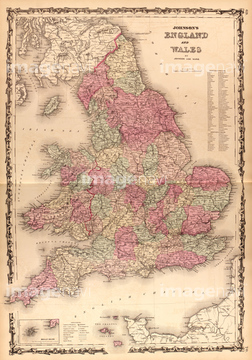
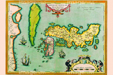
この検索結果には、Ribero's world map, 1529、World - 1568 1560、Eastern hemisphere, 1786、Ptolemy's world map, 16th century、The Hereford Mappa Mundi of 1280.、Captain James Cook.などが含まれています。
51436416
51489953

64055073

51435748

51436696

53131295

51902155

51946157
51497240
51903316
51493136

51435744
53123895

51426610

51436390

64055075


51493143

51952779
51437232
51437259

64055079
51436241

64055074

64052698
51493137
51491058
51436285
51436399

64052693
64116814
53108834

51430892
51493160
53104416
51430893

64083402
51901342


51405927

51405928

51405929


51405945

51410020
51436078
51436171
51436231
51436232
51436234
51436235
51436236
51436237
51436307
51436309
51949824
53131811
53124886

51435746
51489955
64083460
51436689
51459657
51430906
51493144
51422391
51493155
51902219
51905368
51904035
64083414

51437221
51435889
51436334
51435827
51966209
51966210

51960087
51499620
51437241
51914598
51903953
64055080
51490097
64082660
51956643
64082662
64082698
64082747
64082750
64083468
64083437


64055076

64055082
51422966
51435743

51437242
53118368
64083431

51436380

51436381
51436382
51436387

51435745
51435846

64052691
51936583
51410018
51436239
51436242
51425502
51426600
51902044

51437213
51938834
64082619
51902037
51904927
51903243
51951666
51436284
51958426
64082733
51435890
51436335

64082736

51421923
64083429
51962929
64082620
64082668
51493164

51421922
51493608
11830110
| 次ページ |
