HOME > ژتگ^ > ڈو‚蕨پEŒً’ت > Œً’تƒCƒپپ[ƒW > ’nگ}
10,000Œڈ‚جژتگ^‘fچق‚ھŒںچُ‚³‚ê‚ـ‚µ‚½پB
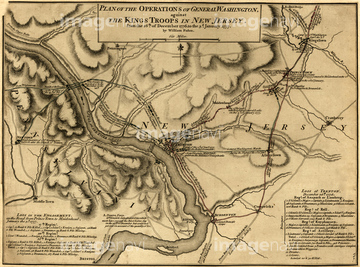
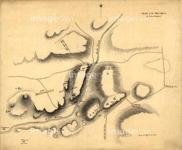
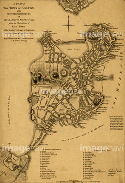
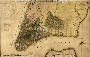
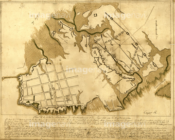
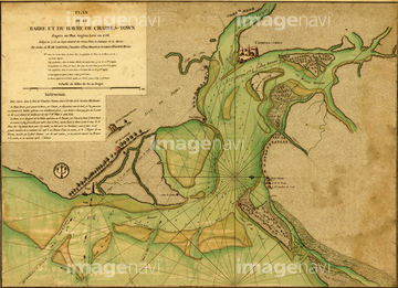
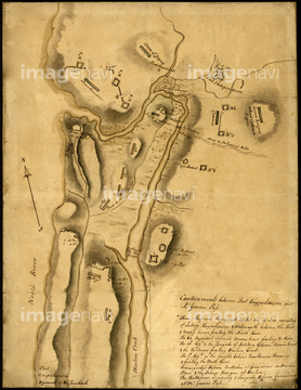
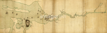
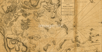
‚±‚جŒںچُŒ‹‰ت‚ة‚حپABritish Colonies in the Southern US - 1776پABattle of Trenton - 1776پAWhite Plains - 1776پABoston in 1775پAPlan of the City of New York - 1789پARichmond Defensive fort on Staten Island - 1779‚ب‚ا‚ھٹـ‚ـ‚ê‚ؤ‚¢‚ـ‚·پB
51437110
51437075
51437076
51437078
51437079
51437096
51436887
51437063

51437064
51437069
51437102
51437084
51437082

53121502
51436874

51436875
51436884
51436885
51436886
51436899
51436902
51436904
51436906
51436908

51436911
51436912
51436913
51437077
51437090
51437120
51437137
51437141
51437142
51437153
51436876
51437087
51437099
51437089

51436696
51436041

64055073

64055075

51435748
51435567
51436894
51437081
51436033
51436421
51436425
51436429
51436464
51436468
51436471
51436485
51436500
51436503
51436507
51436542
51436543
51436577
51436869

51436891
51436895

51436910
51437118
51437121
51437122

64055074
51436478
51903243
51904927
51902044
51436416
51483289
51990862
51437154
51436547
51491058
| ژںƒyپ[ƒW |
