HOME > ژتگ^ > ڈو‚蕨پEŒً’ت > Œً’تƒCƒپپ[ƒW > ’nگ}
10,000Œڈ‚جژتگ^‘fچق‚ھŒںچُ‚³‚ê‚ـ‚µ‚½پB
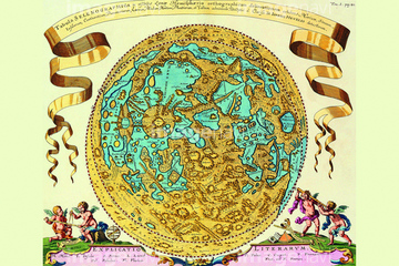
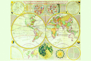
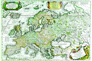
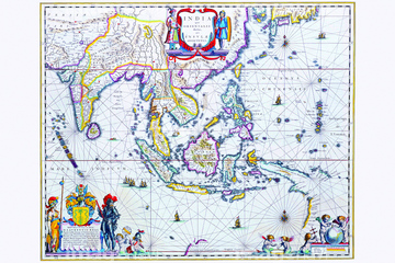
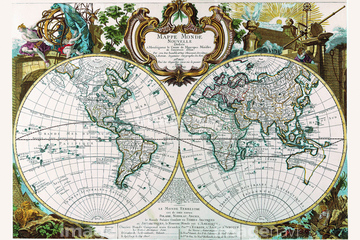
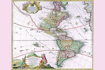
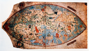
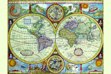
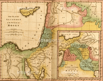
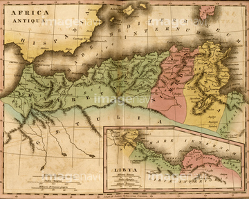
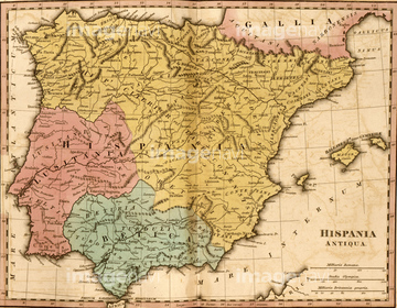
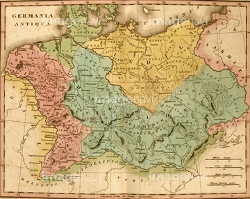
‚±‚جŒںچُŒ‹‰ت‚ة‚حپAMap of Australia and New ZealandپAMappe Monde Nouvelle 1744پAThe Americas - The Western Hemisphere 1746پA18th century map of JamaicaپAMap of Peking Province, 16th centuryپAPtolemy's map of Britain, 16th century‚ب‚ا‚ھٹـ‚ـ‚ê‚ؤ‚¢‚ـ‚·پB
51437206

51437240


64052698

64052692

51421591

51422156

51424030

51424032
51437257

64083449

64083504
51435946
51435950
51435955


51422887

51422942

51422943

51422944


51436058

51436064

51436261


51436264

51436265


51436268


51436271


51436273


51436278


51436280
51436281

51436294

64052702

51421621
51437217

64052655

64052693


64045852
64083494
64083496
51435948
51435949
51435954


51421877

51421879

51421880

51421882

51421883

51421884

51421885

51421888

51421889

51421890

51421891
51421892

51421894

51421895

51421896

51421897

51421898

51421899

51421900

51421901

51421902

51421904

51421905

51421906

51421907
51421908


51421916

51421917

51421919

51421920

51421921

51421922

51421923


51422839

51422840

51422841

51422842

51422843
51422878
51422888
51436070
51436274

51424033
51435569
51437220

64052691
64052700
64052701

64055076

64055077

64055081

64055082

64055083


51459589


53132940

53133038


64083420


51437221
51437233

51437237

51437238

51437242

51437245

51437246

51437247

51437251


51435947
51435951
51435952
51435953
64043174
64042641

51410014

51410015

51410019

51405941

51405946

51436074

51436111

51436112

51436129

51436130

51436153


51436158

51436166

51436182


| ژںƒyپ[ƒW |
