HOME > ژتگ^ > ڈو‚蕨پEŒً’ت > Œً’تƒCƒپپ[ƒW > ’nگ}
10,000Œڈ‚جژتگ^‘fچق‚ھŒںچُ‚³‚ê‚ـ‚µ‚½پB
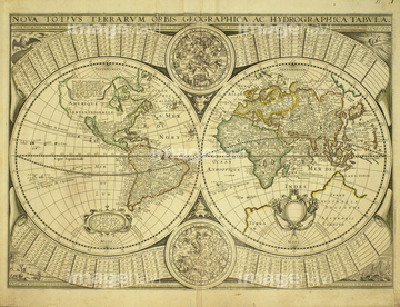
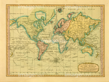
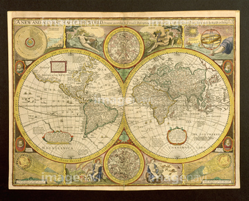
‚±‚جŒںچُŒ‹‰ت‚ة‚حپAŒأ’nگ}پAƒAƒ“ƒeƒBپ[ƒN‚جگ¢ٹE’nگ}پAŒأ’nگ}پ@“Œ“ىƒAƒWƒAپAŒأ‚¢گ¢ٹE’nگ}پADionysius in the world traveled by the Greeks 163پcپAPortuguese map of Fortified Cities on the Coast ofپc‚ب‚ا‚ھٹـ‚ـ‚ê‚ؤ‚¢‚ـ‚·پB


64055082

64055076


51436380
51437218
51437220


51437221

64055079


51436129

64052702

64055073

64052698

51437237

51435746

64055077

64052692

64055074

64055075


51436315

51436319

10307361

51430900

64052691
40583492
40583494
40557042
40557044
40560936
40560937
40560983
40560984
40560986
40560987
40561442
40561445


64083427


10307301

10307320

10307331

10307332

10307334

10307335

10307344

10307345

10307348

10307349

10307351

10307357

10307362
51435749

10307322

51435928

51435740


51435925
40560935
40560985

64055081
51430890

64055083

51435939

51435921

51435937

51411448

51411513


51436182

51411465

51410014

51411449

51411504

51411511


30047317


10307341

10307350

10307352

10307353

51436381

51435745


51437233

51437238

51437242

51437245

51437246

51437247

51437251

51436390


51435917
64082631
64082632
64082639
64082665
64082667
64082662

51411444

10307315
10307316
10307317

10307323
10307330

10307356

10307360

40544551

70125589
51495010

51435929

51435931

51435938

51435744

51411456

51411445

51411446

51411447

51411453

51411454

51411455

51411466

51411467

51411469

51411470

51411503

51411516

51435535

51435723

51435730


51411457

51411459

51411468

51411505

51411506

51411508

51411509

51411523

51411524

51435724

51435725

51435731

51435735


51435924

51411452


51411461

51411462

51411464

51411502

51411512


51411517

51411518

51411519

51411520

51436143


19283091
19283231
19283234


10307308

51405941

51405946

51410015

51410019
| ژںƒyپ[ƒW |
