HOME > ژتگ^ > ڈو‚蕨پEŒً’ت > Œً’تƒCƒپپ[ƒW > ’nگ}
10,000Œڈ‚جژتگ^‘fچق‚ھŒںچُ‚³‚ê‚ـ‚µ‚½پB
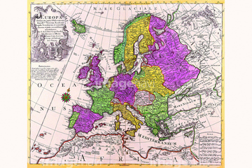
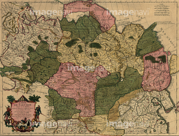
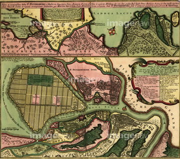
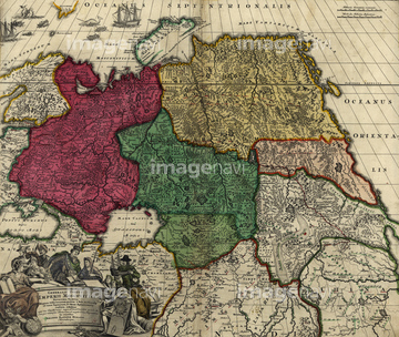
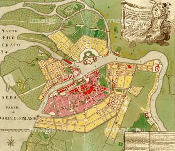
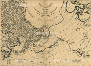
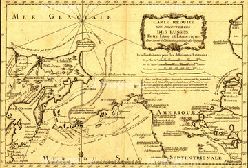
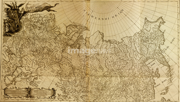
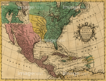
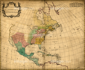
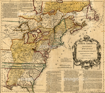
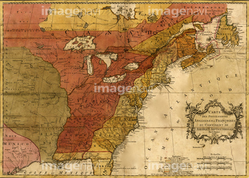
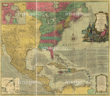
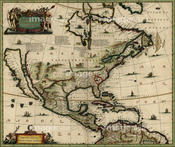
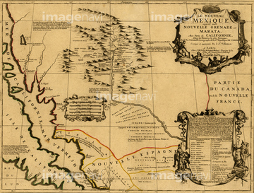
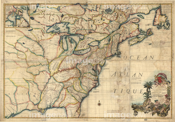
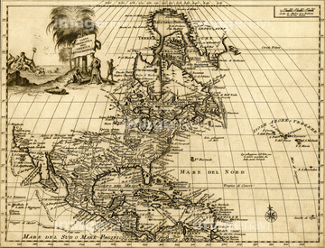
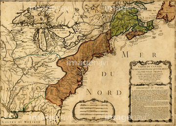
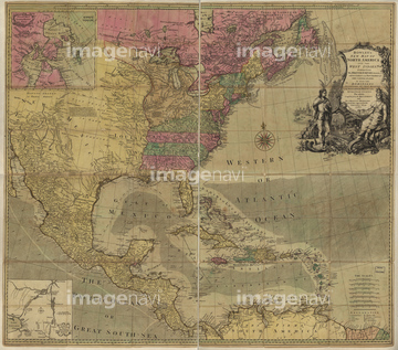
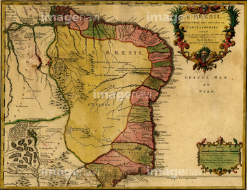
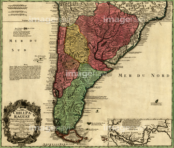
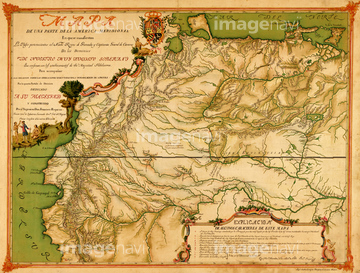
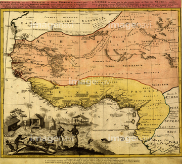
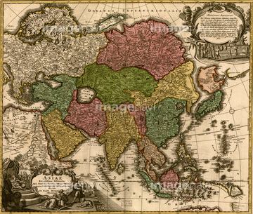
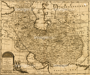
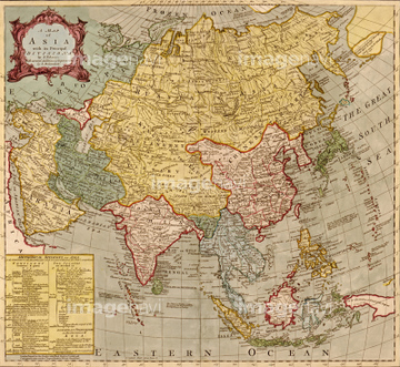
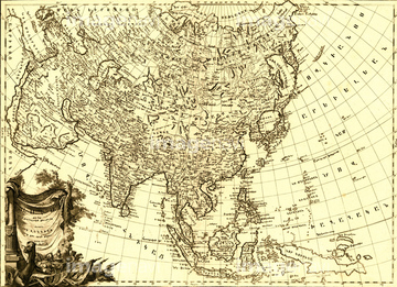
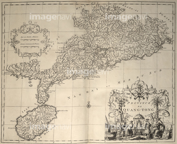
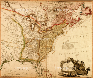
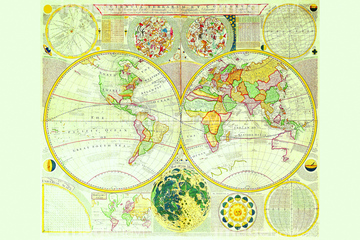
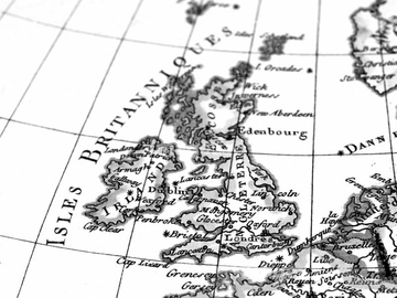
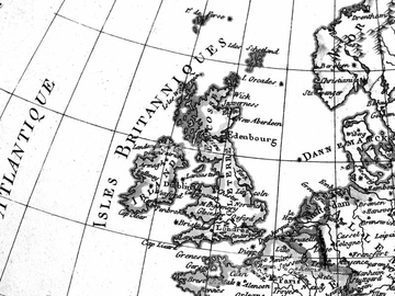
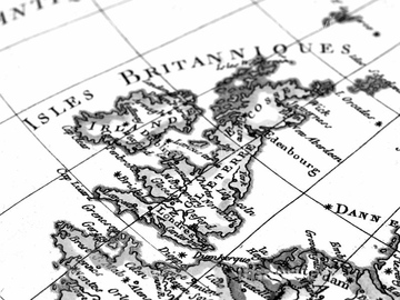
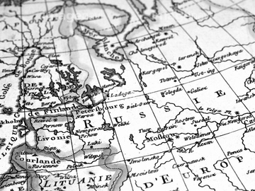
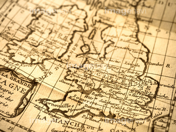
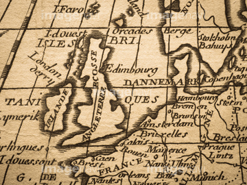
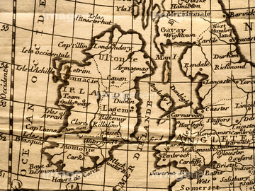
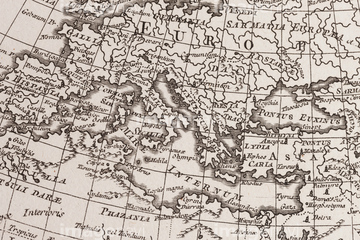
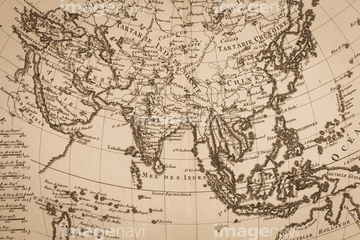
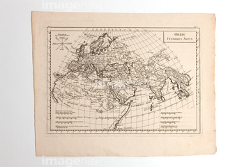
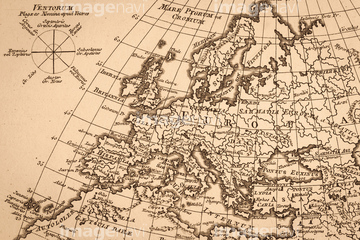
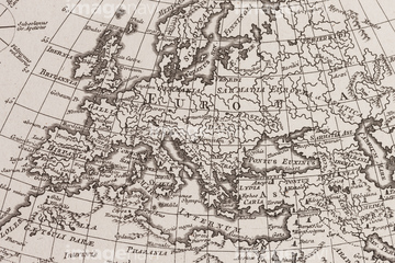
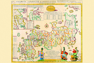
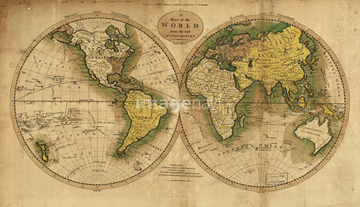
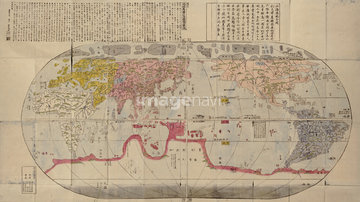
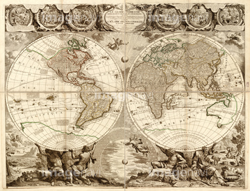
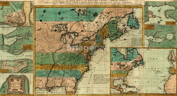
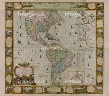
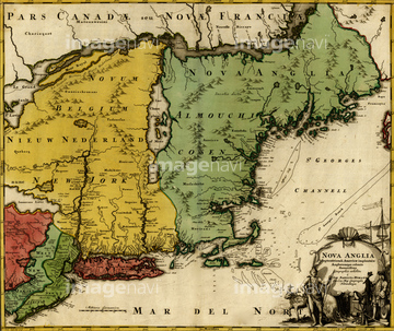
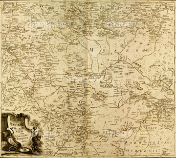
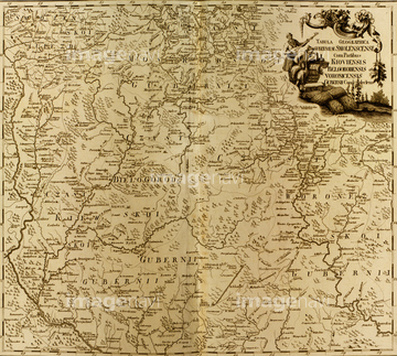
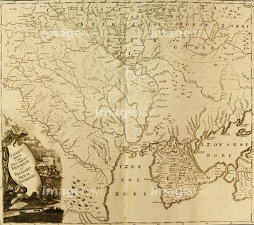
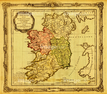
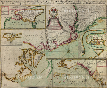
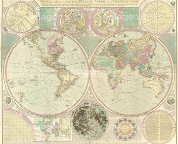
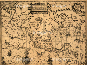
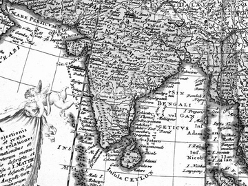
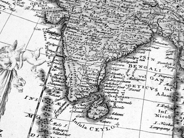
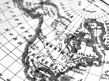
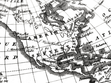
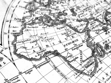
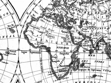
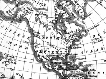
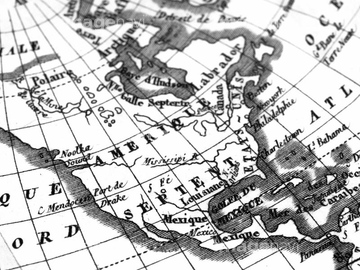
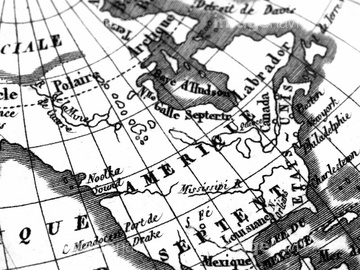
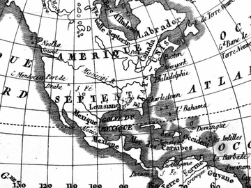
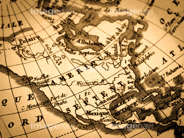
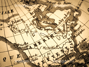
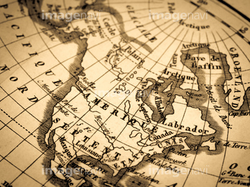
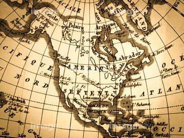
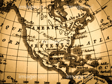
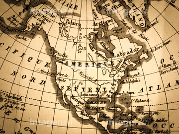
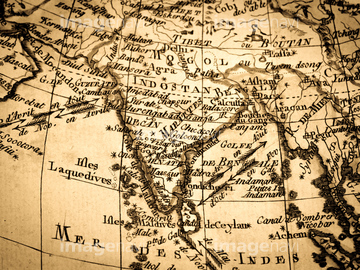
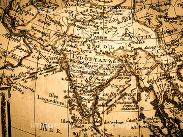
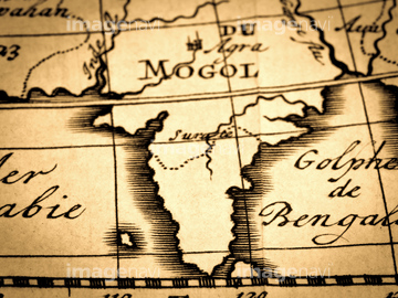
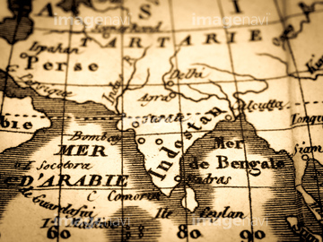
‚±‚جŒںچُŒ‹‰ت‚ة‚حپAƒAƒ“ƒeƒBپ[ƒN‚جگ¢ٹE’nگ}پACanada to Louisiana, Eastern USA - 1756پABritish Doinions in Norther America from New FoundپcپABritish Empire in North America - 1783پAEighteenth Century Map of the United States - 1784پABrazil - 1719‚ب‚ا‚ھٹـ‚ـ‚ê‚ؤ‚¢‚ـ‚·پB
51437236

40544551

51437213

64052655

64055078


51436213
51436215
51436218
51436219
51436221
51436222
51436244
51436247
51436250
51436252
51436291
51436397
51436400
51436403
51436405

51405937


51405944
51435529
51435538
51437249

64055074

64055075

64055073

51435752
51436284
51436289
51435521
51435999
51436003
51436005
51436007
51436008
51436011
51436022
51436032
51436036


51436060
51436062
51436075
51436076
51436077
51436114
51436115
51436152
51436170
51436310
51436313
51436316
51436323
51436324


64055079

64055083

51437237

51437238
41421458
41421459
41421460
41421470
41421685
41421686
41421687
41421688

41421698
41421737
41421852
41455218
41455220
41455221
41455230
41455244

41088261

40533712
40533713
40533722
40533723
40533725
41102765
41102766
41102767
40534578
40534579
40534582
40534583

64052691
51435545
51436314
51436321

51435745

51436381
51436382
51436387
51436392
51435553
51435567
51436027
51436224
51436225
51436245
51436248
51436251
51436402
51436413
51436698
51430902

64052692

64055077
64055080

64055081

70102713

30047320

30047323
41421736
41455219
41455231
40533717
40533718
40533721

40533726

40533727
40533728
41421497
41421498
41421499
41421500
41421501
41421502
41421503
41421504
41421506
41421507
41421530
41421602
41421603
41421607
41421608
41421623
41421624
41421625
41421626
41421803
41421804
41421805

41421806
41421807
41421808
41421811
41421817
41421819


41421824

41421825
41421826
41421827
41421828
41421829
41421830
41421831
41421832

41421833
41421851
41455214
41455224
| ژںƒyپ[ƒW |
