HOME > 写真 > 人物 > ビジネス > 学者・研究者
10,000件の写真素材が検索されました。
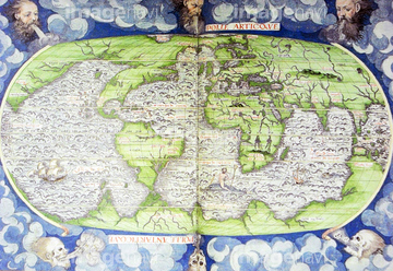
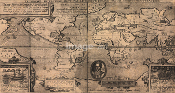
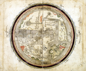
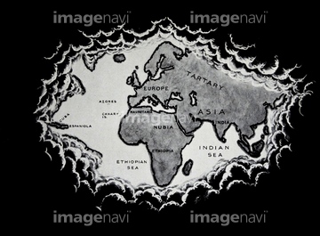
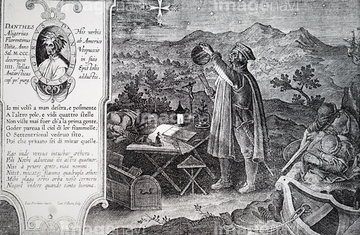
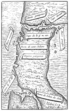
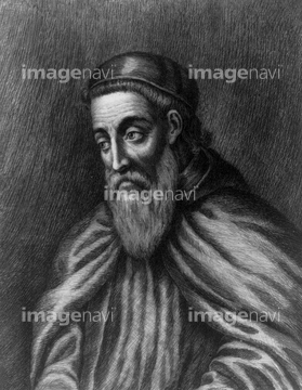
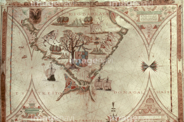
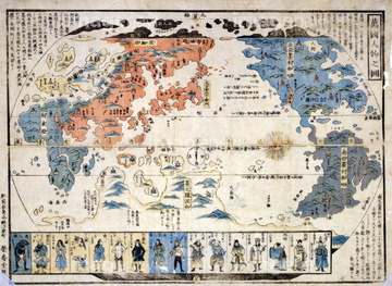
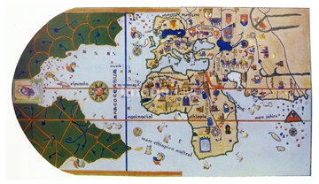
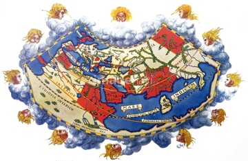
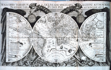
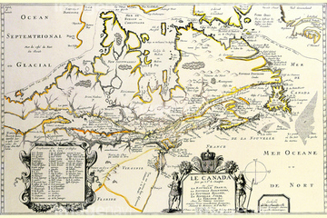
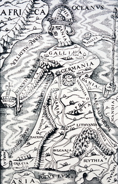
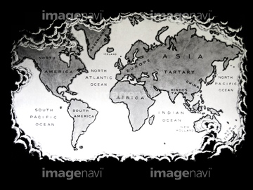
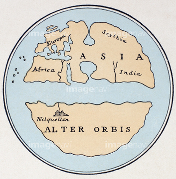
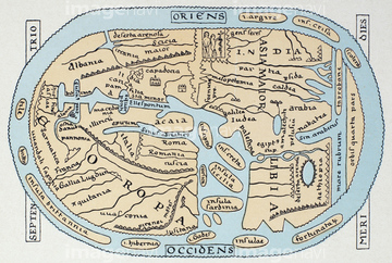
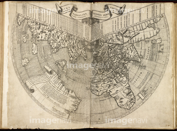
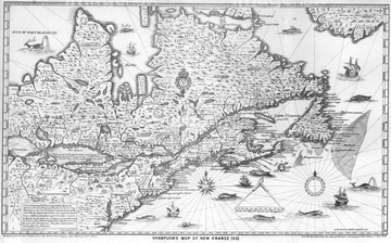
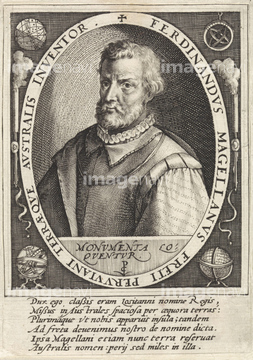
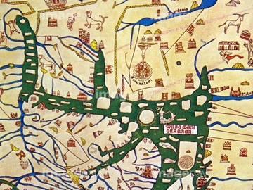
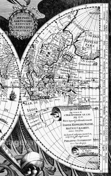
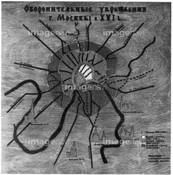
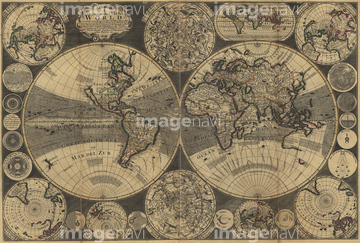
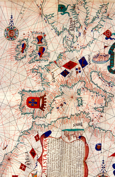
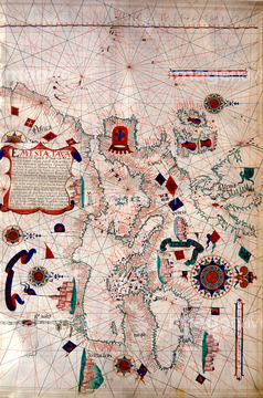
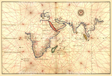
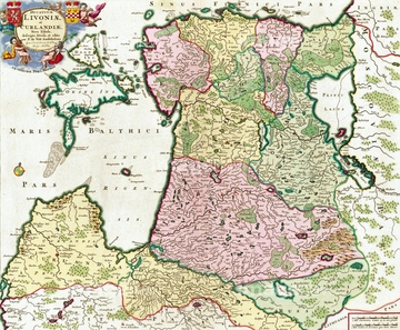
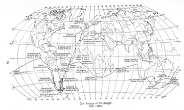
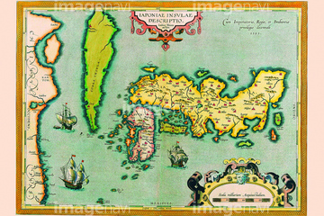
この検索結果には、Map of the world.、Map of the Ancient World、WORLD MAP, c1486-93.、16th Century Map of London.、South America, 16th century map、Northern hemisphere map, 16th Centuryなどが含まれています。
51489953
51436416
51904035
51905368
51902843

53131295
51936583
51903316

51946157
51497240
51902155
51494860

51435748
53123895
51493143

64055073
51493164
51938834

51436696

64052698

64116814
51495010

64052693
51491058
51907059
51493160
51472415
53107612
51902219
51906172
51901342
51493144
51487433
64083414
51905470
51489955
64044503


51949824

53118778
51493155
51904111
51906159
51902260
51901286
51459657

51426610

51435744

51436390
64083431
53118368
51906166
51437232
51903953
51914598
51966209
51966210
53131811
53124886
53134326
64050949
64050950
64082736
51901374
64083429
51499620
64217395
51491608
64082660

64055075
51909056
51492334
51906155
51906157
64083411
51902044
53100004
51493136
51903243
51904927
51902037
64083402
51437259
64046159
64083458

64082733
51436241
53108834
64082620
64082668

51901369
53142129

51430892
64082734
64082743
64083357
64083358
64083359

64055079
51904056
53118927
51906154
51921367
51941189
51941912
51961613
51965602
51966570
51967913

51960087
53100643
64244597
51493137
51904920
51917145

64055074
51430906
51902987
51902335
64083460
51902209
51941736
51430893
51420429
51422401
64046155
64046156
51492538

51944813
53123899
51903011
53101118
51902325
51902749
51904050
51436078
51436171
51436231
51436232
| 次ページ |
