HOME > 写真 > 人物 > ビジネス > 学者・研究者
10,000件の写真素材が検索されました。
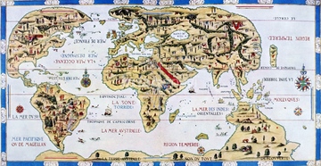
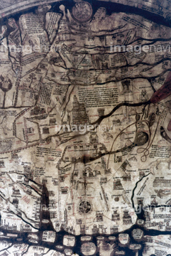
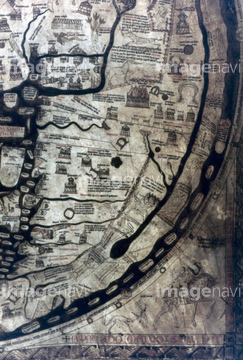
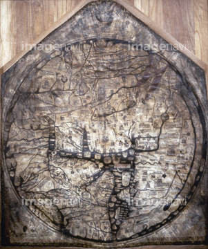
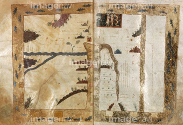
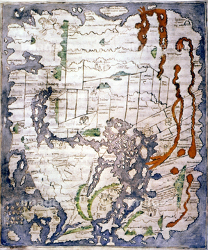
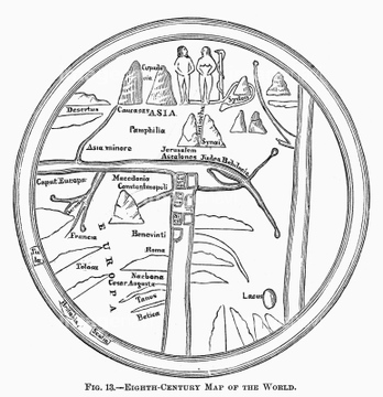
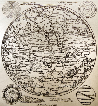
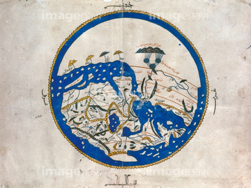
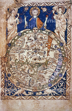
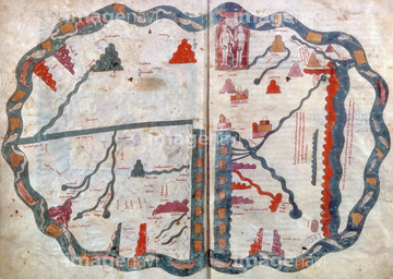
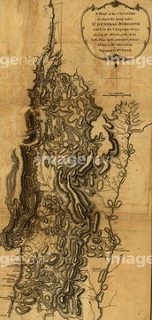
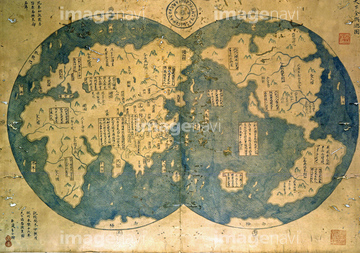
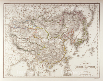
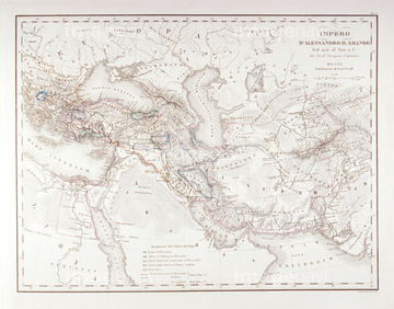
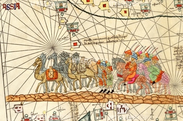
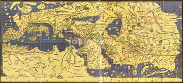
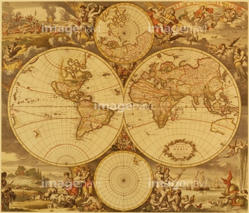
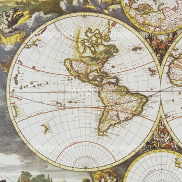
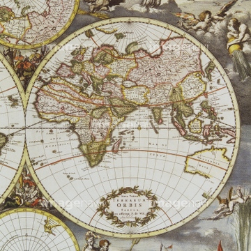
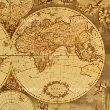
この検索結果には、地図イメージ、AL-IDRISI'S WORLD MAP.、WORLD MAP, 13th CENTURY.、MAP OF THE WORLD, 1220.、Expedition of General Burgoyne - 1777、Expedition of General Burgoyne - 1778などが含まれています。
51493136
51493137
51904056
64082664
51902246
51902250
51933465
51902245
51902247
51902248

64055073
51493144

51435748
51902249

64055075
51493143
51493155
51493160
51902219
51436416

51902153
51902154
64082662
64158359
64116814

64055074

51436696
51909064
51932222
51425641
51903953
51904050
51914598
53131295
53123895
19286467
30047319
51901091
51901092
51902854
51904111
51906159
53107570
51902209
51902260
51902300

30047335
30047338
32440926
51907700
51909257
51932833
51901342
51489953
30047326
17200242
40009571
40009572
40009573
40009574
40009575
40009576
40009577
40009578
19285242

19285243
30036743
30036745
30036748
30047316

10307332

10307334

10307301

10307315
10307316
10307317

10307320

10307323
10307330

10307331

10307335

10307344

10307345

10307348

10307349

10307351

10307356

10307357

10307360

10307361

10307362
12406251

70125589
51903134
30047321
30047337
51493145
51493146
51493157
51493159
51493165
51493173
51493188
51493195
51493205
51493210
51493366
53108676
51903323
70102712
53108834
51903243
51903316
51904035
51904927
51905368

51946157
51497240
51491058
51459657
51420429
51422401
51902037
51902044
51902155
11850079
70102711
51907633

10307333
10307302
10307303
10307305
10307307

10307308
10307309
10307310
10307312
10307313
10307314
10307318
10307319
10307321

10307322
10307324
10307325
10307326
10307327
10307328
10307329
10307336
10307337
10307338
10307339
10307340

10307341
10307342

10307343
10307346
10307347
| 次ページ |
