HOME > 写真 > 人物 > ビジネス > 学者・研究者
10,000件の写真素材が検索されました。
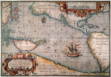
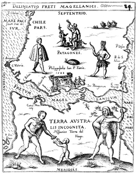
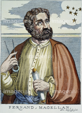
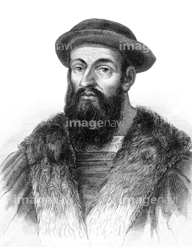
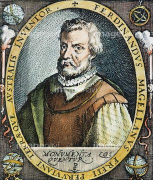
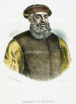
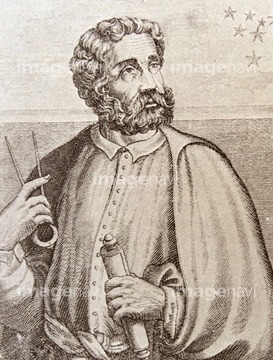
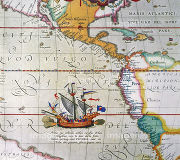
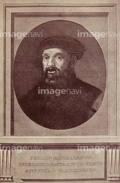
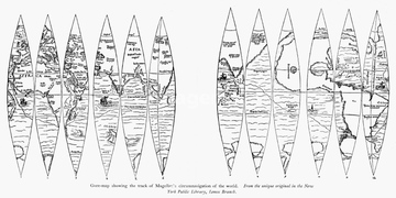
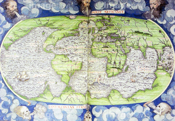
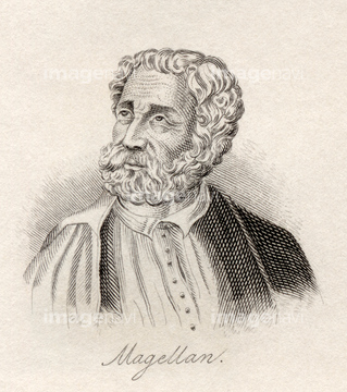
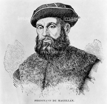
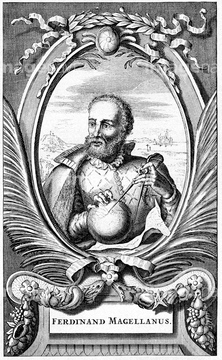
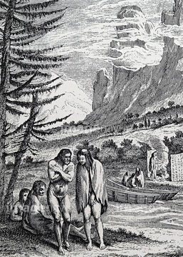
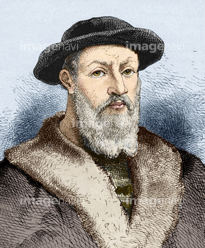
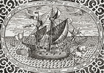
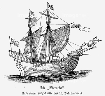
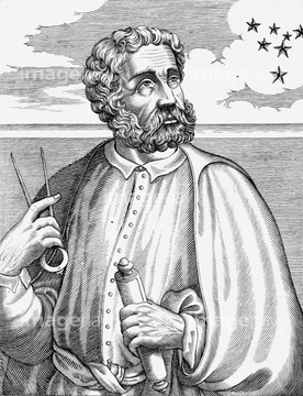
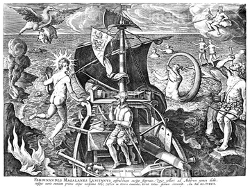
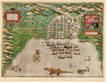
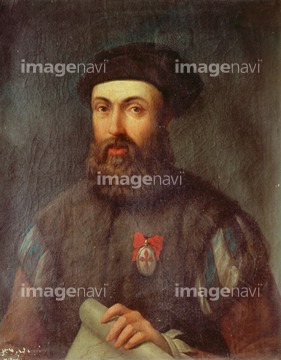
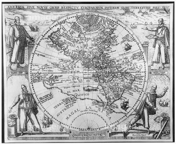
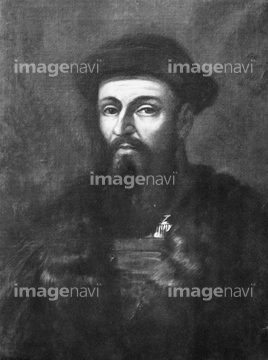
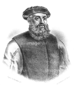
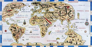
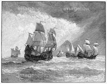
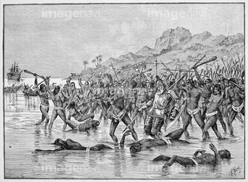
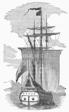
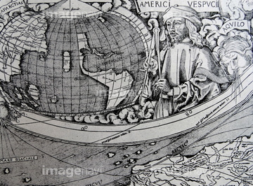
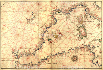
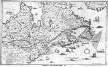
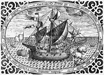
この検索結果には、マゼラン、FERDINAND MAGELLAN、1881 German version of the World Map 1531.、Sir Francis Drakes West Voyage to the West Indies;…、THE LADRONE ISLANDS.、Magellan passing in the Magellan straitなどが含まれています。
51902155
51903316
51961613
51901342
51910069
51961535
51962187
51903317
51966912
51903924
51961536
51965863
53107580
51904044
51902219
51427111
51902037
51436416
51906166
51489953
53131295
51420470
51969663
64116170
51497240
51961729
51962188
51934717
51907700
51962701
51961109
53123895
51961108

51436696
41183575

51946157
51961847
51924445
51966906
51970092
51902220

51435748
51965602
53123899
53100004

64055073

51949824
70283453
51906965
51962138
51962186
53131811
51961628
51491058
51914598
51493143
51930891
51901118
51953752
53121115
64083402
51909424
51437232

51437259

51426610

64082671
64042279
64042280
64042282
64042283
64042284
64042285
53124886
51436234
51436235
51436236
51436237
53123893
64191575
51908323
64116814
51459657
51493155
51493160
51979791
51932507

64055075

51430892
51430906
51903953
51904927
51903243
53108834
64083431
51436242
51436689
51966209
51966210
52103880
51951512
51955884
51966909
51493144
51902976
51904892
51921367

51960087
53118778
64082733
64083012
64083429

51405927

51405928

51405929


51405945

51410020
51499620
51436078
51436171
51436231
51436232
51436285
51436307
51436309
51436399

51904035
51430872
51902044
51931259
51926344
53118927
51425502
51493164
51952199
51961471
51493136

51944813
51904050
51430893

| 次ページ |
