HOME > ژتگ^ > ڈو‚蕨پEŒً’ت > Œً’تƒCƒپپ[ƒW > ’nگ}
10,000Œڈ‚جژتگ^‘fچق‚ھŒںچُ‚³‚ê‚ـ‚µ‚½پB
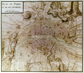
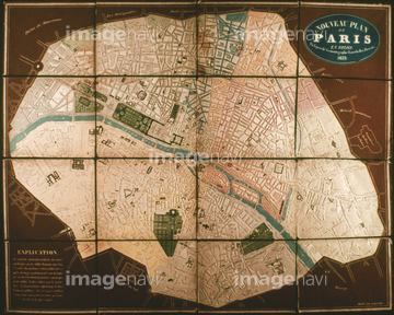
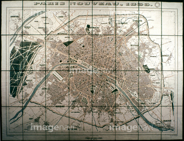
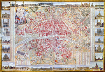
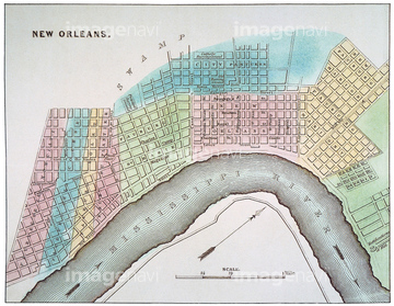
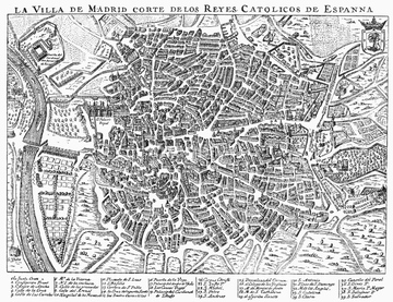
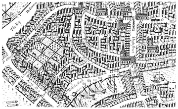
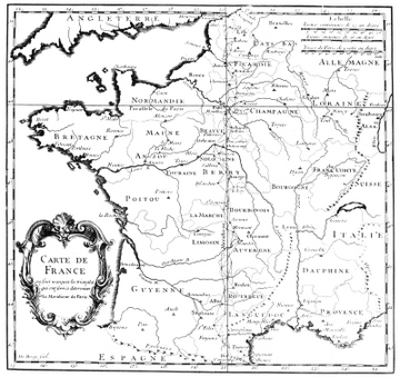
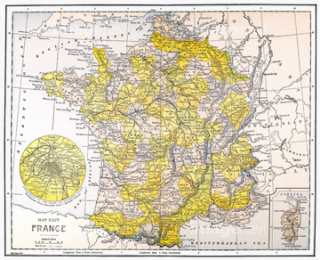
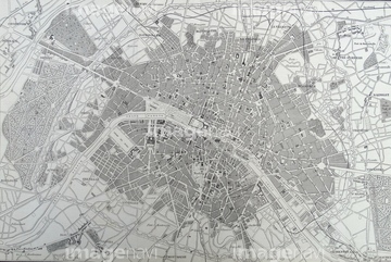
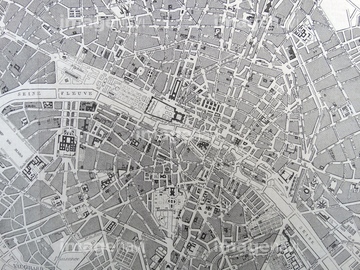
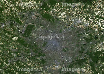
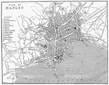
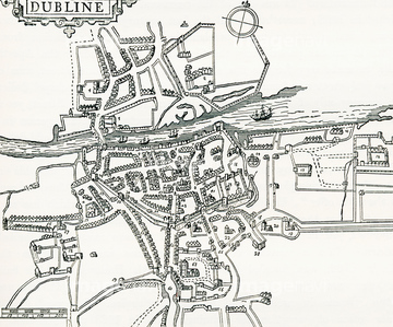
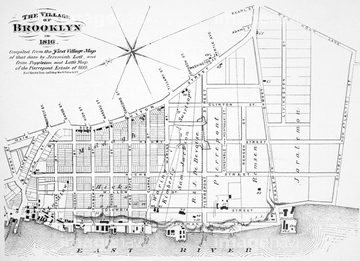
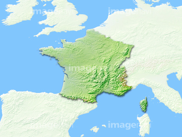
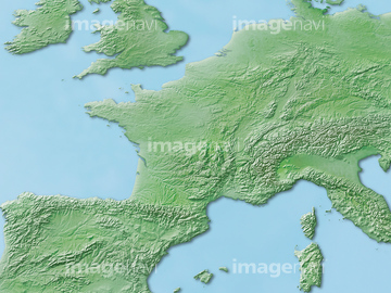
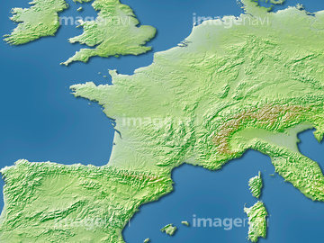
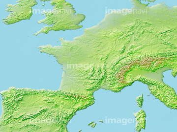
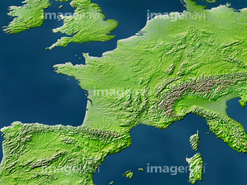
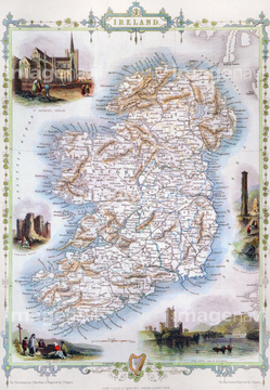
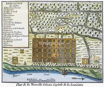
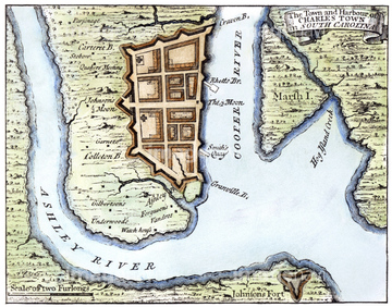
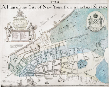
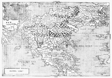
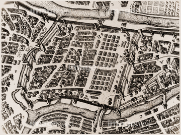
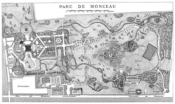
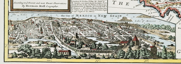
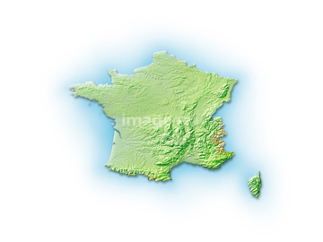
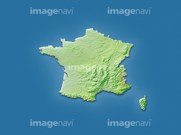
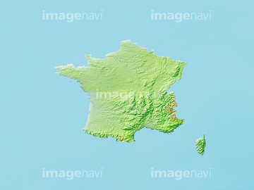
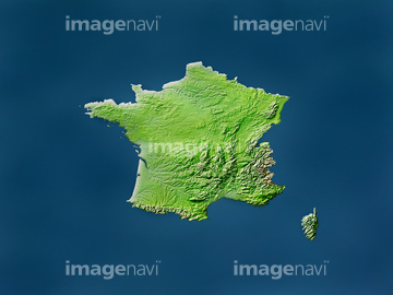
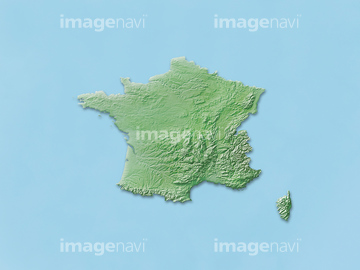
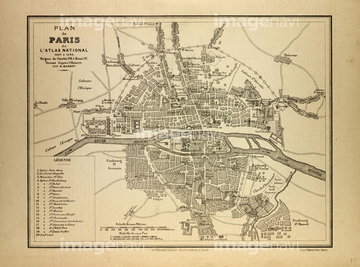
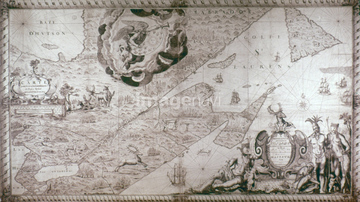
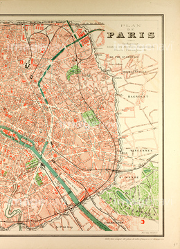
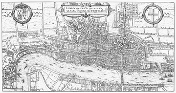
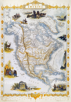
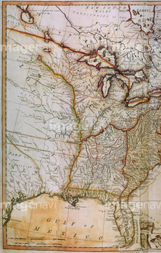
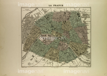
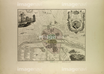
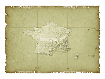
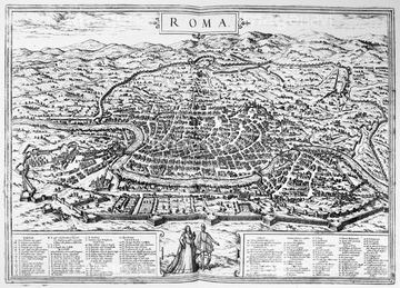
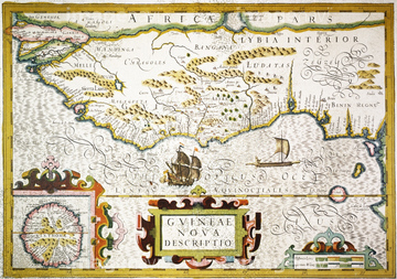
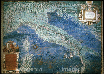
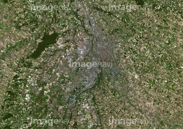
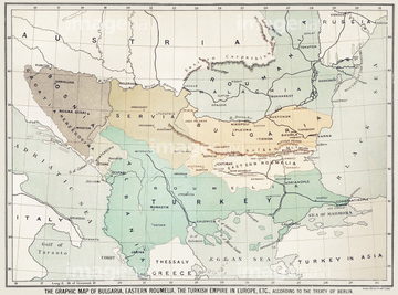
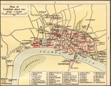
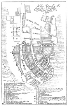
‚±‚جŒںچُŒ‹‰ت‚ة‚حپAƒtƒ‰ƒ“ƒXژü•س’nگ}پAٹXٹp‚ج’nگ}پAƒtƒ‰ƒ“ƒX’nگ}پAMAP OF NEW FRANCE, 1566.پAMOSCOW: KITAI-GOROD MAP.پA16th Century Map of London.‚ب‚ا‚ھٹـ‚ـ‚ê‚ؤ‚¢‚ـ‚·پB
51912791
51912935
51912281
51912611
51912934
51917609
51993845
51912282

51902926
51913044
51912848
51912669
51902585
51913633
51913043

53133038
51906136
51913568
51914480
51459484
51912913
14301195
14301199
10325266
51912549
51917610
14301187
14301188
14301189
14301190
51903213
51912012
51913470
51903478
51903856
51903857
51903418
51911824
51459551
30387758
51912920
51903136

14301196
14301197

14301198
51912480
30038097
51902605
51917615
51917142
51489955
51435598
51435631
51903084
51903476
51903829
51901344
51903362
51903882
51905037
51905038
51906135
51906138
51466529
51466718

51414357
51919955
51912596
51909056
14301191
14301192
14301193
14301194
14301200
51905216
70021795
51914486
51467422
51466667
51912923
51912289
51472446
51472447
51466418
51906140
10918548
51902284
51901551
51902248
51903205
51904282
51904925
51906139
51906153
51913823
51912482
51913826
51901286
51439285
51912290
51904281
51904920
51472448
51472449
51472458
51909059

51414356
51903060
51903421
51467412
51467413

51411444

51411445

51411446

51411447

51411453

51411454

51411455

51411466

51411467

51411469

51411470

51411503

51411516
51901369
51904034
51906134
14301201
14301202
51909017
51901507

51411448

51411457

51411459

51411468

51411505

51411506

51411508

51411509

51411513

51411523

51411524
51902239
51903214
51466557
51466684

51411449

51411452


51411461

51411462

51411464

51411465

51411502

51411504

51411511

51411512


51411517

51411518

51411519

51411520

51904110
51903324

53133051
51912919
51912921

29204734

51435917
51467434
51901285
51912065
51912808
51912959
51912520
30038102
51912481
51489943
51909012
51914333
| ژںƒyپ[ƒW |
