HOME > ژتگ^ > ڈو‚蕨پEŒً’ت > Œً’تƒCƒپپ[ƒW > ’nگ}
10,000Œڈ‚جژتگ^‘fچق‚ھŒںچُ‚³‚ê‚ـ‚µ‚½پB
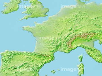
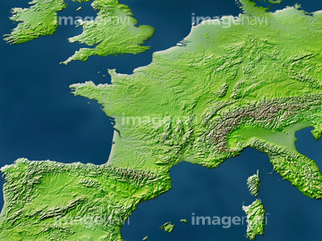
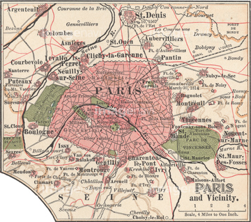
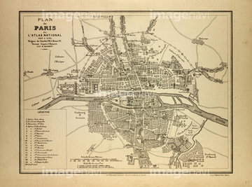
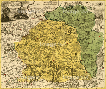
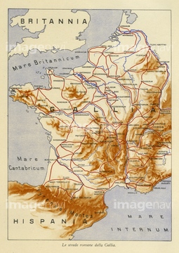
‚±‚جŒںچُŒ‹‰ت‚ة‚حپAٹXٹp‚ج’nگ}پAƒtƒ‰ƒ“ƒXژü•س’nگ}پAƒtƒ‰ƒ“ƒX’nگ}پAMap Of Britain In 634پAMap Of Britain In 640پAMap Of Britain In 658‚ب‚ا‚ھٹـ‚ـ‚ê‚ؤ‚¢‚ـ‚·پB
51919955
51916607
51458700
10325266
51458991
14301195

14301196
14301197

14301198
14301199
14301201
14301202
14301187
14301188
14301189
14301190
30387758

51414356
51912791
51912934
51912935
51914327

29204734

51435917
51917609

53133038

51414357
51458252
51920631
51920842
14301191
14301192
14301193
14301194
14301200
51915790
51472446
51472447
51915467
51458067
51458251
51459484
51912549
51472448
51472449
51472458
51457910
51458068
51458069
51458070
51458071
51458073
51458074
51916608
30100596
51914486

51902926

51437213

51414337

51414338

51414339

51414340

51414343

51414344

51414347

51414348

51414349

51414350

51414351

51414353

51414354

51414355

51414358

51414359

51414360

51414361

51414421

51414422

51414423

51414424

51414425

51414426

51414427

51414428

51414429

51414430

51414431

51414432

51414433

51414434

51414435

51414436

51414437

51414438

51414439

51414440

51414441

51414442
64083378
53112329
53112330
51920712
51912848
51912281
51912282
51912611
51417109
51466667
51436400
51912669
51459551
51459580
51459598
51466418
64083291
51467412
51467413
14301217
14301218
14301212
14301213
10903455
70021795

51414341

51414342

51414345

51414346

51414352

51414362
10918548
14301203
14301204
14301205
14301206
19601647

11853271
11853272
11853273
70110865
53125275
51913113
51917385
51920713
51912803
70254835
70254837
51917610
51916520
51913633
51920737
51914333
51458076


51436399
51902585
64082805

64082836
64082884
64082916
64082928
64082938
64083042
64083067
| ژںƒyپ[ƒW |
