HOME > 写真 > 地図・衛星写真 > 衛星写真 > 典型地形
10,000件の写真素材が検索されました。
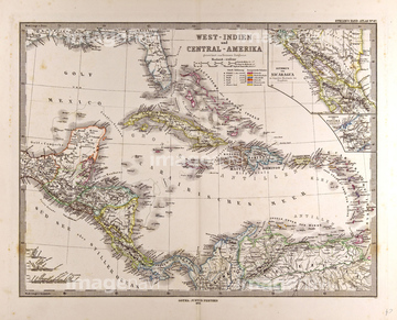
この検索結果には、Map of Great Britain showing the dominions of Will…、Map of the Mongol Dominions, 1300-1405、Map of the World by Henricus Marcellus, 1489、カリブ諸島の地図、Siege of Santo Domingo - 1895、Porto Rico - 1900などが含まれています。


51421919

51421917
51417251
51436327
51451139
52309421
52211053

64052655
51436601
51451137

52304687
51911392

51421621
52309423
51417320
53134545
52309417


51436278

41151715
51436366
51436600
51436049
64083496
52310869


51422839

51422840

51422841

51422842

51422843
53133200
52309412
52309416
51417145
51417148
51417149
51417165
51417285
51417293
64149795
64083146
52311858
51417321

64055083
51417319


51422887

51459589


51436058

51436261


51436264

51436265


51436268


51436271

51436273


51436280
51436281


53132940
64083093
51450931
64125001
51903263
51450800
51466549
64082710
51436055
51436369
51436679

64083420

64083449

64083504
64248562
64248563
51480039
51477497
52300413
51911391
51436053

51417146
51462494
51469897
51472437
51417150
51417154
51417164
51417168
51417175
51417178
51417182
51417184
51417190
51417192
51417194
51417171
64091457
51460235
51904423
64083112
64083150
64083151
53133041
53133050
53133051
53133097
64053495
| 次ページ |
