HOME > ژتگ^ > ڈو‚蕨پEŒً’ت > Œً’تƒCƒپپ[ƒW > ’nگ}
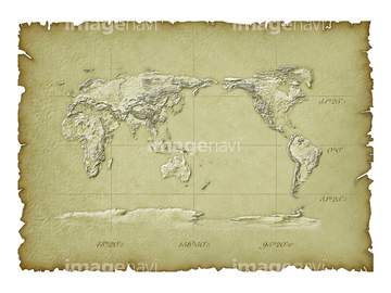
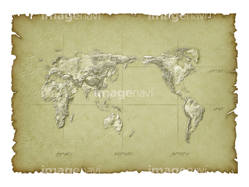
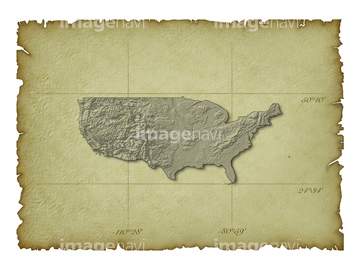
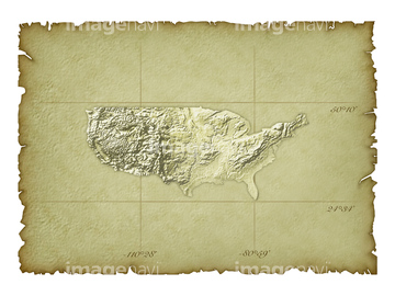
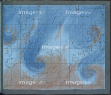
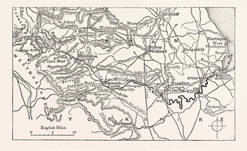
10,000Œڈ‚جژتگ^‘fچق‚ھŒںچُ‚³‚ê‚ـ‚µ‚½پB
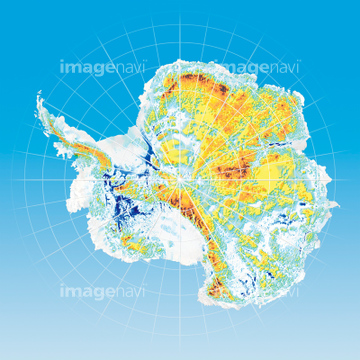
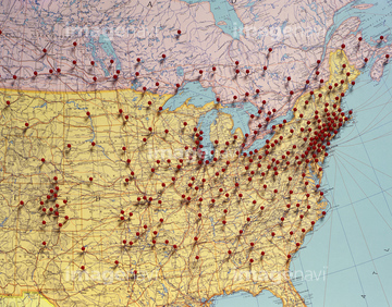
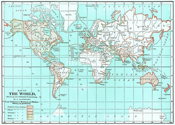
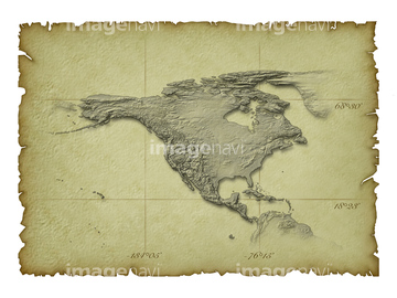
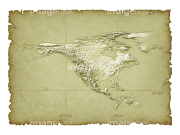
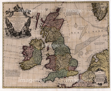
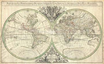
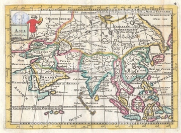
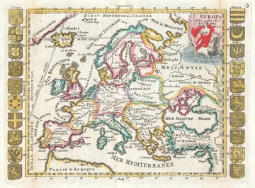
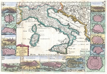
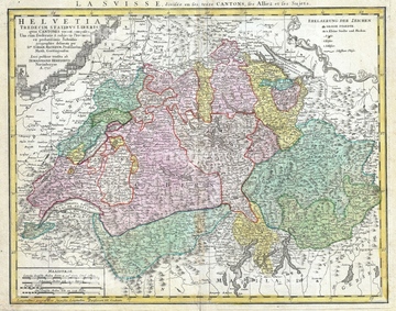
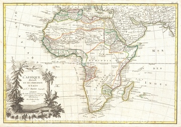
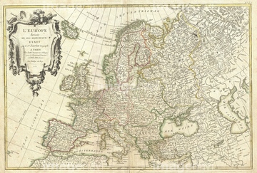
‚±‚جŒںچُŒ‹‰ت‚ة‚حپAƒˆپ[ƒچƒbƒpپA–kƒAƒپƒٹƒJ‘ه—¤پAگ¼“ْ–{’nگ}پA“ْ–{ژü•س’nگ}پAگ¢ٹE’nگ}Œأ’nگ}•—پAƒAƒtƒٹƒJ‘ه—¤‚ب‚ا‚ھٹـ‚ـ‚ê‚ؤ‚¢‚ـ‚·پB
52310906

52310814
52310815
14301142
14301143
64093447
52207749

16922575

29071019

29134109

29134110

29134111
14301098
14301099
64147624
64127059
14300071
14300072
14301272
14301273
14301074
14301075
14301076
14301077

14301087

14301088
64258126
14300223
14300224

14300287
14300288

14300559
14300560
14300671
14300672
14301033
14301034
51452893
14301153

14301154
14301169
14301170
14301131
14301132
14301201
14301202
14301217
14301218

14301255

14301256
14301397
14301398

51417293
14300186
14300188
14300271
14300272
14300303
14300304
14300367
14300368
14300431
14300432
14300495
14300496
14300591
14300592
14300607
14300608
14300623
14300624
14301322
14301323

17200240

17200241
64089910
14301185
14301186
14301357
14301358

14301373
14301374
64089892
64257937
52310869
52310871
53151398
52304687
53151091
53151095
53151096
53151097
53151104
53151105
53151106

53151109
53151110
53151115
53151127
53151129
53151131
53151135
53151137
53151140
53151141
53151142
53151144
53151145
53151146
53151147

53151154
53151158
53151166
53151167
53151168
53151178

53151179
| ژںƒyپ[ƒW |
