HOME > ژتگ^ > ڈو‚蕨پEŒً’ت > Œً’تƒCƒپپ[ƒW > ’nگ}
10,000Œڈ‚جژتگ^‘fچق‚ھŒںچُ‚³‚ê‚ـ‚µ‚½پB
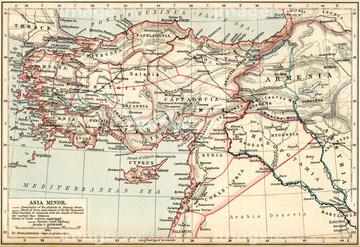
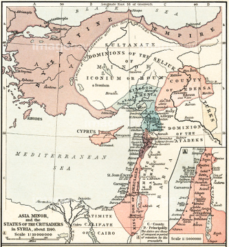
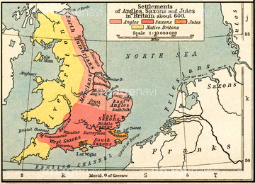
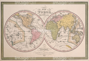
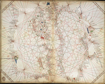
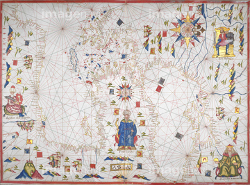
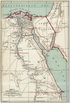
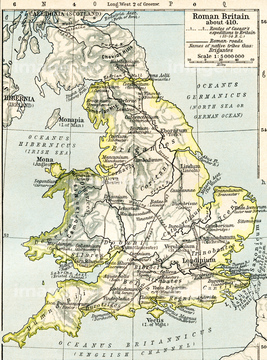
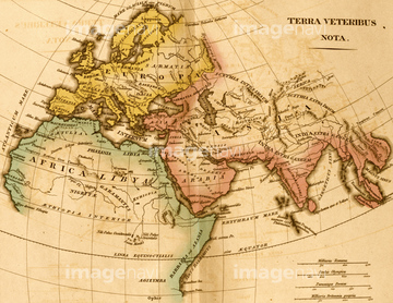
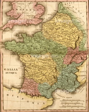
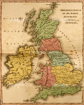
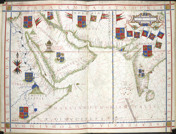
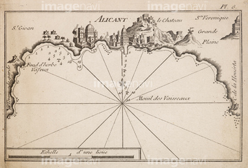
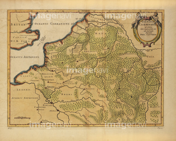
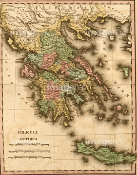
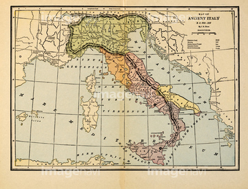
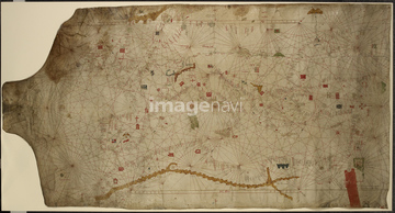
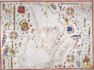
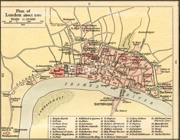
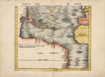
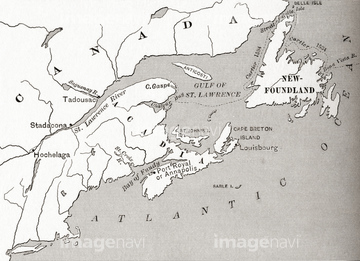
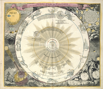
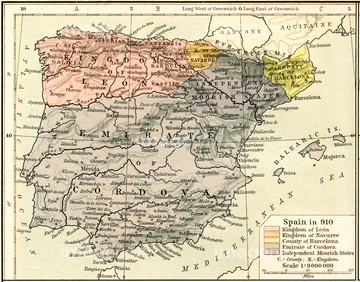
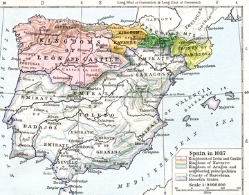
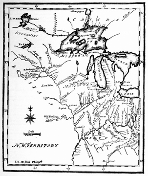
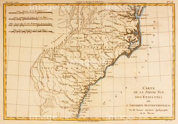
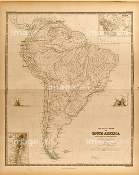
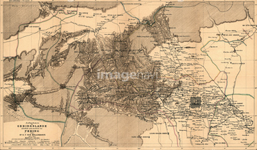
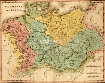
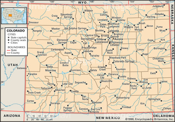
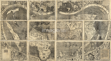
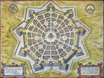
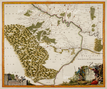
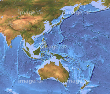
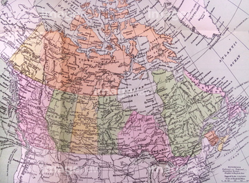
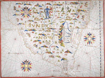
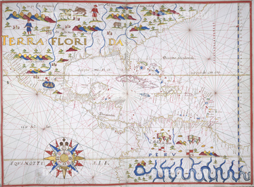
‚±‚جŒںچُŒ‹‰ت‚ة‚حپAMap of East Coast of Canada, 1745پAMap of Terrae Del Evogo ParsپAMap of Guinea Coast, Africa, circa 1700پAMap of England Britannia AntiquaپAMap of France Gallia AntiquaپAMap of Germany Germania Antiqua‚ب‚ا‚ھٹـ‚ـ‚ê‚ؤ‚¢‚ـ‚·پB
53133032

52210909
64082945
64083095

64083449
53134545
51460235

53132940
53133041
51435946
51435950
51435955

53133038
64082688
64083444
64083445
53107312
51435952

52310869
64082673
64083094

51422942

51422943

51422944

51459589


51436278
53133051

51422887

51436264
53134494

64083420

64083504

51422839

51422840

51422841

51422842

51422843
53133097
53133200
64083415


51421591


53133050
64082681
30014856
30014858
52310871

51424030
64083496

51424032

51436058

51436064

51436261


51436265


51436268


51436271

51436273


51436280
51436281
51436294
51435947
51435948
51435949
51435951
51435953
51435954
51913056
51906178
51439337
51439338
51439339
51911481
51912520
64083464
64014735
53106733
64083017
64082678
64082687
64082697
64082707
64082814
64082933
64083009
64083010
64083019
64083024
64083033
64083092
64083093
64083117
64083159
64083160
64083179
30036704
30036720
52215736
51908332
64083035
51450935
51451242
64082954

51421923
64083474
64083475
64083476
64083477

64078708

51421877

51421879

51421880

51421883

51421884

51421885

51421888

51421889

51421890

51421891

51421894

51421895

51421896

51421897

51421898

51421899

51421900

51421901

51421902

51421904

51421905

51421906

51421916

51421921
| ژںƒyپ[ƒW |
