HOME > ژتگ^ > ڈو‚蕨پEŒً’ت > Œً’تƒCƒپپ[ƒW > ’nگ}
10,000Œڈ‚جژتگ^‘fچق‚ھŒںچُ‚³‚ê‚ـ‚µ‚½پB
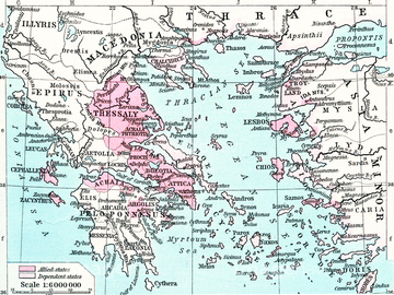
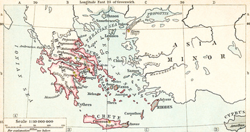
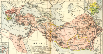
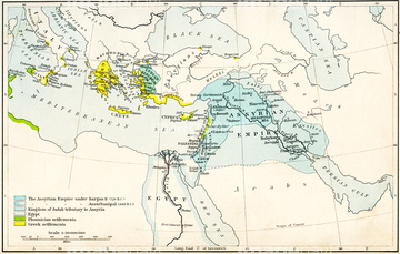
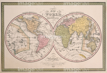
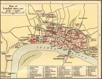
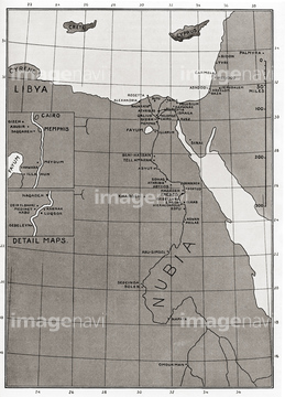
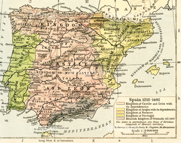
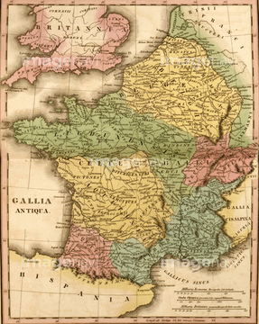
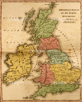
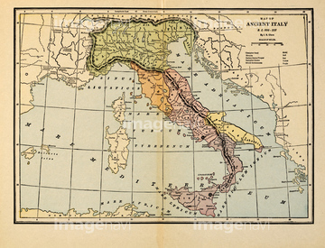
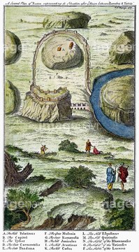
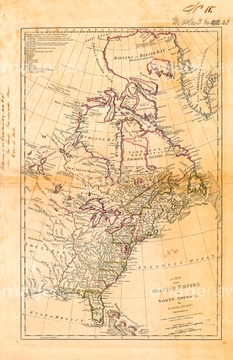
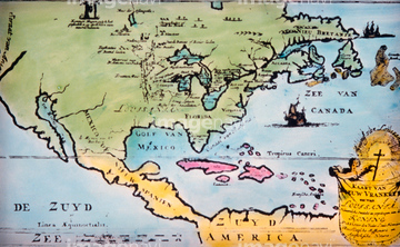
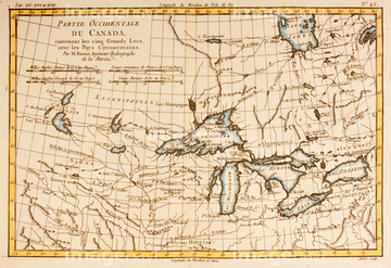
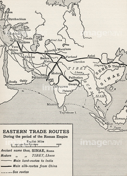
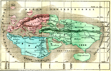
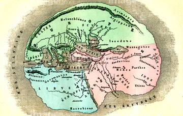
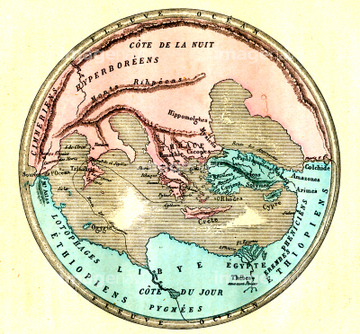
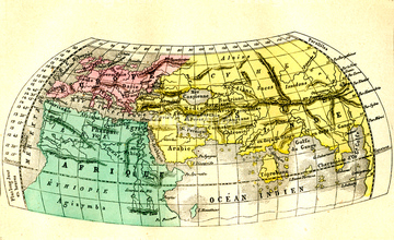
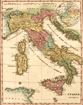
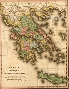
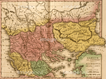
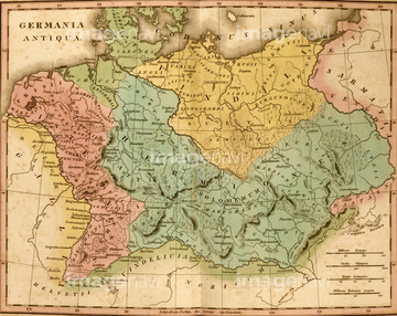
‚±‚جŒںچُŒ‹‰ت‚ة‚حپAThe World in Post Biblical TimesپAAncient France - Gallia AntiquaپAAncient BritainپAPlan of Paris, France in 1789پAMap of Ancient Italy, B.C. 800-222پAANCIENT ROME: SEVEN HILLS.‚ب‚ا‚ھٹـ‚ـ‚ê‚ؤ‚¢‚ـ‚·پB

53133050
53134545
53133032
53133041
52210909
53133051
53134494

51422839

51422840

51422841

51422842

51422843
53133097
53133200


64083449

51417161
64248562
64248563


53132940
51435946
51435950
51435955

53133038
52310869
51913056
64116818


51421621
53107312
53133052
51417162
64089074

51422942

51422943

51422944

51459589
64089082

51422887

51436264
52310871
64088155

51421591

64083420

64083504
51460235


64116814
64082681
64082688
64082945
64083095
52300413
17200242
51462494
52304687
53151361
64107450
64107451
64107452
64107453
64107454
51435947
51435948
51435949
51435951
51435952
51435953
51435954

51436058

51436064

51436261


51436265


51436268


51436271


51436273


51436278


51436280
51436281
51436294
51439337
51439338
51439339
51911481
51912520
64083464
30036704
30036720

52215736
51908332
64083035
64083415
64116815
30014856
30014858

53151091
53151110
53151154
53151166
53151167
53151168
53151178
53151179
53151265
| ژںƒyپ[ƒW |
