HOME > 写真 > 町並・建築 > 公園・文化財 > 世界文化遺産
10,000件の写真素材が検索されました。
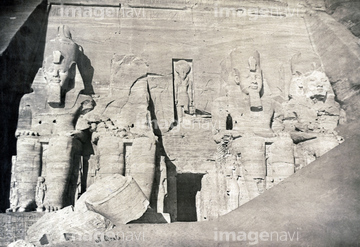
この検索結果には、アブシンベル大神殿、カラブシャ神殿/ケルタシのキオスク、アブ・シンベル大神殿、SUDAN: SEMNA EAST.、イシス神殿、朝焼け空とラクダなどが含まれています。
53134494
51436167
51976997
51435947
51916986
52100129
51428072
51459770
20929775
20929778
51998405
51992370
51917070
51997445
40903112
53125039
51916985
51996063
51996064
51459771
53134545

51435955
70096475
51435950
51435951
51476687
70001560
51996060
51916734
51916735
51436156
51997450
51997451
51997452
12401260
70006451
19255993
70093591

51435948

51422839

51422840

51422841

51422842

51422843
51916982
51992038
51435946
53133032
70093592
30036504
53128782
51992491
51917160
51916967
51916980
51916983
51917006
51917007
51991809
51996062
51435952
51435954
51916969
70093590
51435953
51913056

51421591

52310869
52100108
20929777

51421621
53133041
53133050
53133051
53133097
53133200

23820998
64248558
52300413
70288732
51917030
70010468
70010471
70010473
70093587
70093588
70096467
70288735
51997448
51997449
51913281
64248562
64248563
70093589
51997447
51916990
51916991
51917146
52210909
53107312
51991088
64088384
51996052
51997466
51999136
52100053
51997437
53151260
64083494
51917036
51417161
51417162
51912829
51917157
51917438
51918751
51918763
51917022
51917095
51991600
51991601
51991881
51992414
51993205
52100099
52310871
64107450
64107451
64107452
64107453
64107454
64088155
64089074
64089082
51916736
51991465
51991467
51435949
| 次ページ |
