HOME > 写真 > イラスト・CG > ビジネス > その他の職業
10,000件の写真素材が検索されました。
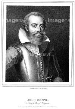
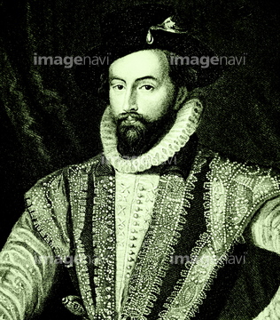
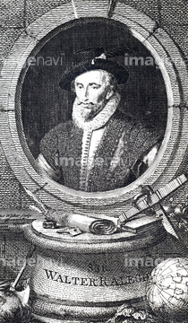
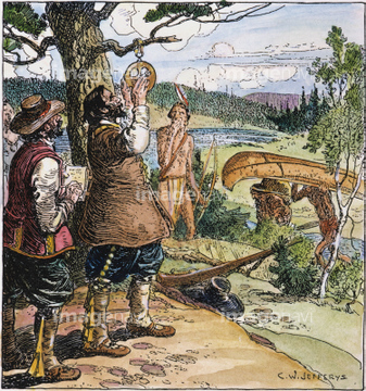
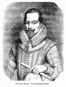
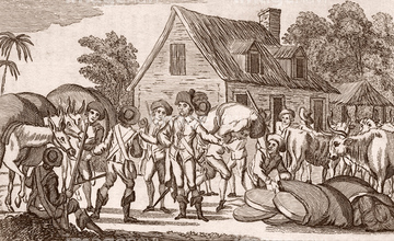
この検索結果には、Sir Walter Raleigh, 19th century illustration、Engraving depicting Sir Austen Henry Layard's exca…、Virginia Discovered and described by john Smith - …、CANADA: PORT ROYAL, 1613.、ROANOKE FOUNDING, 1587.、Walter Raleigh.などが含まれています。
53121502
53111339
51941523
64098805
64108401
51990862
51941913
51946767
51950260
64219236
51425743
64218441
51946247
64078491
51483289
51913258
64145131

51436696
51903243
51904927
51902044
51943274
51946812
51948978
64108417
53131295
53123895
64140203
51904050
64217395
51961341
51489953
51436416
64116170
51913266
20581943
51993147
51964672
53135868
53135869
53135870
53135871

53135874
51943020
51941610
51909424
51493143
51493155
51493160
51902219
51921688
51952958
64100559
53137078
53137079
53137080
53137081
51966570
51458217

64140281
51966209
51966210
51903316

51946157
51497240
51902155
64041648
51952231
51961172
51960595
51960596
51960598
51435965
51437241
64108413
64109844
64140216
64254057
51901221
51954269
51954270

51971619
51901374
51903134
51903323
51903726
51903953
51907700
51910069
51909257
51914598
51493136
51493137
51493144
53140204
53140226
51902220
51902326
51902327
51490097
51952999
53115351
51493613
53118927
51426354
51423424
64079225
51478829
51937237
53135937
64108566
64111259
64117075
64116814
51493164
53108834

51951564
64107350

64107351
64108365
64045106
64072417
51946811
53136066
53136067
53136068
51964824
51950377
64129969
64041628
51969943
51457912
51457913
51493167
51997863
51990814
51921166
51942751
51999242
51999243
51961470
51964155
51965894
51953000
51953295
51955119

53135866
53135867
53136183
| 次ページ |
