HOME > 写真 > 自然・風景 > 川・湖沼 > 川
10,000件の写真素材が検索されました。
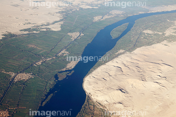
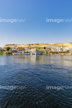
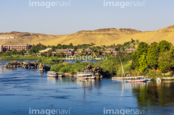
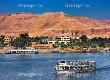
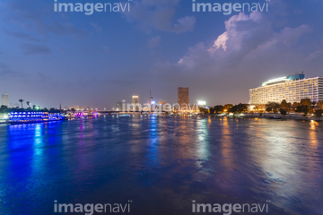
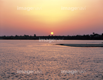
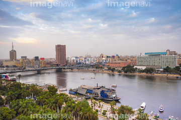
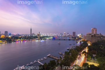
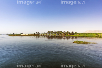
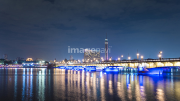
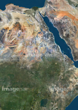
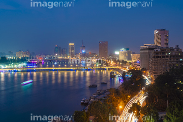
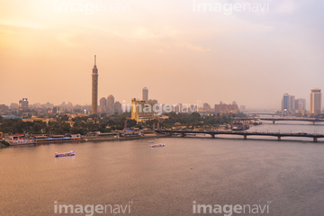
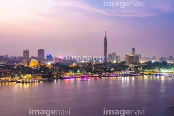
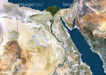
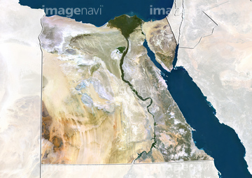
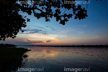
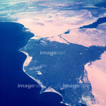
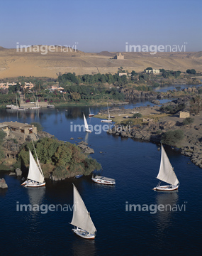
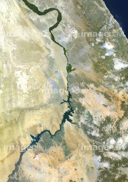
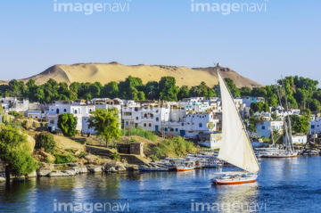
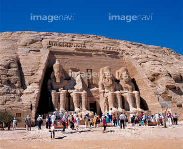
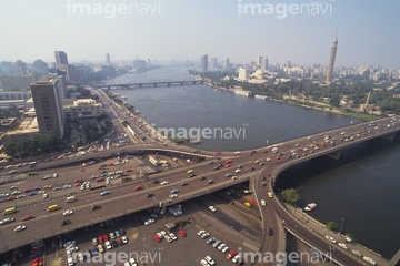
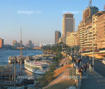
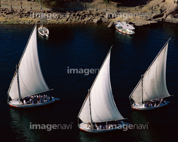
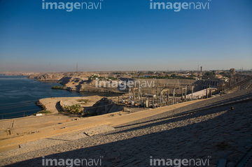
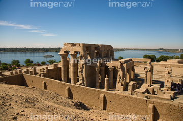
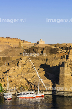
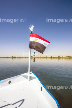
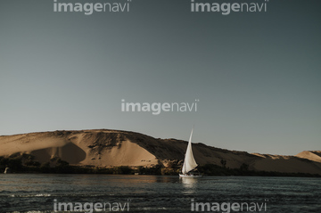
この検索結果には、ナイル川/渡し船、アスワンを流れるナイル川、ナイル川の夕陽、エレファンティネ島 クヌム神殿よりナイル川とアスワン市街、ナイル川のクルージング、ナイル川のクルージング船などが含まれています。

53152104
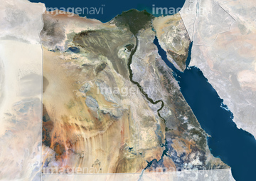
20929772
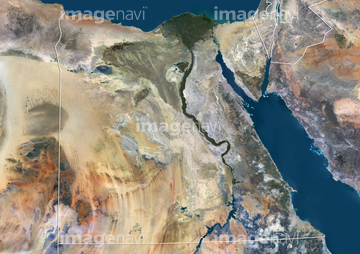
20929773
51451452

64230866

64074420
51451463

64098693
70099458
64014738
70250648
70010476

70093577
19285832
19285834
64102888

53112342
64098694
64095810
10314179
99046144
70006449
70093553
51993231
51450981


51451033
51993301
31006890
31006891
31006892
31006893
31006894
31006895
31006896
10314142
70288734
70006455
64088356


64074189

64074191
51451178
70093571
70093572

53152103
70093569
51451066
64135595
31006897
70093551
53112633
53112634

51451555
30035168
51995037
64013970


| 次ページ |
