HOME > 写真 > 自然・風景 > 川・湖沼 > 川
10,000件の写真素材が検索されました。
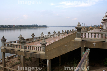
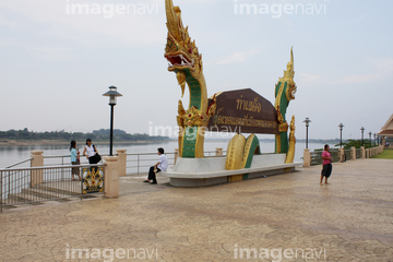
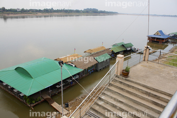
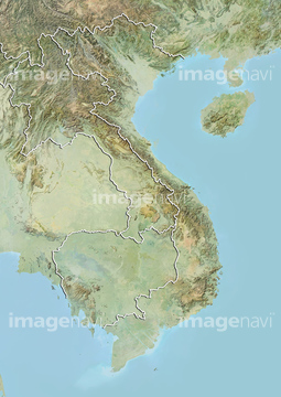
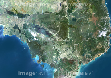
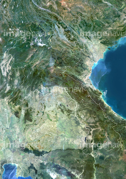
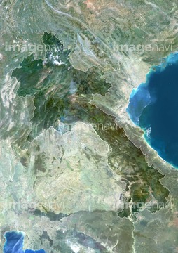
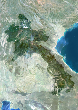
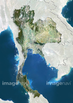
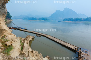
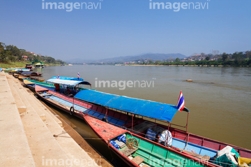
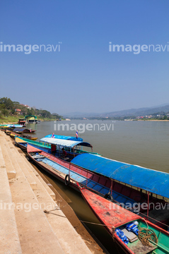
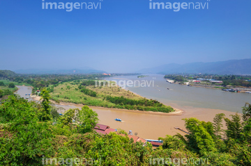
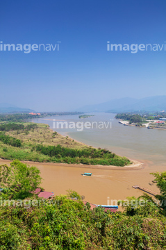
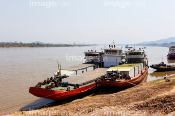
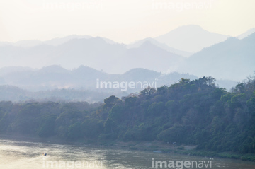
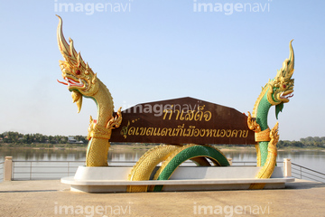
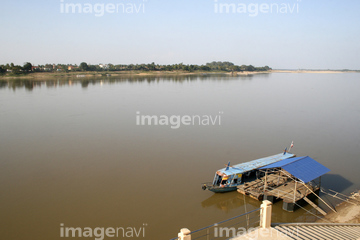
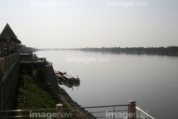
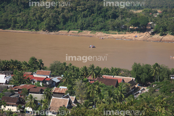
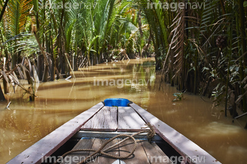
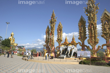
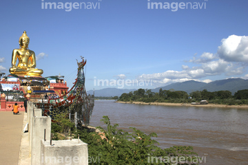
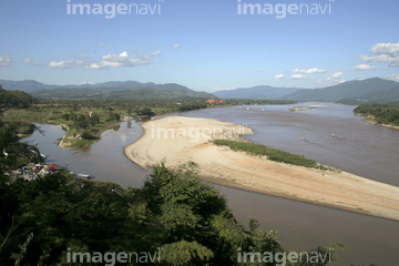
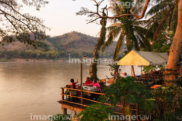
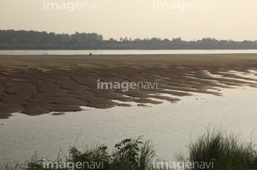
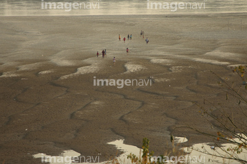
この検索結果には、ノーンカーイ、メコン川と船着き場、メコン川と対岸の町チェンコーン、メコン川、パークウー洞窟、ゴールデントライアングルの碑などが含まれています。
53112342
51451178

53112615
53112616

41267342
41267344
41267345

70448276
70460267
70174699

53152104
70227232
70448277
70448278
70444861
70444862
70444863
70444864
70444865
70444866
70444867
70444868
70444869
70444871
70460153
41266656
41266657
41266658
30029251
51451506


30385833
41265583
41265586
70073527
70460144
70460145
70460146
70460147
70460151
70460152

30449022
70009740
41265580
64045942
64016135
64081931
64081933
64081955

51451555
70093658
30449023
41265581
41265582
41265585
70460143
41396805
41396806
64259423
63031586
99046106
51451452
64259276
53152149
70527038
70527039
70527040

70527041
70527042
70527043
70527047
70527055
70527056
70527057
70527058
70527059
70527060
70527061
70527062
70527063
70527064
70527065
70527066
70527067
70527068
70527069
70527070
| 次ページ |
