HOME > 写真 > 地図・衛星写真 > 衛星写真 > 世界遺産
10,000件の写真素材が検索されました。
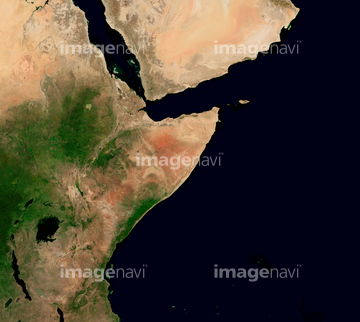
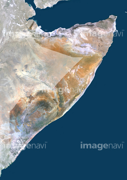
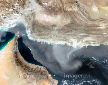
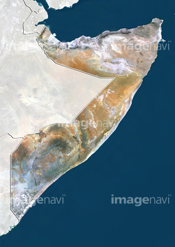
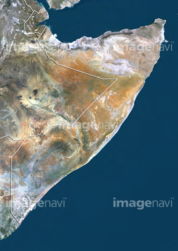
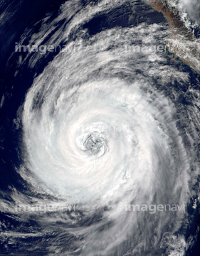
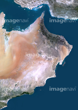
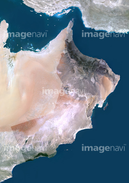
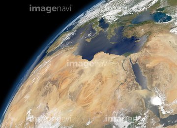
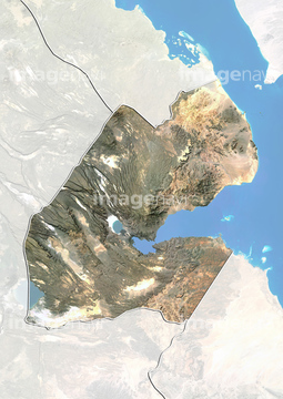
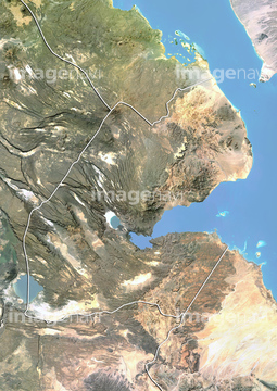
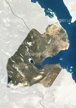
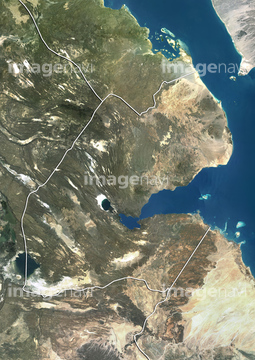
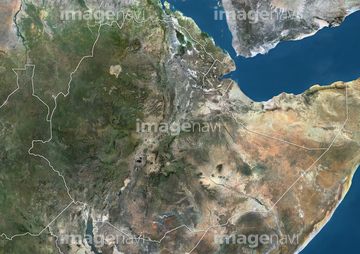
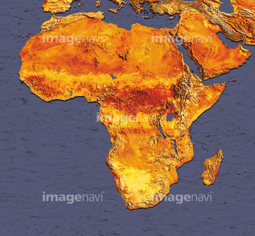
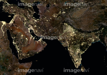
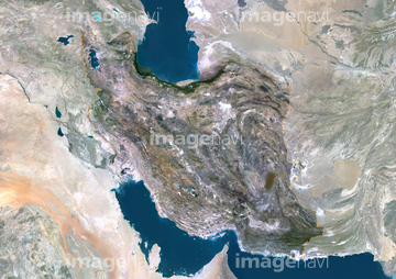
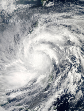
この検索結果には、モガディシュ、宇宙から見た地球(NASA提供)、Djibouti, Africa, True Colour Satellite Image With…、Hurricane Charley、Somalia, Natural Colour Satellite Image、Somalia, Relief Map with Border and Maskなどが含まれています。
64008121
63030677

64259351

64014989


64220039

64084875

64014700

64014968

64014976

64014977

64014985

64017093

64014988
99046163

64014986

64014973
51451579

64014987
64082537

64259269
64082570
64014963

64057061

64078685


64243149


64014972
51451440

64192838


64170236
51425077

64057050


64057054


64049194
64040993
64014964

64014970

64067334


64062430
64192648

64067337


51450949


64093887
64091491
64091497
64091502

64014974

64076181

64064274


64046145

64067282


64079239
64079240
64079241

64043385

64014930


64067332

41455275
41455276
41421531
41421532
41421533
41421534
41421535
41421536
41421537
41421538
41421835
41421836
41421837
41421838
41421839
41421840
41421841
41421842
41421843

64111650


64057051


64067335


64170235

64243450


64062425

64062426


64062428

64062429


63030507
53112708
64014728
64098665


64109508
64078929
64078930
64078995
64078996
64078997

64079777


64061242

64014773

64016158

64067336

64075588

64075590

64016901
30328185
30328186
64109560

64088669

64140770


64149337

64057052

64057060

64057064

64064290


64067286

| 次ページ |
