HOME > 写真 > 地図・衛星写真 > 衛星写真 > 災害・気象現象
10,000件の写真素材が検索されました。
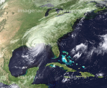
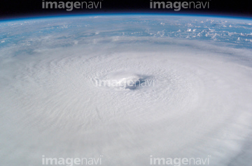
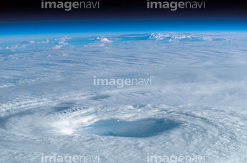
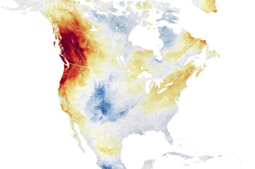
この検索結果には、Hurricane Charley、New Zealand, satellite image、North-eastern Australia, satellite image、Western Europe, satellite image、Hurricanes Irma and Jose, satellite image、Flooded Indus River, Pakistanなどが含まれています。


64243450

64152470


64057054

64046145

64014974

64014970

64014973


64140770

64108861

64014987

64014988

64014989


64061242

64152465

64152471


64014972

64014977


64014985

64076181

64067332


64062430

64079777


64062426


64062428


64014986


64219636
64253801


64109508


64109509

17200269

64014971

64057050


64057061

64044574

64140771

64044794

64044795

64044796

64093887

64217603

64169046

64169059

64057052


64057064

64062425

64062429


64067282


64067337

64075588

64075590

64014771
64078929
64078930
64078995
64078996
64078997
64079239
64079240
64079241
64096997


64040185

64040186

64067286

64135588


64057051


64057060

64067333

64064290

64067334

64067335

64067336


64260136

64062373

64014976

64109506


64014969

64060109

64060110
17200275

64014968

64014975

64170235

64170236

64243149

64220039


64049194

64064274


64084875


17200276


64203337

64067331

17200256

17200257


64014702

64116186

64116187

64116188

64047888
64109501
64169045


64096990
17200270
64014981

64017093
64012741


64061241
64116185

64149337

64164839

64131456

64111650


64089327

64014979
64014980

64052336


64200497
17200267
17200268

17200258

64109563
| 次ページ |
