HOME > 写真 > 自然・風景 > 宇宙 > 地球
10,000件の写真素材が検索されました。
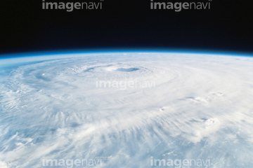
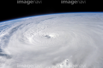
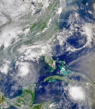
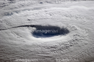
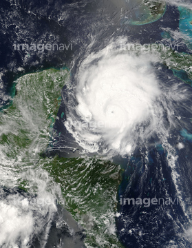
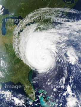
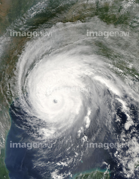
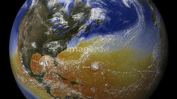
この検索結果には、Larsen C iceberg, 2017 and 2018, satellite images、Hurricane Isabel over Atlantic Ocean, satellite vi…、La Nina, December 2010、Hurricane Ivan、Hurricanes Bonnie and Charley、Typhoon Neoguri, ISS imageなどが含まれています。

64152465

64152471


64062373

64044794

64044795

64044796


64046145

64061242

64067331

64014702

64152470

64057054

64061241


64040185

64040186

64014971


17200267
17200268


64052336


64067330

20506144

64260136

64014974

64014970
64014981

64169046

64169059

64088728

64040980
64014960
64096990
64050064
64063246


64243450

64242042

64014972


64047888
17200269
64014969
64096997
64015010
64015011

64015012

64043083

64109527

64109558

64218473

64044426

64044427

64047887


64067805


64075588

64075590

64040166


64040203

64040204

64040205

64040206

64041230

64062174

64062175
64015013

64015014
64015015
64015016

64076181
64072860
64072861
64062002
64062003
64062005
64015009

64060109

64060110

64014975
64014979
64014980
64014967
64014984

64040182

64040183

64109227

64014973

64014977


64067282

64011490
64193313
64253801
17200271


64109443

64109465
64075843


64115732

64040184
17200272
17200273

30046969
17200270
64169045


64086444

64053684

64067292

64067293

64067288

64058420

64058421


64015008

64075191


64075196

64075197
64012741

64053315
17200274


64014985

64220219

64041383

64041390


64140771

30029263

30029236


64014987

64169090
64169091
64169092
64193314

64014983

64067291
64067283
64067300

64014988

64014989

| 次ページ |
