HOME > 写真 > 自然・風景 > 宇宙 > 惑星
10,000件の写真素材が検索されました。
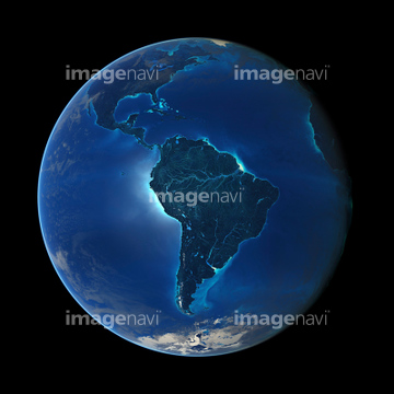
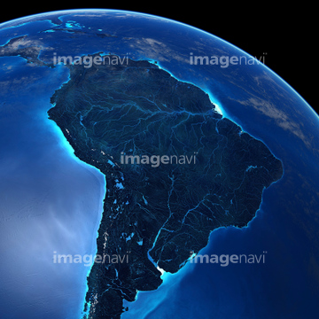
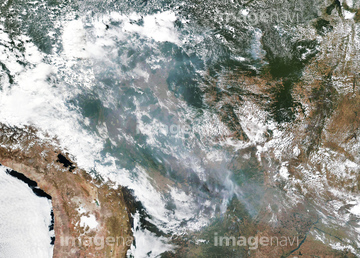
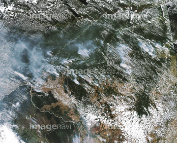
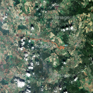
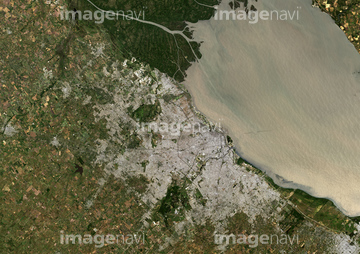
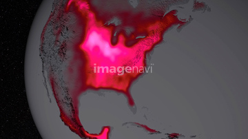
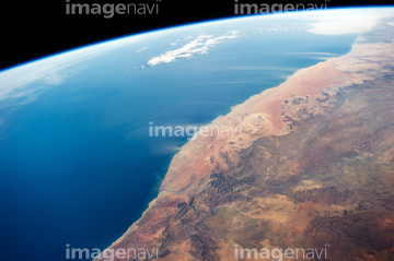
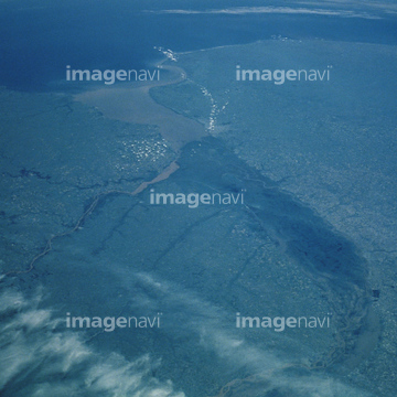
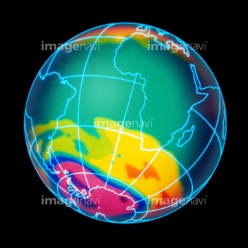
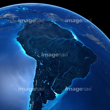
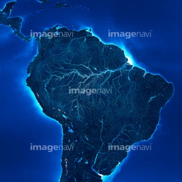
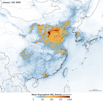
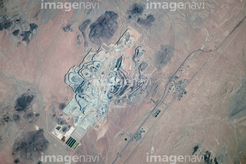
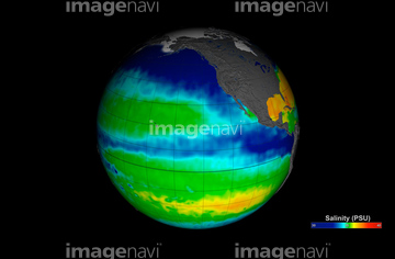
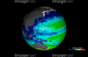
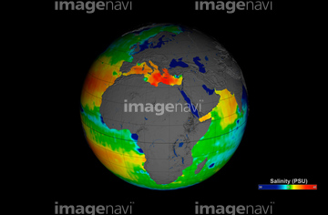
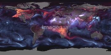
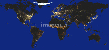
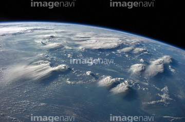
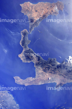
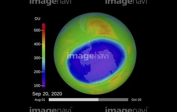
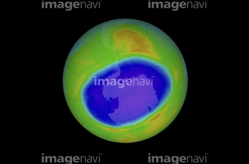
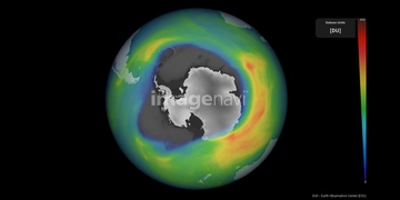
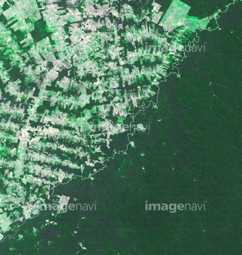
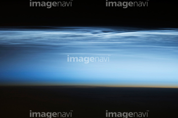
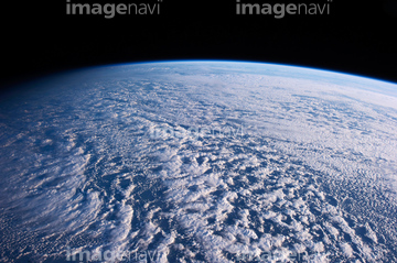
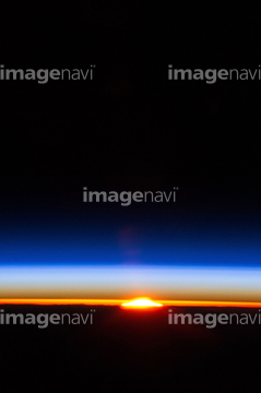
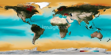
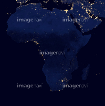
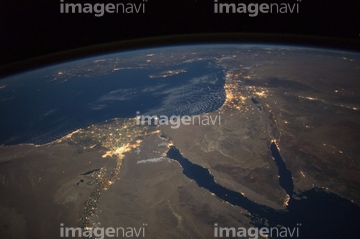
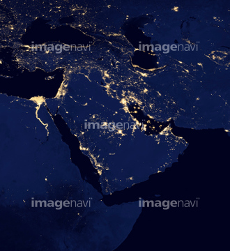
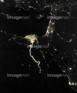
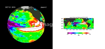
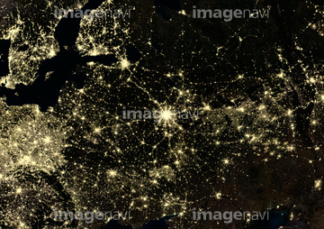
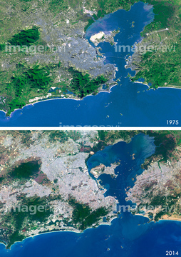
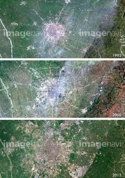
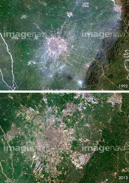
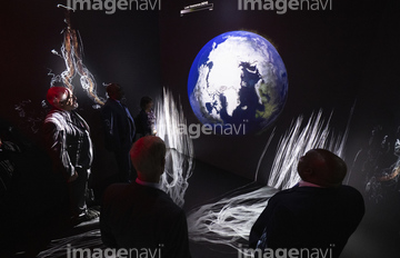
この検索結果には、宇宙から見た地球(NASA提供)、Ocean-atmosphere CO2 exchange, 2050、Ocean carbonate saturation, 2030、Ocean carbonate saturation, 2050、Ocean chlorophyll concentrations, 2015、Global temperature anomalies, 2015などが含まれています。

64188515

64188516
64063258

64109506


64016158

64086527
64086528
64188518


64059352

64059353

64188517

64045794

64096993
99046051

64073664

64073665
64106826
64106827
64086385
64086389
64086398

64086428
64086495


64086685


64141184

64109439

64109440

64109441

64109442

64109461

64109462

64109463

64109464

64109473

64109475


64109509

64109527

64109558
64109562

64109563

64098666

64098673


64098677

64098678

64098684

64098688

64098690

64098696


64098702


64078001
64078002
64078003
64078004
64078005


64218100


64203337

64059340


64059343

64059347
64059348

64059349

64059350


64059355

64059356

64059357


64053700


64072059

64072060
64075188
64075189

64075190

64075191


64075196

64075197

64011192

99046056
64170956
64014746
64096982
64096987
64062365
64063264

64090826

64098693
64098694

64044574
64109467
64109468

64255396
64200590
64206258
64206259
64237590


64086393

64086443

64086444

64086667

64093933

64109433

64109438

64109443

64109444

64109460

64109465
64109466

64109469

64109476
64109677


64097610
64059714


64044426

64044427
64076172
64061236

64074420

64091493
64109501
64098667

64098680

64098681


64257529
64262469

64263237
64253228

64059362
64059363


64208339

64053586
64086419

64087817
| 次ページ |
