HOME > 写真 > 地図・衛星写真 > 衛星写真 > 災害・気象現象
10,000件の写真素材が検索されました。
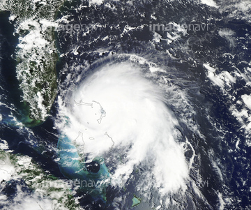
この検索結果には、Nicosia, Cyprus, satellite image、Prague, Czech Republic, satellite image、Blue Marble image of Earth (2005)、Tropical cyclones、Houston, USA, satellite image、Low pressure, Iceland, satellite imageなどが含まれています。
64014728

64014726
64014729
64014730
64014732
64014727
64014731
64014735

64014737
64014724
64014725
64014753
64014723
64015062
64016065

64064274
64016069
64015345

64016162
64015344

64014773

17200256

64016158

64014196

64062425

64062429
64014733
64014742

64014744

64014740
64014738
64016067
64015411
64014736
64015063
64015064
64015065
64015066
64015067


17200257


64014970

64014155

64014193


64014700
64014964
64014164


64062428


64135588
64014963


64014120
64015348
64014734

64014752
64192838
64192648
64014156
64014163

64014194

64220039
64014211

64170236

64049194
64064480

51450920

64075588

64075590

17200258
30014856
30014858

64014968

64014154
64014165
64014169
53112826
53112827
51451200
51451420
51451510

51451029
51451047
| 次ページ |
