HOME > 写真 > 地図・衛星写真 > 衛星写真 > 災害・気象現象
10,000件の写真素材が検索されました。
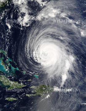
この検索結果には、Hurricane Emily, 16 July 2005、Hurricane Emily, 17 July 2005、Hurricane Katrina、Hurricane Rita, 23rd September 2005、Australian bushfire 2009, satellite image、Tropical cyclone Ingridなどが含まれています。
64014742
64014743

64016069
64010067

64014826

64016162
64015345

64014773
64016065
64014744

17200272


64188515

64188516

64014196
64015062
64015344
64014832
64014164

64047887

64062174

64062175

64014155

64014193

64015411
64016067


64062428


64015063
64015064
64015065
64015066
64015067


64067805

64040203

64040204

64014970

64014975
64014979
64014980
64014981
64014984

17200273


64047888


64014726
64014729
64014730
64014732
64011099
64014117


64040205

64040206

64043083

64242042


64044426

64044427

64075588

64075590

64040166

64040980

64014120
64063283
64014154

64067330

64061241
64015009

64015012
64211804
64014724
64014725
64014735
64014753

64109563
64015061
17200271


64014969


64014702

64015263

64088728
64008414


64109433

64109438

64109441

64109442

64109443

64109444

64109460

64109463

64109464

64109465

64014163
64014165
64014169

64014194
64014211
64014156
64014727
64014728
64016888

64040184

64062426
64014749


64014158
64015010
64015011
17200268
64014967

64015014
64015015
64015016
64015086

64014575
64014731

64017177

64014971

64046145

64109227

64044794

64044795

64044796
64012741

64057054

64067282

64011490

64014976

64014977

64014985
64015008

64014147
64014151
64014152
64014161
64014166

64010000

64010005

64011094

64011098
64011100
64014192
64014212

64152465

64109527

64109558

64218473

64041230


64062373


64109476

64216484


64067293
64188518
| 次ページ |
