HOME > 写真 > 自然・風景 > 宇宙 > 地球
10,000件の写真素材が検索されました。
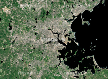
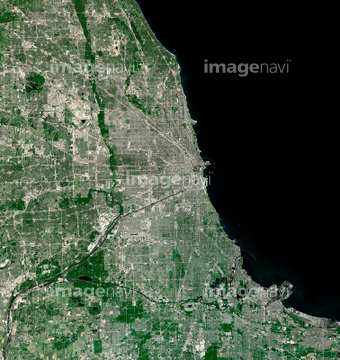
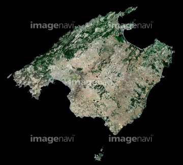
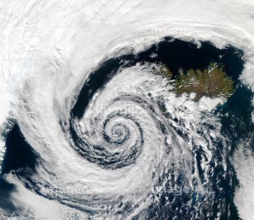
この検索結果には、Reykjavik, Iceland, satellite image、Belcher Islands, satellite image、Athens, Greece, satellite image、Boston, USA, satellite image、Chicago, USA, satellite image、Majorca, Spain, satellite imageなどが含まれています。

17200263

64015263
64014117
64015487

64210700

64053686

64016256

64016257

64074902

64014831

64014164

64014196


64016878


64210710

64051876


64014194
64014211
64014161
64014192


64014155
64014156

64014193


64016884

64014975


64014147
64014212
64016071
64017024
64014163
64014165
64154732


64098673

64098684

64098804
64015260
64014969

64102918

64139331
64014148
64014154
64014158
64014169
64014149


64214598
64014151
64014152

64011098
64016332


64057586

64014826

64067341
64075416

64012741

64098688

64098690
64011099

64098806

64098807

64098808

64139332

64065656
17200272
64014168
64014200
64016886


64010000

64010005
64014157
64014166
64014199

64011094
64011100

64014971

64253111

64253112
64015259

64100584

64139333
64014109

64220114

64016860

64016861

64016862

64016863

64045766


64014970

64163101

64040204

64057614
64016964
64016965

64075415

64105661

64105663

64059203


64060621

64014740


64062428


64129762


64098702

64065662
64065660


64009992
64016274
17200271
64263649
64013246
64013247
64014159
64014160


64014770
64014832


64061241

64040203


17200273

64041383

64041390
64139336
64139347
17200266

64062426
64215906
64215913

64057571

64057572

64057574

64057582

64057617

64067342

64067343

64067344

64075072

64075073
64010006
64011401
64017038

64047887
64014742

64065658

64046391

64040012

64040015

64057054

64075588

64075590
64163303
| 次ページ |
