HOME > 写真 > 地図・衛星写真 > 衛星写真 > 災害・気象現象
10,000件の写真素材が検索されました。
この検索結果には、Minsk, Belarus, satellite image、Warsaw, Poland, satellite image、Berlin, Germany, satellite image、London, UK, satellite image、Madrid, Spain, satellite image、Athens, Greece, satellite imageなどが含まれています。
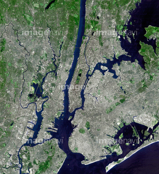
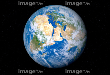
64015065
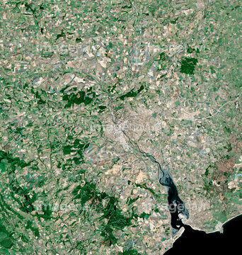
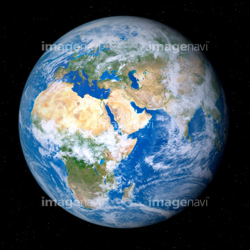
64015063
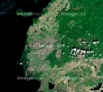
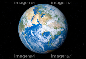
64015064
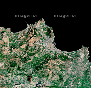
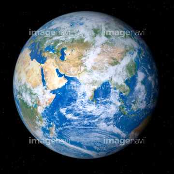
64015066
64015067
64015062
64016069

64014773
64014164

64014196
64014744
64015344
64015345

64016162

64048958

64014155

64014193

64015411
64016065
64016067
64008414

64010000

64010005

64014120
64014967
64014742
64014156

64014154
64014163
64014165
64014169

64014194
64014211
64014168
64014805
64014727


64014147
64014151
64014152
64014161
64014166
64014192
64014212

64011094

64011098
64011100
64014148
64014158


64062425


64062428

64062429


64014737
64014724
64014725
64014735
64014753
17201576
17200268

64073665

64014726
64014728
64014729
64014730
64014732


64044741

64009992
64015061
17200275
64259647
64014157
64014199
64014149
64014200
64014731

64041383
64016886

64014421
64009999
64010004
64010006

64073664

64139333
64016915
64016917
64016918
64016924
64016925
64014743
64048952
64048953
64048954
64048955
64048956
64048957
64048959
64048960
64048961
64049174
64049175
64049176
64049177
64049178
64049179
64049180
64049181
64049182
64049183
64049184
64049185
64049196
64049197
64049198
64049202
64049203
64049204
64049220


64062174

64062175

64011221

64011223

64011225

64011229
64016905
64016906
64016911
64016921
64016922
64016274


64016878

64259482

64259490


64040980


17200267
64016066
64013246
64013247
64013248
64014159
64014160
64011099
64009996

64062426

64014826


64057052
64010511

| 次ページ |
