HOME > 写真 > 地図・衛星写真 > 衛星写真 > 災害・気象現象
10,000件の写真素材が検索されました。
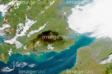
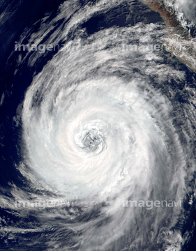
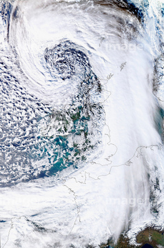
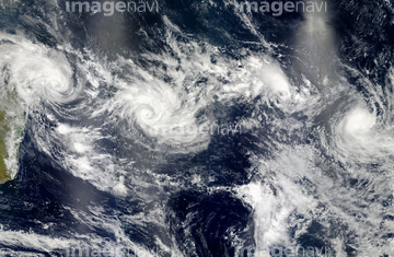
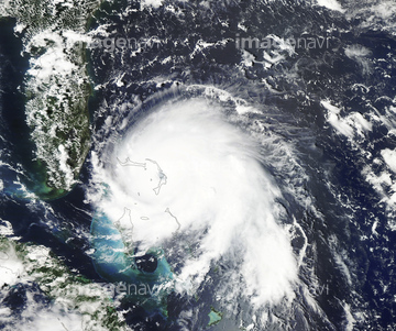
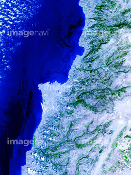
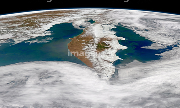
この検索結果には、Summer heatwave, 2006、Greece, satellite image、Lake Baikal, satellite image、Hurricane Irma, satellite image、Scandinavian heat wave, July 2018, satellite image、Hurricane Matthew, satellite imageなどが含まれています。


64057050

64057054

64014985


64017093
64014963


64014987

64014988

64014989


64014964

64062428


64057061

64109508


64046145

64014970

64014973

64014976

64014977

64192648
64192838

64057052


64062425

64062426


64062429


64014974

64014700


64076181

64061242

64014773

64067282

64014771

64067334

64067336

64152470


64243450

64078929
64078930
64078995
64078996
64078997
64079239
64079240
64079241

64014968

64108861

64057051


64057060

64057064


64014986


64014972


64079777

64084875

64170236

64220039

64064274

64049194


64075588

64075590
51425077

64140770

64082537


64067333

64109509

64014930


64067332

64067337

64067335


64062430

64044574
64152692

64109506


64219636
64082570


64043385
64008121
64040993

64016158


64170235

64243149

64064290


64109560

64116186

64116187

64116188


64200497

64067286


64152693

64017170
10171502
10171503
10171507
41188289
41166346
41265488
41265491

17200256

17200257


17200234


64135588


64088669

64089327

64111649

64111650


64131456


64078685

64164839


64217603


64149337


64197367


64093887

19400940

64091497
64091502
64014983
64015154
| 次ページ |
