HOME > 写真 > 自然・風景 > 宇宙 > 地球
10,000件の写真素材が検索されました。
この検索結果には、Earth, artwork、Atafu Atoll, Micronesia、World map, satellite image、Destruction of the Earth,conceptual image、Sea surface density, global map、City lights at night in Italy, illustrationなどが含まれています。

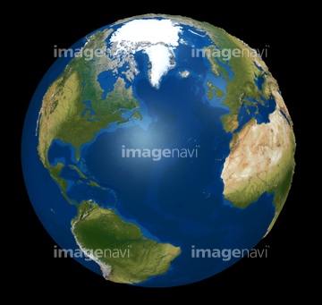
64040204

64040203

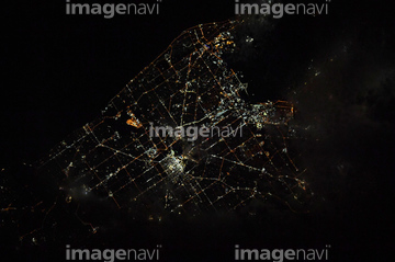
64040205

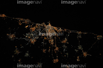
64040206

64040166


64043083

64242042

64062174

64062175

64041230


64044426

64044427


64075588

64075590

64109443

64109465


64088728

64040980
64014715
64067518
64067524

64047887


64014702


64067805

64109527

64109558


64053684

64040182

64040183


64073664


64218473

64062373

64067330


64011490

64086444

64041390


64014575

64058420

64058421


64073665
64067523
64071961

64043836
64043838
64045846


64087817


64053686

64040012

64040015

64040177

64040178

64041345

64073666

64074902

64011214

64011231

64152465


64061242

64044794

64044795

64044796

64047888

64067282

64067331

17200250


64014771
64235896

64059353

64059355
64081342
64081358
64081361

64220039


64067292

64067293

64185232

64185233

64185234

64185238

64185239

64185240

64185236

64109433

64109438

64109441

64109442

64109444

64109460

64109463

64109464

64109476

64064274

64047394

64086667

64041383

20506144

64106283


64072059

64072060

17200257


64083581

64083582

64259482
64259491

64043123
64254515


64252846

64043655
64043656
64043657
64043658
64043659
64043660
64043661

64048952
64048953
64048954
64048955
64048956
64048957
64048958
64048959
64048960
64048961
64049174
64049175
64049176
64049177
64049178
64049179
64049180
64049181
64049182
| 次ページ |
