HOME > 写真 > 自然・風景 > 宇宙 > 地球
10,000件の写真素材が検索されました。
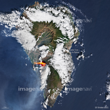
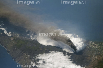
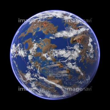
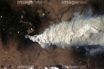
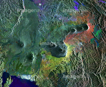
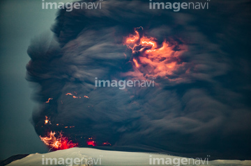
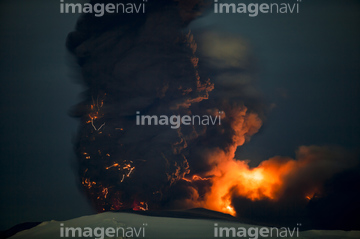
この検索結果には、Mount Rainier, ISS image、Volcanic activity at Anak Krakatoa, ISS image、Cumbre Vieja volcano erupting、Atafu Atoll, Micronesia、Early Earth globe, artwork、Wildfire, Sante Fe, USA, ISS imageなどが含まれています。


64050255


64041547
64096987
64015496
64068269
64075672
64075675

64086685


64053684


64051876

64073758

64015494
64023310
64107664
64190764
64235338

64086444
64067300
64063264
64087873

64057572

64057615

64075188

64057582

64041230

64067303

64160022

64087874

64047110

64088684
64090803
64253228
64015507
64047825
64098444
64098445
64113737
64105648
64077533
64059348

64059352

64067333

64059340

64059343
64059363

64045640

64045641
64045642

64045653

64045654

64045655
64047084
64015557

64044574

64040182

64040183

64040184
64252934


64088728


64253111

64253112
64063275

64053315


64040185

64040186
64075189

64075190

64075191


64075196

64075197

64102918


64262469

64059386
64063265
64072653
64072654
64040181
64211648

64067341

64135588

64087817


64091493
64096996

64098804

64098806

64098807

64098808


64214597

64045775

64045782


64053686


64041386

64041387

64041388


64041391

64041392

64041895

64072484

64072485

64072486

64072487


64072490

64072491

64072492


64072494

64072495

64072496

64047887
| 次ページ |
