HOME > 写真 > 自然・風景 > 宇宙 > 地球
10,000件の写真素材が検索されました。
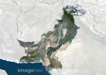
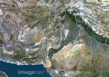
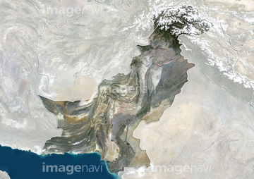
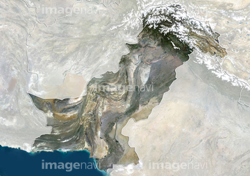
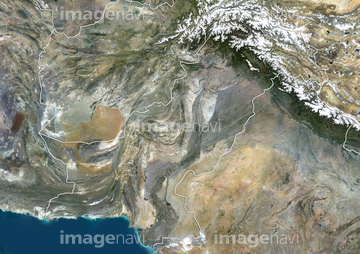
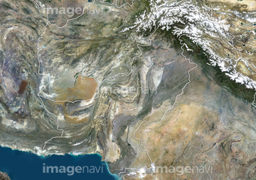
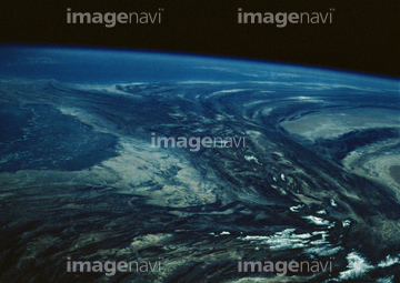
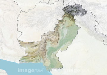
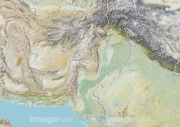
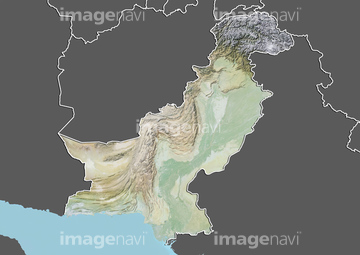
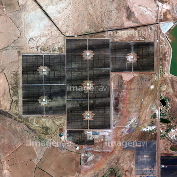
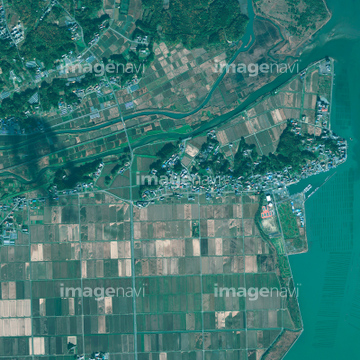
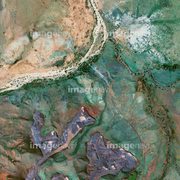
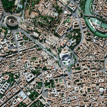
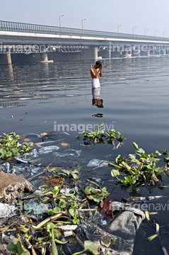
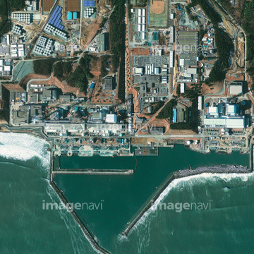
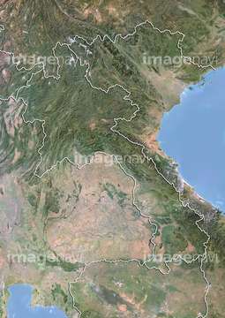
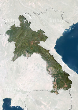
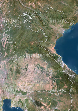
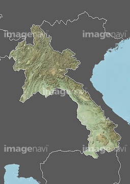
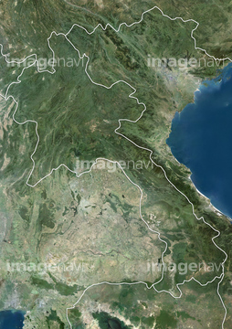
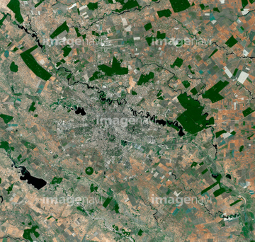
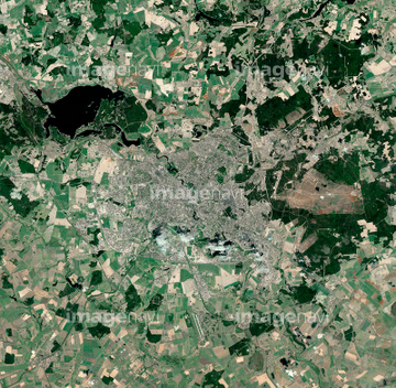
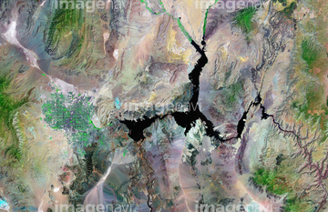
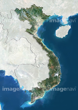
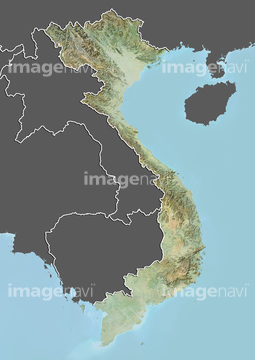
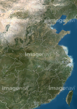
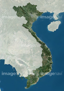
この検索結果には、宇宙から見た地球(NASA提供)、Vatican City, Italy, satellite image、Sendai, Japan, post-tsunami、Fukushima nuclear power plant, Japan、SMOS satellite, artwork、River pollution and prayersなどが含まれています。
64045942


64044574


64045944
64045945
64045946


64059343

64059355

64059356
64045954

64075190
64045936
64045938
64045939

99046106

64053686
51451330

64059349

64059357

64016863

64065656


64046391
64045934
64017038

64059362
64059360
64059361
64075189

64053325
64075188
64044124

64098688

64098690
64042118
64042120

64059353
64045948

64059339
64016332
64059345

64098684

64016256

64016257
64154732

64074902


64220114


64016860

64016861
64065660
64067340


64098673

64098693

64014193


64014196

64014155

64016862

64016884

64059714
64141174

64091493

64163101
64091420
64014739


64014740
64014770

64014831
64014923

64014975


64060621
64087199


64098702

64016878

64057572

64067342

64067343

64067344

64074420
51451178

53112615
53112616

64059352

64105661
64016135
64016136
64081931
64081933
64081955
64014211
64014212
64014156
64014192
64017024
64075294
64075295
64075296
64075297
64105664
64012743
17200263


64015263
64014117

64087196
64087197
64014969
64065662
64087177

64210710
64041301
53112342
64058587

64097610
64086528
64026179

64115822

64014147

64098806
53120511
53120512
53120513
53120514


64075072

64075073
64049154
64049155
64075180
64075181
64024607
64024610
| 次ページ |
