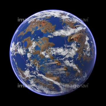
HOME > 写真 > 自然・風景 > 宇宙 > 地球
10,000件の写真素材が検索されました。
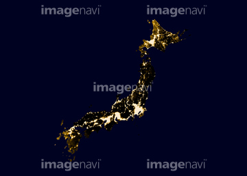
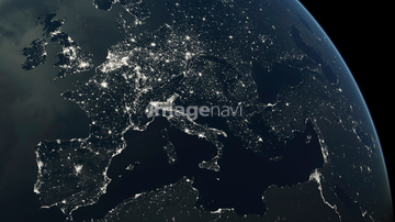
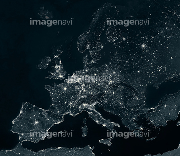
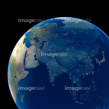
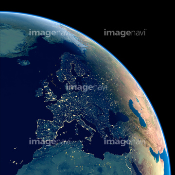
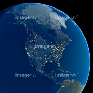
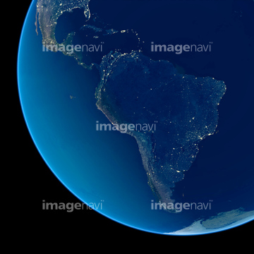
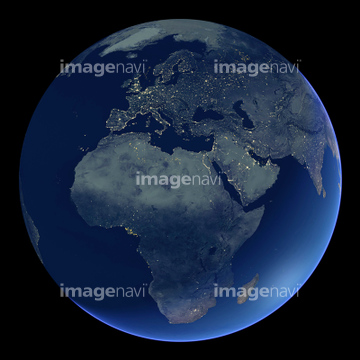
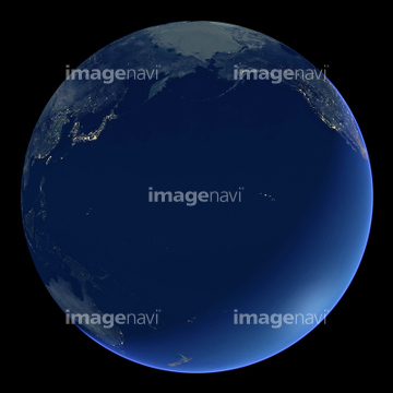
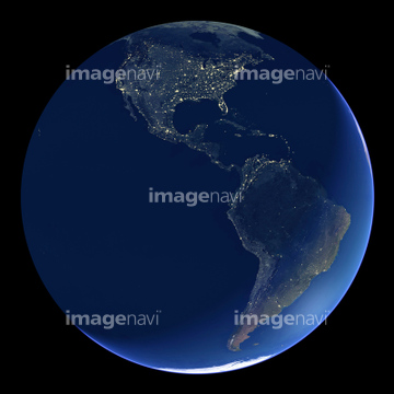
この検索結果には、Africa at night、North America at night、Australia and New Zealand at night、Middle East and India at night、South America at night、India at nightなどが含まれています。

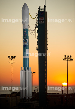
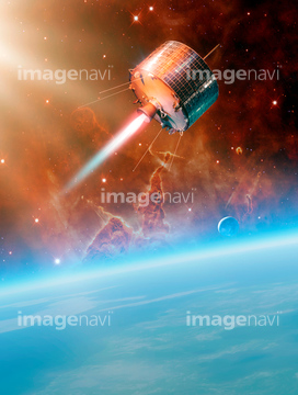
64050255


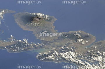
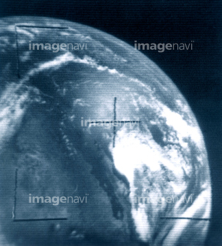
64050204


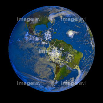
64059352

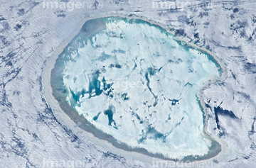
64059350

64053688
64053691
64053692


64053684

64086685
64087873
64075672
64075675

64073758


64051876
64190764
64059348
64063264
64053689

64053690
64160022

64067342

64067344

64074792
64059199
64059200
64059201
64059202
64059204
64059205
64059206
64059207
64059208
64059209
64059210
64059211
64059212
64059213

64059340

64059347

64059353
64059363

64243149

64011214

64011215

64011231

64040007

64040010

64040011

64040012

64040015

64040016


64041386

64041387

64041388
64045642

64049194
64050576
64053318


64053700
64096987

64063275

64053315


64067332

64088728

64086444

64057613

64057617

64052336

64057574

64057586

64057614
64053596
64053599
64088684

64048528
64048529
64050064

64105661

64063131
64063133
64063241
64063257
64063258

64074793

64074794

64074795

64075837

64057572

64011200
64011202

64011203
64011205

64011207
64011210

64011211

64011221

64011223

64011225


64011229

64011230

64040008

64040009

64040013

64040014
64040019

64041383


64041390

64041391

64041392

64053686
64075316
64050531

64067333
64077533

64096981
64131322

64053703
64107664
64253228
64067300
64075188
64075189

64075190

64075191


64075196

64075197


64253111

64253112


64040185

64040186
64090803

64074902

64075072

64075073
64011101
64011103
64015482


64059349

64059355

64059362
64063265
| 次ページ |
