HOME > 写真 > 自然・風景 > 宇宙 > 地球
10,000件の写真素材が検索されました。
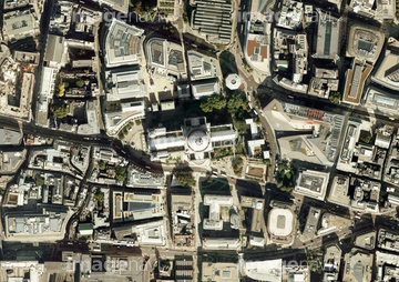
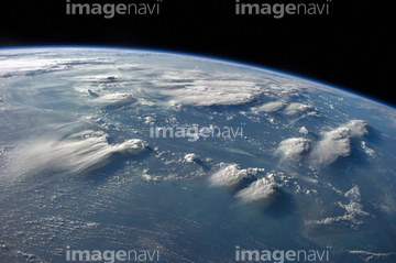
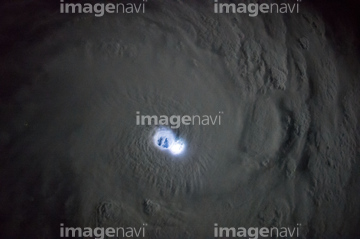
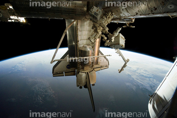
この検索結果には、Atmospheric humidity, computer simulation、Bezymianny volcano, satellite image、Ring of Gullion, satellite image、The Americas, satellite image、Atlantic Ocean, satellite image、Pacific Ocean, satellite imageなどが含まれています。

64052336


64062373
64063246

64044794

64044795

64044796

64061242

64046145
64096990
64062002
64062003
64062005
64072860
64072861


64061241

64076181
64050064

64014702


64152465
64075843
64115732

64060109

64060110

64067331

64053315

64088728

64242042


64109227

64067330

64047888

64086428


64087817


64079777


64085877

64085878


64043083

64214597


64047887


64053684

64053686

64040011

64040012

64040015

64040016

64040980

64041895


64072059

64072060

64072484

64072485

64072486

64072487


64072490

64072491

64072492


64072494

64072495

64072496

64073662

64073664

64073666

64074792

64075191


64075588

64075590

64075591

64011214

64011231
64050204

64260136
64115724
64220219

64040185

64040186


64073665

64049125
64063133


64152471


64109527

64109558
64045775

64045782


64041230

64066734


64074359


64075196

64075197


64169046

64169059

64059355


64075684

64057054


64040007

64040010

64040013

64040014

64074794

64011215

64011221

64011223

64011225

64011229


64096983

64259482

64259490


64045800

64046357

64047389


64053256

64053257

64053258

64053259

64053260

64053368

64053369

64053371

64053372

64053385

64053561


64074360

64074418

64074420

64074421

64074422

64074424


64063131
64063241
64063257
64063258
64063283
64086670

64057574

64057614

64050531
64075316
64106254
64096982
64115728


64053596

64053690


64047110

64040009

64041384

64074793


64074871

64086385
64096984
| 次ページ |
