HOME > 写真 > 地図・衛星写真 > 古地図 > 世界の古地図
10,000件の写真素材が検索されました。
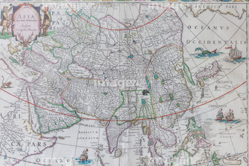
この検索結果には、Map of Asia、Map of Central Asia、Map of Northern India、Map of Russia、Map of Southern India、Map of Turkey and Middle Eastなどが含まれています。

64052692

64052655


64052702

64055081

64052693

64052698

64052691

64052700
64052701


64055078

64052695

51421591

64055077

51422942

51422943

51422944

51422887

64055082

64055083

51405941

51405946

51410014

51410015

51410019
51417178

64055079

64055074
30047322

51436319


51405939


51411502

51421621

51436264


51421916

51436273

51436278
51436294

51421882
51417096
51417110
51417171

51421879

51421880

51421899

51421901

51421905

51421920

51422843
51417174


64055076

64055073
51436022

64055075
30047318

30047320

30047323
51435521

51435740
51437240


51422156

51424030

51424032

51436129

51436130

51436182

51436315
70272646
51417106

51411456
51417072
51417101
51417109
51417135
51417136
51417140
51417143
51417152
51417168
51417192
51417195
51417210
51417215
51417216
51417217
51417218
51417220
51417222
51417226
51417233
51417234
51417235
51417239
51417241
51417243
51417246
51417253
51417255
51417262
51417266
51417285
51417299

51421877

51421883

51421884

51421885

51421888

51421889

51421890

51421891

51421894

51421895

51421896

51421897

51421898

51421900

51421902

51421904

51421906

51421921

51411444

51411445

51411446

51411447

51411453

51411454

51411455

51411466

51411467

51411469

51411470

51411503

51411516
51417132
51417137
51417138
51417160
51417203
51417242
51417293
51421892

51421907
51421908

51421919

51422840

51411448

51411457

51411459

51411468

51411505

51411506

51411508

51411509

51411513

51411523

51411524

51417199
51417236
51417237
51417238
51417244
51417325


51421917
51422888

51411449

51411452


51411461

51411462

51411464

51411465

51411504

51411511

51411512


51411517

51411518

51411519

51411520

51422842

51422778
| 次ページ |
