HOME > 写真 > 地図・衛星写真 > 衛星写真 > 世界遺産
10,000件の写真素材が検索されました。
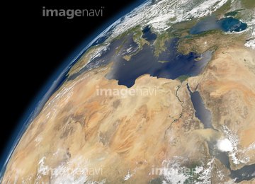
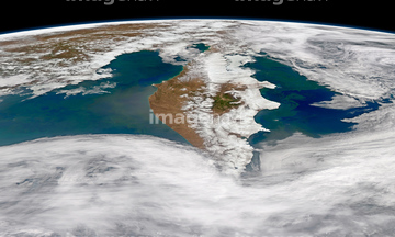
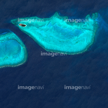
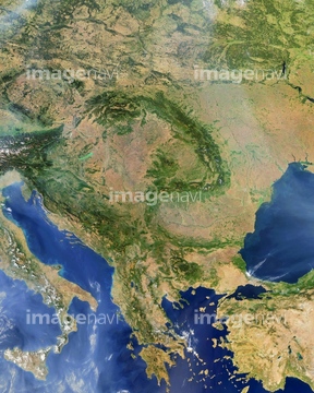
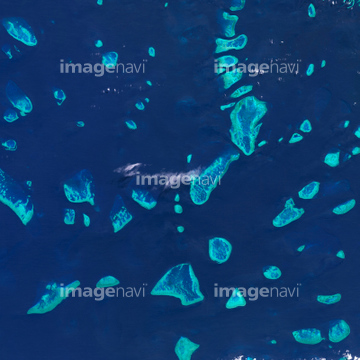
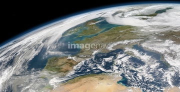
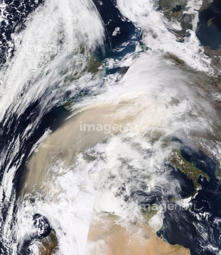
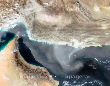
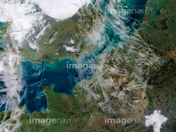
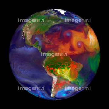
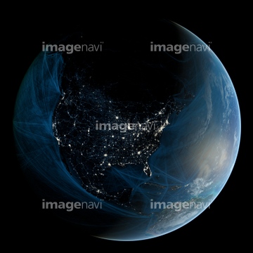
この検索結果には、Puyehue-Cordon volcano, satellite image、Indian Ocean, with clouds、Indian Ocean, chlorophyll concentration、Saharan dust plume, Bay of Biscay、Greece, satellite image、Clouds over Gulf of Alaska, MODIS imageなどが含まれています。


64057064

64057060


64057050

64057054

64057061

64057051


64057052


64067335
51450785

64064290

64067337


64067336

64064274

64084875

64170235

64170236

64243149


64062425

64062426


64062428

64062429


64046145

64049194


64067282


64067332

64067334


64243450

64149337

64062430

64140770

64014989


64108861

64109508

64109509

64079777


64076181


64220039

64061242


64014771

64067333

64075588

64075590

64152470


64219636


64067286


64014744


64014987

64014988
64214492


64088669


64089327


64109506

64111650


64131456


64164839


64044574

64014985


64093887

64078685


64014700
64016396
64164838
63030457
70256225
70256226
70256227

64014970

64014973

64014976

64014977

64014986

64017093

64059209

17200256

17200257


64111649

64116186

64116187

64116188

64200497


64217603


64043385

64016158

64135588
64077812
64197367
64212358

64047110
51425077
70113450
64014963

64014974

64140771
63030062
64091497
64109474
64111651
63031574

64014773

64014930
10022467
10022468
30385007
64250257
64250258
64250276
64250277
64250279
64250281
70256220
70256221
40425281
70412227
70412231
70412341
70412403
70412404
70412500
70412501
70412502
| 次ページ |
