HOME > 写真 > 地図・衛星写真 > 衛星写真 > 災害・気象現象
10,000件の写真素材が検索されました。
この検索結果には、Kumbunbur Creek, Australia、Europe at night, satellite image、Clouds over Gulf of Alaska, MODIS image、Earth vegetation globes, artworks、Pannonian Basin, satellite image、North Sea at night, satellite imageなどが含まれています。

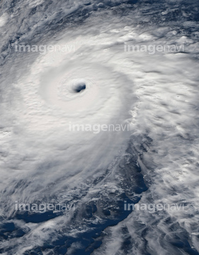
64062426


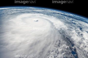
64062428


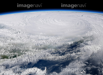
64062425

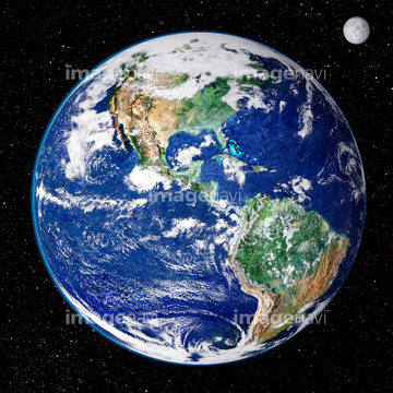
64062429


64064290

64109508

64046145


64062430


64061242


64075588

64075590


64057054

64064274

64243149

64049194

64067332


64108861


64067337

64044574

64014771

64067282


64220039


64014773

64170235

64170236

64067343


64014930

64063157
64063156

64087305
64011210


64079777

64164839
64076173

64135588


64109509


64161003


64200497


64093933

64139331

64084875

64076181

64057050

64057051

64057052

64057060


64067333


64014970

64243450

17200257


64067334

64067335

64067336
64087306

64141184
64109677


64089327

64098808
64059363

64057061


64057064


64040980

64041383

64041390

64131456

64014973

64014976

64014977

64014985

64014986

64014988

64014989

64017093
64131460


64086667

64152470

64067286

64109506


64219636

64062174

64062175


64061234

64061235


64088728

64043083

64242042


64109563


64096996
64131362

64014987

64149337


64116186

64116187

64116188

64014974


64109227

64046391

64140770
64078929
64078930
64078995
64078996
64078997

64062373


64014972

64016158
64039902

64040166

64011221

64011223

64011225
64015483


64053684

64092867

64092868


64014700

64051876

64016071

64061241

64045640

64045641

64045643

64045644

64045655

64053325
64064291

64067331

64087823
| 次ページ |
