HOME > 写真 > 自然・風景 > 宇宙 > 地球
10,000件の写真素材が検索されました。
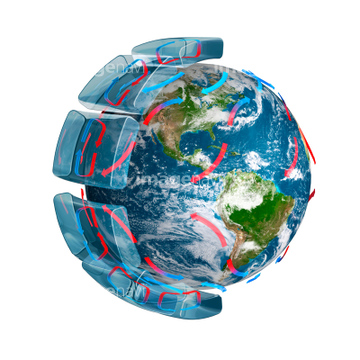
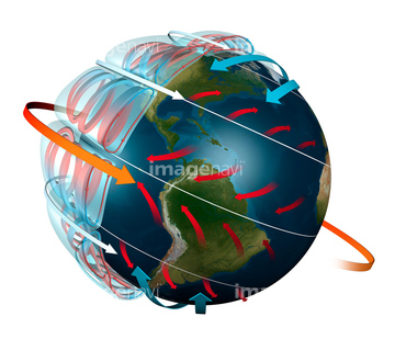
この検索結果には、Global tectonics, Pacific Plate、Global tectonics, South American Plate、Global tectonics, African Plate、Global tectonics, Antarctic Plate、Global tectonics, Australian Plate、Global tectonics, Eurasian Plateなどが含まれています。

64079777


64061242

64075588

64075590


64064274

64067282

64046145

64084875

64076181


64170236

64220039

64057050

64170235

64085887

64057054

64067334


64109508

64049194


64014771


64067336


64047887

64047888


64062425

64062429

64243149

64131456

64075830

64043385


64066108

64066109

64066110

64066111


64066113


64067274

64067275

64067276

64067277


64067279


64067805

64109509


64111650


64067332


64062426


64062428


64078166
64078167
64078186

64062174

64062175

64075792

64014700


64016158

64217603


64081457
64081459
64081460

64067286


64057051

64057052

64057060

64067335

64108861


64064290

64067333
17212723
64109562


64219636

17262381
64044035


64085876

64085879

64085880

64109745
14915396
14915400


64053686
64111649

64116186

64116187

64116188

64200497
17266919


14915401
14915402
21840829
21840830
21840831


64057061

64057064

64067337

64109563
64109477
64109478
64109479


64085875
14911102
14911103
14910064
14910066
14910068
14910069
14910072
14910079
10117313


17212866
00047432
00042910
00042911
00042912
10125298
17226319
17226332
31161646
40775174

40775175
64070959
64040993
64200590


64089327


64109506


64164839


64243450

64149337

64062430

64044574

64014970

64014976

64014977

64014985
17262378
17266911
10130590
10130591
| 次ページ |
